Grouse Creek
- 14.9 mi
- round trip
- 737 ft
- climb
- 8,688 ft
- high point
- Out and back
- route
Is Grouse Creek open right now?
Alert in the area
The Forest Service lists an alert for Salmon-Challis National Forest.
Stoddard Bridge Construction Closure
Agency alert covering Salmon-Challis National Forest · Order 0413-07-17 · USFS · Salmon-Challis National Forest
As of · Source: USFS · Salmon-Challis National Forest. Agencies don't list every closure — check before you go.
Grouse Creek is a hard hike in Idaho's Frank Church-River of No Return Wilderness, on the Middle Fork Ranger District of the Salmon-Challis National Forest. The Forest Service manages the land, and the trail is a natural-surface out-and-back that climbs from about 3,946 feet to 8,688 feet over roughly 14.9 miles. The one-way gain is 737 feet, and the route is rated hard. Horses are allowed, but bikes are not. The trail lies entirely within designated wilderness, so plan for a remote, backcountry experience. Macarte Ridge is about half a mile away, and Woodtick Cutoff and Cove Creek are both within about 2.5 miles. Camas Creek, a paddling route, is about 8.5 miles off.
Local outfitters
- The Sawmill Station42 mi away
Not on Roamze yet. Their page has how to reach them.
Keep exploring — more trails worth the drive
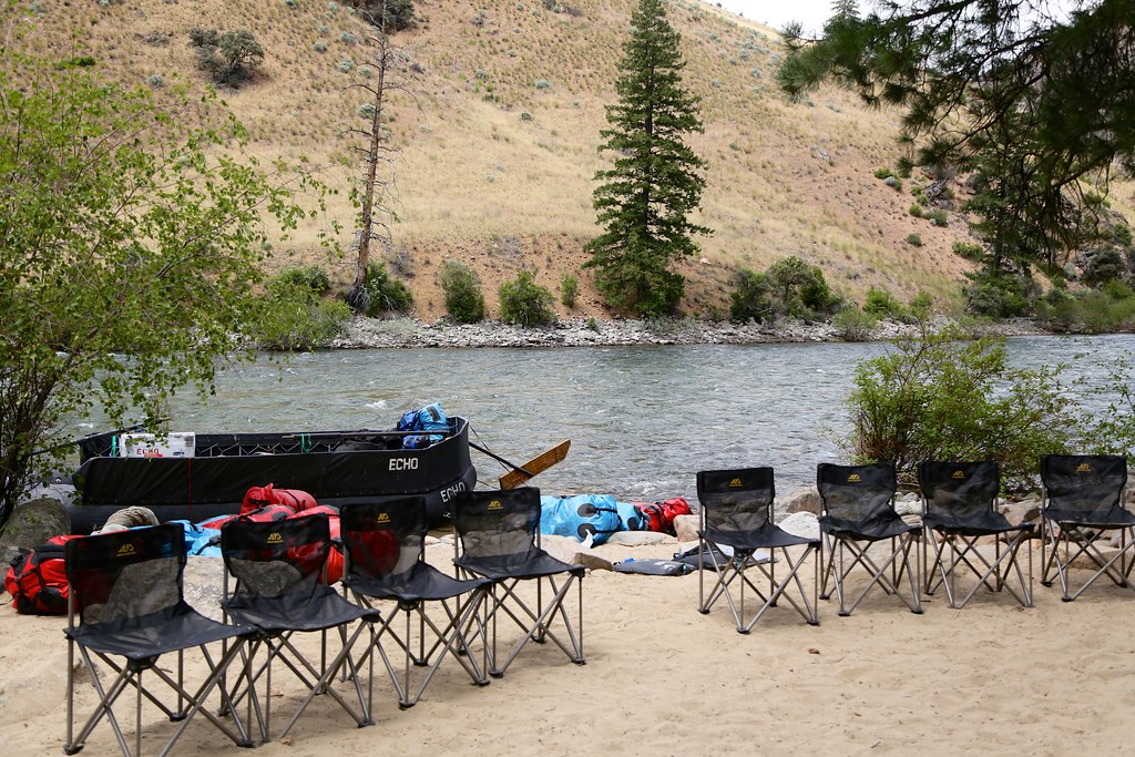 Photo: Northwest Rafting Company, CC BY 2.0 (via Flickr)
Bear Creek Pt.
~13 min drive
34.86-mile out-and-back trail in Idaho with 5,066 ft elevation gain.
HIKE
WOODTICK CUTOFF
~3 min drive
6.98-mile out-and-back trail in Idaho with 5,101 ft elevation gain.
HIKE
Cove Creek
~4 min drive
2.69-mile out-and-back trail in Idaho with 1,532 ft elevation gain.
HIKE
Sleeping Deer Lo
~9 min drive
1.20-mile out-and-back trail in Idaho with 631 ft elevation gain.
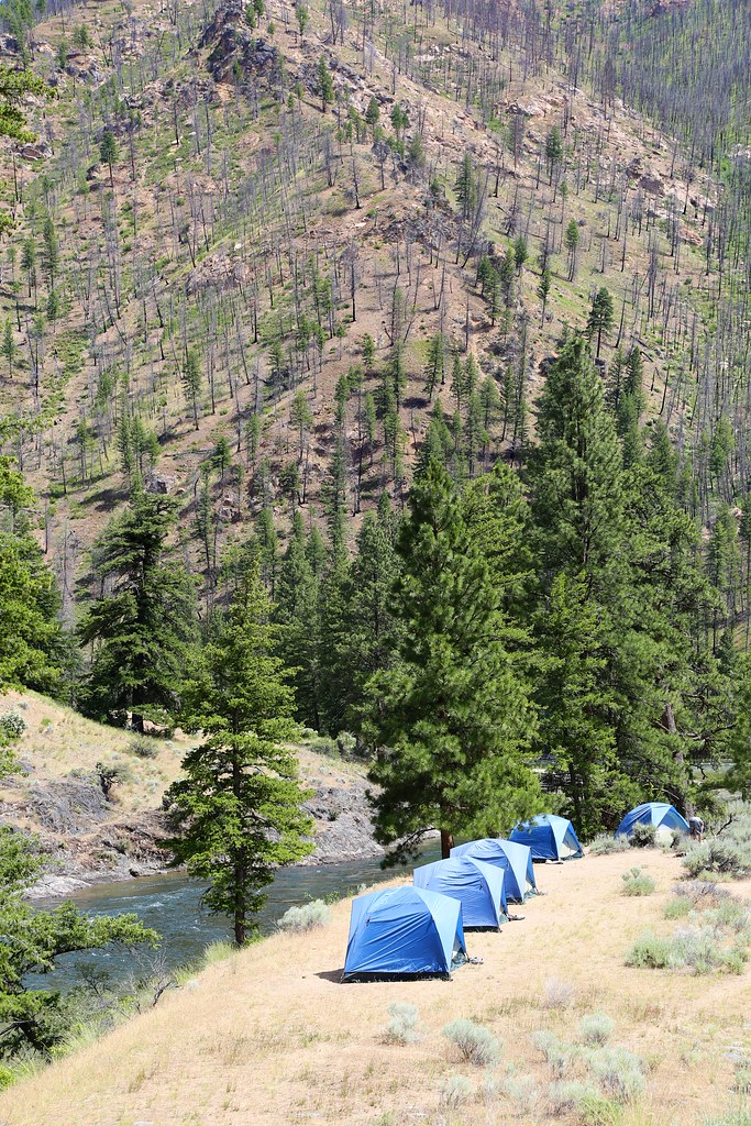 Photo: Northwest Rafting Company, CC BY 2.0 (via Flickr)
White Creek
~14 min drive
11.13-mile out-and-back trail in Idaho with 3,269 ft of elevation gain.
HIKE
Middle Fork Trail
~11 min drive
21.06-mile out-and-back trail in Idaho with 4,733 ft elevation gain
HIKE
Melville Ridge
~10 min drive
4.19-mile out-and-back trail in Idaho with 2,336 ft of elevation gain.
HIKE
Rock Lake
~10 min drive
0.78-mile out-and-back trail to Rock Lake in Idaho with 22 ft gain.
HIKE
W Fk Camas Creek
~4 min drive
22.69-mile out-and-back trail in Idaho with 549 ft gain and 4,235 ft loss.
HIKE
Middle Fork Trail
~13 min drive
24.52-mile out-and-back trail in Idaho with 4,165 ft gain and 4,641 ft max elevation.
