Middle Fork Trail
- 12.3 mi
- round trip
- 4,165 ft
- climb
- 4,641 ft
- high point
- Out and back
- route
- May–Jun, Aug–Sep
- best months
Is Middle Fork Trail open right now?
Alert in the area
The Forest Service lists an alert for Salmon-Challis National Forest.
Stoddard Bridge Construction Closure
Agency alert covering Salmon-Challis National Forest · Order 0413-07-17 · USFS · Salmon-Challis National Forest
As of · Source: USFS · Salmon-Challis National Forest. Agencies don't list every closure — check before you go.
Middle Fork Trail is a 12.26-mile out-and-back hike in Idaho's Frank Church-River of No Return Wilderness, within the Middle Fork Ranger District of the Salmon-Challis National Forest. The Forest Service manages the land, and the trail is rated expert. The route starts at 4,052 feet and climbs steadily to 4,641 feet, with a total gain of 4,165 feet over the full 24.5-mile round trip. The steepest stretch comes at about 6.9 miles, where the grade reaches 16 percent. Summer is the most comfortable time to go. Typical averages from the nearby Middle Fork Lodge weather station, at a similar elevation, show July highs around 86°F with lows near 48°F, while September cools to highs in the mid-70s. White Creek lies just 0.6 miles away, and Cow Creek and Cache Creek are each about 1.7 miles off. Loon Creek is roughly 4.6 miles away.
Local outfitters
- The Sawmill Station42 mi away
Not on Roamze yet. Their page has how to reach them.
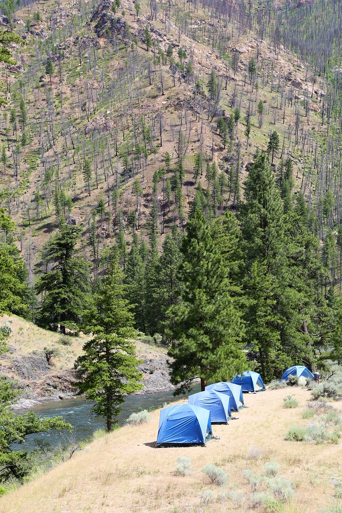 White CreekHikingPhoto: Northwest Rafting Company, CC BY 2.0 (via Flickr)0.6 mi
- Cow CreekHiking1.7 mi
- Cache CreekHiking1.7 mi
- Loon CreekHiking4.6 mi
- Cove CreekHiking6.6 mi
- Little LoonHiking6.9 mi
- Cougar CreekHiking6.9 mi
- Little Loon CreekCanoeing9.5 mi
Source: Roamze catalog (indexable pages within 10 miles, PostGIS distance)
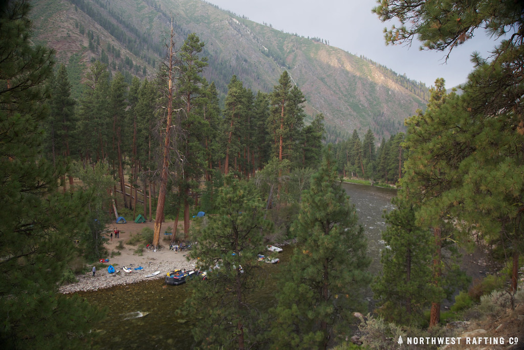 Middle Fork EastHiking · ~16 min drivePhoto: Northwest Rafting Company, CC BY 2.0 (via Flickr)
- Middle Fork TrailHiking · ~18 min drivePhoto: Northwest Rafting Company, CC BY 2.0 (via Flickr)
- Middle Fork TrailHiking · Next door
- Middle Fork TrailHiking · ~2 min drive
- Norton LakeHiking · ~17 min drivePhoto: Northwest Rafting Company, CC BY 2.0 (via Flickr)
- Sleeping Deer LoHiking · ~14 min drive
- Middle Fork TrailHiking · ~16 min drive
- Jack Creek TrailHiking · ~15 min drive
- White CreekHiking · ~1 min drivePhoto: Northwest Rafting Company, CC BY 2.0 (via Flickr)
- Jack Creek Spur 1Hiking · ~14 min drive
Best time to visit Middle Fork Trail
Best months: May–June and August–September. Best months have typical highs of 55–85 °F, lows of 30 °F or warmer (32 °F where the station doesn't record snow), at most one snowy day and no more than 12 wet days.
Jan
34° / 16°
10 wet
Feb
40° / 18°
8 wet
Mar
50° / 25°
10 wet
Apr
57° / 31°
11 wet
May
67° / 38°
12 wet
Jun
75° / 44°
11 wet
Jul
86° / 48°
6 wet
Aug
85° / 46°
5 wet
Sep
76° / 39°
6 wet
Oct
61° / 31°
8 wet
Nov
43° / 23°
11 wet
Dec
33° / 15°
11 wet
Typical high / low (°F) and days with rain or snow, 1991–2020. Measured at Middle Fork Lodge, ID, 10.3 mi away at 4,480 ft. This station doesn't record snowfall. Source: NOAA NCEI U.S. Climate Normals 1991–2020.
Map and trail data © OpenStreetMap contributors
