Sleeping Deer Lo
- 1.2 mi
- round trip
- 631 ft
- climb
- 9,882 ft
- high point
- Out and back
- route
Is Sleeping Deer Lo open right now?
Alert in the area
The Forest Service lists an alert for Salmon-Challis National Forest.
Stoddard Bridge Construction Closure
Agency alert covering Salmon-Challis National Forest · Order 0413-07-17 · USFS · Salmon-Challis National Forest
As of · Source: USFS · Salmon-Challis National Forest. Agencies don't list every closure — check before you go.
Sleeping Deer Lo is a 1.2-mile out-and-back hike in Idaho's Frank Church-River of No Return Wilderness, within the Middle Fork Ranger District of the Salmon-Challis National Forest. The trail is managed by the Forest Service, and the route rises about 630 feet from its low point at 9,255 feet to a high of 9,882 feet. The trail is an easy walk on natural surface, and it is open year-round. Horses are allowed, but bikes are not. The climb is short, and the trail stays within the wilderness, so the outing is compact and fits easily into a day of exploring the surrounding country. The trailhead is close to other short hikes, including Cabin Creek, which lies about 0.1 mile away, and Rock Lake and Martin Mountain, each roughly 0.7 miles off. Liberty Creek Ridge is about 2 miles away.
Local outfitters
- The Sawmill Station37 mi away
Not on Roamze yet. Their page has how to reach them.
Keep exploring — more trails worth the drive
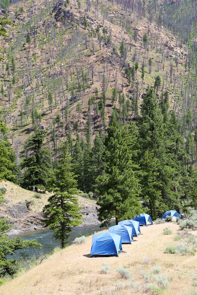 Photo: Northwest Rafting Company, CC BY 2.0 (via Flickr)
White Creek
~14 min drive
11.13-mile out-and-back trail in Idaho with 3,269 ft of elevation gain.
HIKE
Rock Lake
~1 min drive
0.78-mile out-and-back trail to Rock Lake in Idaho with 22 ft gain.
HIKE
Melville Ridge
~7 min drive
4.19-mile out-and-back trail in Idaho with 2,336 ft of elevation gain.
HIKE
WOODTICK CUTOFF
~10 min drive
6.98-mile out-and-back trail in Idaho with 5,101 ft elevation gain.
HIKE
Martin Mountain
~1 min drive
14.79-mile out-and-back trail in Idaho with 703 ft elevation gain.
HIKE
Jack Creek Spur 1
~10 min drive
1.56-mile out-and-back trail in Idaho with 532 ft elevation gain.
HIKE
Cove Creek
~12 min drive
2.69-mile out-and-back trail in Idaho with 1,532 ft elevation gain.
HIKE
Middle Fork Trail
~12 min drive
21.06-mile out-and-back trail in Idaho with 4,733 ft elevation gain
HIKE
Liberty Creek Ridge
~3 min drive
13.88-mile out-and-back trail on a ridge in Idaho with 1,007 ft gain.
HIKE
Middle Fork Trail
~13 min drive
Middle Fork Trail is a 3.7-mile out-and-back in Idaho with 2,048 ft gain.
Route details
- Distance
- 1.2 mi round trip
- Climbing
- About 631 ft
- Summit
- 9,883 ft
- Difficulty
- Easy
Season
Season: Year-round.
Questions about this route
How long is the Sleeping Deer Lo on Sleeping Deer Mountain?
About 1.2 mi round trip.
How much elevation gain is on the Sleeping Deer Lo?
About 631 ft of climbing round trip.
How hard is the Sleeping Deer Lo?
It is rated easy.
When is the best time for the Sleeping Deer Lo?
Year-round.
Conditions and forecast on Sleeping Deer Mountain
Daily highs and lows, wind and the chance of precipitation at the summit and route start for the next 7 days, from the Open-Meteo model.
