Brush Cr-Sheep Cr
- 4.7 mi
- round trip
- 610 ft
- climb
- 4,350 ft
- high point
- Out and back
- route
- Apr, Jun
- best months
Is Brush Cr-Sheep Cr open right now?
Alert in the area
The Forest Service lists an alert for Salmon-Challis National Forest.
Stoddard Bridge Construction Closure
Agency alert covering Salmon-Challis National Forest · Order 0413-07-17 · USFS · Salmon-Challis National Forest
As of · Source: USFS · Salmon-Challis National Forest. Agencies don't list every closure — check before you go.
Brush Cr-Sheep Cr is a 4.7-mile out-and-back hike in Idaho's Frank Church-River of No Return Wilderness, on the Middle Fork Ranger District of the Salmon-Challis National Forest. The trail rises from about 3,700 feet to about 4,350 feet, a 610-foot gain, and is rated moderate. The route is on natural surface, and horses are allowed. Bikes are not. The Forest Service manages the land, and the trail is open year-round. Summer is the most comfortable time to go. Typical averages from a nearby weather station at Taylor run to highs around 76°F in June and 88°F in July, with September easing back to about 76°F. That station sits roughly 500 feet lower than the trail's high point, so temperatures on the ridge run a little cooler. Several other hikes start close by. Bernard is about 0.2 miles away, Brush Creek about 0.3 miles, and Warm Springs about 0.7 miles. Sheep Creek is about 1.6 miles off.
- BernardHiking0.2 mi
- Brush CreekHiking0.3 mi
- Warm SpringsHiking0.7 mi
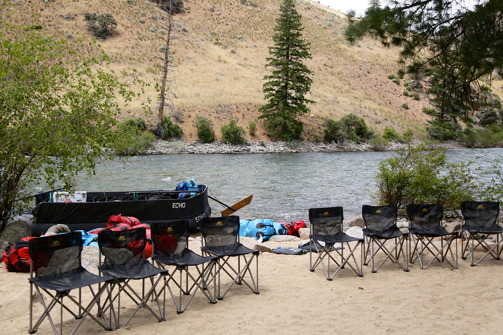 Bear Creek Pt.HikingPhoto: Northwest Rafting Company, CC BY 2.0 (via Flickr)1.1 mi
- Sheep CreekHiking1.6 mi
- Little Bear Cr.Hiking3.4 mi
- Short Creek Lookout SpurHiking4.2 mi
- Yellowjacket CreekCanoeing9.9 mi
Source: Roamze catalog (indexable pages within 10 miles, PostGIS distance)
 BEAGLE CREEKHiking · ~22 min drivePhoto: Bplewe, CC BY-SA 4.0 (via Wikimedia Commons)
- Upper Yellowjacket Cr.Hiking · ~22 min drivePhoto: Bplewe, CC BY-SA 4.0 (via Wikimedia Commons)
- Short Creek Lookout SpurHiking · ~7 min drive
- Soldier BarHiking · ~19 min drive
- PARADISE CR. CUTOFFHiking · ~8 min drive
- Bear Creek Pt.Hiking · ~2 min drivePhoto: Northwest Rafting Company, CC BY 2.0 (via Flickr)
- Middle Fork RiverHiking · ~13 min drive
- Upper Yellowjacket Cr.Hiking · ~22 min drive
- Middle Fork TrailHiking · ~19 min drive
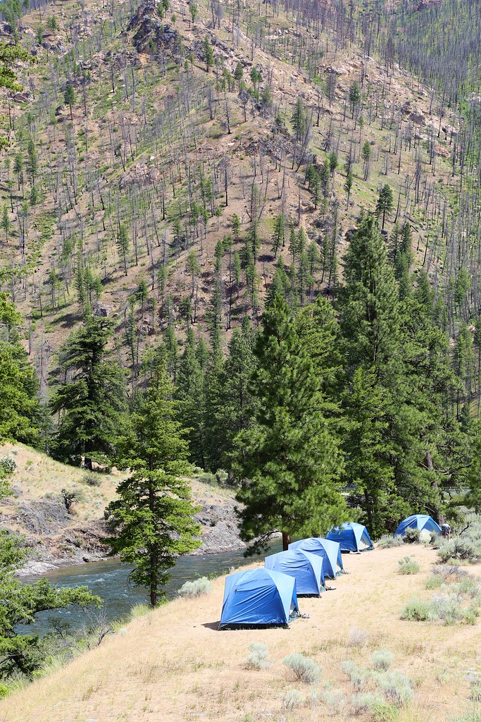 White CreekHiking · ~21 min drivePhoto: Northwest Rafting Company, CC BY 2.0 (via Flickr)
Best time to visit Brush Cr-Sheep Cr
Best months: April, June and September–October. Best months have typical highs of 55–85 °F, lows of 30 °F or warmer (32 °F where the station doesn't record snow), at most one snowy day and no more than 12 wet days.
Jan
31° / 16°
10 wet · 7 snow
Feb
38° / 19°
8 wet · 5 snow
Mar
50° / 27°
10 wet · 3 snow
Apr
59° / 33°
12 wet · 1 snow
May
68° / 40°
13 wet
Jun
76° / 45°
11 wet
Jul
88° / 51°
7 wet
Aug
87° / 50°
6 wet
Sep
76° / 41°
6 wet
Oct
58° / 33°
8 wet · 1 snow
Nov
41° / 25°
10 wet · 4 snow
Dec
30° / 17°
11 wet · 7 snow
Typical high / low (°F) and days with rain or snow, 1991–2020. Measured at Taylor Rch, ID, 11.4 mi away at 3,835 ft. The station sits about 500 ft lower than this place, so expect it a little cooler here. Source: NOAA NCEI U.S. Climate Normals 1991–2020.
