Duffield Creek
- 16.4 mi
- round trip
- 2,380 ft
- climb
- 8,925 ft
- high point
- Out and back
- route
Is Duffield Creek open right now?
Alert in the area
The Forest Service lists an alert for Salmon-Challis National Forest.
Stoddard Bridge Construction Closure
Agency alert covering Salmon-Challis National Forest · Order 0413-07-17 · USFS · Salmon-Challis National Forest
As of · Source: USFS · Salmon-Challis National Forest. Agencies don't list every closure — check before you go.
Duffield Creek is a hard hike in Idaho's Salmon-Challis National Forest, on the Middle Fork Ranger District. The trail is about 16 miles long, with a total elevation gain of about 2,400 feet, and it is an out-and-back route that climbs from a low point of about 6,300 feet to a high point of about 8,900 feet. The Forest Service manages the land, and the trail is open year-round. The trail is natural-surfaced and allows horses, but bikes are not permitted. That makes it a good fit for riders on horseback or for hikers who want to move at a slower pace. Bernard Creek lies about half a mile away, and Sheep Mtn Ridge is about 3 miles off. Beaver-Trail Creek is about 4 miles away, and the Rapid River, a canoeing route, is about 6 miles away.
Local outfitters
- The Sawmill Station34 mi away
- Camp Perkins44 mi away
Not on Roamze yet. Their page has how to reach them.
- Bernard CreekHiking0.6 mi
- Sheep Mtn RidgeHiking3.2 mi
- Beaver-Trail CreekHiking4.1 mi
- Rapid RiverCanoeing5.6 mi
- Fall CreekHiking5.8 mi
- Beaver CreekCanoeing7.5 mi
- Mayfield CreekCanoeing9.5 mi
- Little Loon CreekCanoeing10 mi
Source: Roamze catalog (indexable pages within 10 miles, PostGIS distance)
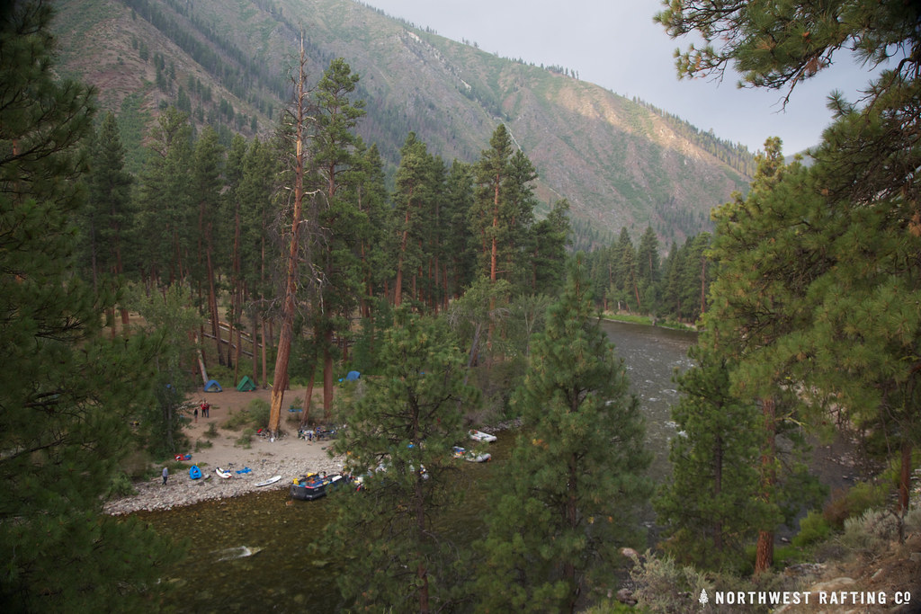 Middle Fork TrailHiking · ~20 min drivePhoto: Northwest Rafting Company, CC BY 2.0 (via Flickr)
- Norton LakeHiking · ~20 min drivePhoto: Northwest Rafting Company, CC BY 2.0 (via Flickr)
- Sheep CreekHiking · ~12 min drive
- Horse LadderHiking · ~13 min drive
- KNAPP CREEK CUTOFFHiking · ~13 min drive
- Middle Fork EastHiking · ~21 min drivePhoto: Northwest Rafting Company, CC BY 2.0 (via Flickr)
- Fish LakeHiking · ~12 min drive
- West Fork Thomas Creek TrailHiking · ~21 min drive
- HAY-KNAPP CREEKHiking · ~16 min drive
- Bernard CreekHiking · ~1 min drive
