Idaho · Hiking
Fall Creek
- 12.5 mi
- round trip
- 515 ft
- climb
- 8,684 ft
- high point
- Out and back
- route
Fall Creek is a hard hike in the Middle Fork Ranger District of Idaho's Salmon-Challis National Forest, about 12.5 miles long with a one-way elevation gain of 515 feet. It's a natural-surfaced route that carries horses, so riders can join the trail, and it is not open to bikes. The Forest Service manages the land. The climb starts at about 6,000 feet and rises to about 8,700 feet, so it's a substantial outing by the end of the day. For overnight trips, Dagger Falls Campground sits about 8 miles away, and Boundary Creek Campground Complex is just beyond it. Paddlers can head to Beaver Creek, roughly 5 miles off, or the Rapid River, a little over 7 miles away.
- LANGER LAKE SPUR 1Hiking2.2 mi
- Soldier BasinHiking2.9 mi
- Langer LakeHiking3.2 mi
- Beaver CreekCanoeing5.2 mi
- Rapid RiverCanoeing7.8 mi
- Dagger Falls CampgroundCamping8 mi
- Boundary Creek Campground ComplexCamping8.3 mi
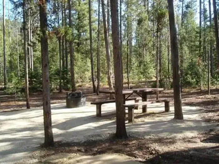 Boundary Creek CampgroundCampingPhoto: Recreation.gov (RIDB) / public domain8.4 mi
Source: Roamze catalog (indexable pages within 10 miles, PostGIS distance)
