Norton Lake
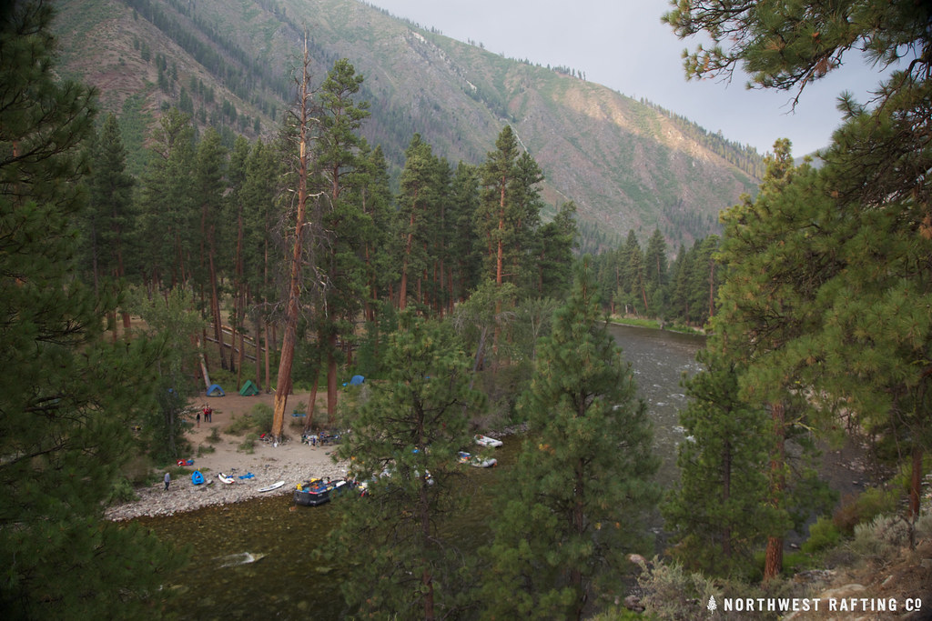 Photo: Northwest Rafting Company, CC BY 2.0 (via Flickr)
- 38.8 mi
- round trip
- 4,685 ft
- climb
- 8,564 ft
- high point
- Out and back
- route
Is Norton Lake open right now?
Alert in the area
The Forest Service lists an alert for Salmon-Challis National Forest.
Stoddard Bridge Construction Closure
Agency alert covering Salmon-Challis National Forest · Order 0413-07-17 · USFS · Salmon-Challis National Forest
As of · Source: USFS · Salmon-Challis National Forest. Agencies don't list every closure — check before you go.
Norton Lake is a hard hike in Idaho's Frank Church-River of No Return Wilderness, within the Middle Fork Ranger District of the Salmon-Challis National Forest. The route is an out-and-back of about 38.8 miles, with a total elevation gain of 4,685 feet, taking you from a low point of about 4,400 feet to a high of about 8,560 feet. The State Department of Land manages the land. The trail is natural-surfaced and allows horses, and bikes are not permitted. It is open year-round, so plan for conditions that can change with the season. The Middle Fork Trail starts about 0.4 miles away, and the Middle Fork East and West Fork Thomas Creek Trail are within a mile. For paddling, Little Loon Creek is about 5.7 miles off.
Local outfitters
- The Sawmill Station42 mi away
Not on Roamze yet. Their page has how to reach them.
Keep exploring — more trails worth the drive
Photo: Northwest Rafting Company, CC BY 2.0 (via Flickr)Middle Fork Trail
Next door
1.56-mile out-and-back trail in Idaho with 172 ft elevation gain/loss.
Photo: Northwest Rafting Company, CC BY 2.0 (via Flickr)Middle Fork East
~1 min drive
24.99-mile out-and-back trail in Idaho with 117 ft of elevation gain.
HIKE
West Fork Thomas Creek Trail
~1 min drive
11-mile out-and-back trail in Idaho with 4,989 ft elevation gain and loss.
HIKE
Pottervine
~8 min drive
3.16-mile out-and-back trail in Idaho with 1,691 ft elevation gain.
HIKE
Big Baldy Lo
~18 min drive
1.81-mile out-and-back trail in Idaho with 601 ft elevation gain.
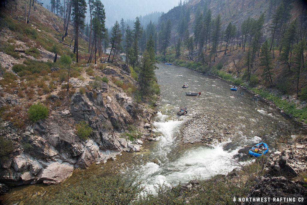 Photo: Northwest Rafting Company, CC BY 2.0 (via Flickr)
Lake Creek
~11 min drive
16.78-mile out-and-back trail in Idaho with 3,270 ft elevation gain.
HIKE
Jack Creek Trail
~16 min drive
12.16-mile out-and-back trail in Idaho with 4,956 ft elevation gain and loss.
HIKE
Middle Fork Trail
~18 min drive
Middle Fork Trail is a 3.7-mile out-and-back in Idaho with 2,048 ft gain.
HIKE
Little Soldier Lookout
~8 min drive
1.87-mile out-and-back trail to Little Soldier Lookout in Idaho with 715 ft of elevation gain.
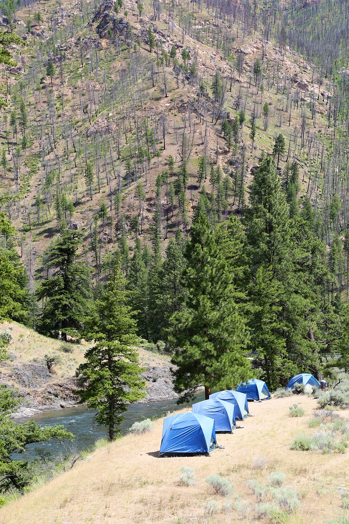 Photo: Northwest Rafting Company, CC BY 2.0 (via Flickr)
White Creek
~17 min drive
11.13-mile out-and-back trail in Idaho with 3,269 ft of elevation gain.
