Beaver Creek
- 14.2 mi
- distance
- 7,463 ft
- high point
- Jul–Aug
- best months
Is Beaver Creek open right now?
Alert in the area
The Forest Service lists an alert for Salmon-Challis National Forest.
Stoddard Bridge Construction Closure
Agency alert covering Salmon-Challis National Forest · Order 0413-07-17 · USFS · Salmon-Challis National Forest
As of · Source: USFS · Salmon-Challis National Forest. Agencies don't list every closure — check before you go.
Beaver Creek is a canoeing route in Idaho's Frank Church-River of No Return Wilderness, within the Middle Fork Ranger District of the Salmon-Challis National Forest. The Forest Service manages the land, and the paddling lies inside designated wilderness. Summer is the most comfortable time to go. Typical averages from a nearby weather station in Stanley show July highs around 80°F with lows near 34°F, and the station sits about 1,200 feet lower than the creek, so temperatures on the water run cooler. Several other paddling and hiking options are close by. Knapp Creek Cutoff and Langer Lake are both within about 2 miles, and Marsh Creek, another canoeing route, is about 6 miles away. Thatcher Campground, roughly 6.5 miles off, offers a place to stay.
Local outfitters
- The Sawmill Station33 mi away
- Camp Perkins37 mi away
Not on Roamze yet. Their page has how to reach them.
- KNAPP CREEK CUTOFFHiking1.8 mi
- Langer LakeHiking2.1 mi
- WINNEMUCCA CREEKHiking2.9 mi
- Cape Horn Winter RentalCamping5.5 mi
- Marsh CreekCanoeing6 mi
- Thatcher CampgroundCamping6.5 mi
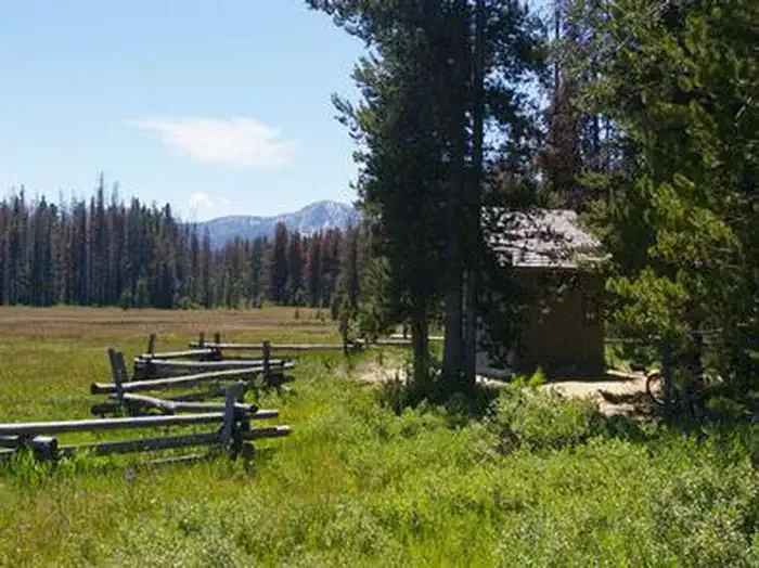 Trap Creek CampgroundCampingPhoto: Recreation.gov (RIDB) / public domain9 mi
- Duffield CreekCanoeing10 mi
Source: Roamze catalog (indexable pages within 10 miles, PostGIS distance)
 Middle Fork Salmon RiverCanoeing · ~22 min drivePhoto: Rex Parker, CC BY 2.0 (via Wikimedia Commons)
- Salmon River Bridge AccessBoat launch · ~29 min drive
- HelendeFloat trip · ~54 min drive
 South Fork Salmon RiverCanoeing · ~59 min drivePhoto: Zachary Collier, CC BY 2.0 (via Wikimedia Commons)
- Elk Creek Boat LaunchBoat launch · ~37 min drive
- Park CreekFloat trip · ~58 min drive
- Valley CreekCanoeing · ~17 min drive
- Sandy Beach Boat RampBoat launch · ~39 min drive
- Mountain ViewFloat trip · ~1h 3m drive
- Basin CreekCanoeing · ~23 min drive
Best time to visit Beaver Creek
Best months: July–August. Best months have typical highs of 55–85 °F, lows of 30 °F or warmer (32 °F where the station doesn't record snow), at most one snowy day and no more than 12 wet days.
Jan
26° / -3°
Feb
33° / -1°
Mar
43° / 9°
Apr
50° / 18°
May
60° / 26°
Jun
69° / 31°
Jul
80° / 34°
Aug
79° / 32°
Sep
70° / 25°
Oct
56° / 19°
Nov
38° / 10°
Dec
25° / -2°
Typical high / low (°F) and days with rain or snow, 1991–2020. Measured at Stanley, ID, 17 mi away at 6,249 ft. The station sits about 1,200 ft lower than this place, so expect it a little cooler here. This station doesn't record snowfall. Source: NOAA NCEI U.S. Climate Normals 1991–2020.
