
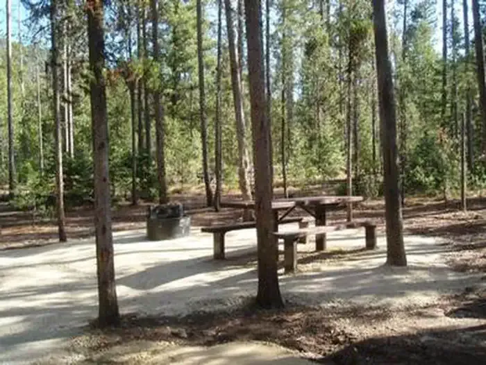

The Sawmill Station
Hiking business nearby (~42 mi away) — hasn't claimed their Roamze page yet
Free — you'll pick up right here.
Watch this trail
Sign up to watch it — saving subscribes you to gate, closure and report changes.
Idaho
25.0 mi
Distance
117 ft
Gain
We won't guess. Here is exactly what we do and don't know.
What we do know
Inside Salmon-Challis National Forest
3 managing-area boundaries mapped — agency alerts for them feed this page automatically.
Boundary data
What's missing
No access route mapped
We don't yet know which road reaches this trailhead, so we can't tell you if it's gated.
Nobody's filed a report here yet — be the first.
Why you'll love it
Middle Fork East
AI-suggested draft · review before you go
No permit or access details on file for this trail — check with the local land manager before you go.
Middle Fork East is a long-distance trail offering an extended journey through Idaho's backcountry with minimal elevation change, making it ideal for hikers seeking distance over vertical challenge. The trail traverses the Middle Fork drainage system, providing access to remote wilderness areas with opportunities for wildlife viewing and solitude. This out-and-back or through-hike route is best suited for experienced backpackers comfortable with multi-day treks.
Norton Lake
~1 min drive
Epic 38.8-mile backcountry trek to Norton Lake with 4,685 ft elevation gain.
Little Soldier Lookout
~9 min drive
Steep 1.87-mile climb to a historic fire lookout with panoramic views.
Pottervine
~9 min drive
Steep 3.16-mile climb with 1,691 ft gain through Idaho forest.
East Fork Thomas Creek
~3 min drive
Moderate 8.31-mile creek drainage hike with 2,732 ft elevation gain.
Beaver-Trail Creek
~27 min drive
Easy 1.18-mile creek-side walk through Idaho forest.
Sheep Creek
~10 min drive
Moderate 5.93-mile climb through Sheep Creek drainage with 2,122 ft elevation gain.
Little Loon
~5 min drive
Challenging 23.7-mile backcountry trail with 3,476 ft elevation gain in remote Idaho.
Sleeping Deer Lo
~27 min drive
Short, easy foothill hike with steady elevation gain near Sleeping Deer.
Canyon Creek
~10 min drive
Moderate 8.75-mile canyon creek hike with 2,461 ft elevation gain.
Big Baldy Lo
~19 min drive
Steep 1.81-mile summit hike with 601 ft elevation gain near Big Baldy.
Local operatorsoffering guided trips. You book directly with them — Roamze doesn’t take a cut.
The Sawmill Station
Hiking business nearby (~42 mi away) — hasn't claimed their Roamze page yet