Coyote Spring
- 19.8 mi
- round trip
- 4,388 ft
- climb
- 8,697 ft
- high point
- Out and back
- route
Is Coyote Spring open right now?
Alert in the area
The Forest Service lists 5 alerts for Payette National Forest.
Over Snow Vehicle Closure (Forestwide)
Agency alert covering Payette National Forest · Order 0412-638 · USFS · Payette National Forest
Over Snow Vehicle Closure (Brundage Mountain Resort Snowcat Routes)
Agency alert covering Payette National Forest · Order 0412-637 · USFS · Payette National Forest
Lost Valley Log Hauling
Agency alert covering Payette National Forest · USFS · Payette National Forest
Over Snow Vehicle Closure (Granite Mountain)
Agency alert covering Payette National Forest · Order 0412-635 · USFS · Payette National Forest
Gordon Titus Upper Elevation Parking Lot Winter Restrictions
Agency alert covering Payette National Forest · Order 0412-543 · USFS · Payette National Forest
As of · Source: USFS · Payette National Forest. Agencies don't list every closure — check before you go.
Coyote Spring is a hard hike in Idaho's Frank Church-River of No Return Wilderness, on the Krassel Ranger District of the Payette National Forest. The route is an out-and-back of about 20 miles, with a total elevation gain of about 4,400 feet, taking you from a low point of about 4,065 feet to a high of about 8,697 feet. The trail is on natural surface, and horses are allowed. Bikes are not. The Forest Service manages the land, and the trail is open year-round. For supplies, the nearest places are Stoddard Lake, about 5 miles away, and Cabin Creek Airfield, a campground about 6 miles off. Soldier Bar and Goat Creek (Wilderness) are both within about 6 miles.
- Stoddard LakeHiking5.2 mi
- Cabin Creek AirfieldCamping5.9 mi
- Soldier BarHiking6.2 mi
- Goat Creek (Wilderness)Hiking6.3 mi
- Big Creek RidgeHiking6.4 mi
- Soldier Bar AirfieldCamping6.5 mi
- Spring CreekHiking6.5 mi
- Cold Meadows AirfieldCamping8.2 mi
Source: Roamze catalog (indexable pages within 10 miles, PostGIS distance)
 Harbor LakeHiking · ~22 min drivePhoto: Mario Hains, CC BY-SA 3.0 (via Wikimedia Commons)
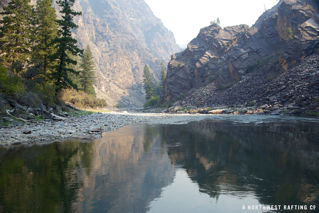 StoddardHiking · ~22 min drivePhoto: Northwest Rafting Company, CC BY 2.0 (via Flickr)
- Soldier BarHiking · ~11 min drive
- Cramer BasinHiking · ~23 min drive
- Rush Creek PointHiking · ~13 min drive
- WaterfallHiking · ~25 min drivePhoto: Mario Hains, CC BY-SA 3.0 (via Wikimedia Commons)
- Ship IslandHiking · ~21 min drive
- PARADISE CR. CUTOFFHiking · ~23 min drive
- Short Creek Lookout SpurHiking · ~22 min drive
- Mirror LakeHiking · ~25 min drivePhoto: Mario Hains, CC BY-SA 3.0 (via Wikimedia Commons)
