Rush Creek Point
- 3.9 mi
- round trip
- 780 ft
- climb
- 6,756 ft
- high point
- Out and back
- route
- Jun–Aug
- best months
Is Rush Creek Point open right now?
Alert in the area
The Forest Service lists 5 alerts for Payette National Forest.
Over Snow Vehicle Closure
Agency alert covering Payette National Forest · Order 0412-638 · USFS · Payette National Forest
Brundage Mountain Resort Snowcat Route Closure
Agency alert covering Payette National Forest · Order 0412-637 · USFS · Payette National Forest
Lost Valley Log Hauling
Agency alert covering Payette National Forest · USFS · Payette National Forest
Granite Mountain Over Snow Vehicle Closure
Agency alert covering Payette National Forest · Order 0412-635 · USFS · Payette National Forest
Gordon Titus Upper Elevation Parking Lot Winter Restrictions
Agency alert covering Payette National Forest · Order 0412-543 · USFS · Payette National Forest
As of · Source: USFS · Payette National Forest. Agencies don't list every closure — check before you go.
Rush Creek Point is a moderate out-and-back hike in Idaho's Frank Church-River of No Return Wilderness, within the Krassel Ranger District of the Payette National Forest. The trail is about 3.9 miles long, with a one-way elevation gain of 780 feet, and it rises from a low point of about 3,984 feet to a high point of about 6,756 feet. The land is managed by the State Department of Land. The route is natural-surfaced and allows horses, and bikes are not permitted. It works well for a day in the backcountry, with the high point offering a destination for the climb. Summer is the most comfortable time to go. Typical averages from a nearby weather station in Warren, Idaho, show July and August highs around 79°F with lows in the mid-30s, while winter highs stay in the mid-30s and lows drop to single digits. Canyon Creek and Spring Creek are both about 1.7 miles away, and Cabin Creek Airfield is about 2.4 miles off. Rush Creek, a canoeing spot, is about 4.4 miles away.
Best time to go · Jun–Aug
Best time to visit Rush Creek Point
Best months: June–August. Best months have typical highs of 55–85 °F, lows of 30 °F or warmer (32 °F where the station doesn't record snow), at most one snowy day and no more than 12 wet days.
Jan
35° / 7°
Feb
41° / 7°
Mar
46° / 17°
Apr
50° / 20°
May
59° / 27°
Jun
68° / 34°
Jul
79° / 37°
Aug
79° / 35°
Sep
69° / 30°
Oct
56° / 23°
Nov
41° / 16°
Dec
34° / 9°
Typical high / low (°F) and days with rain or snow, 1991–2020. Measured at Warren, ID, 38 mi away at 5,907 ft. The station sits about 800 ft lower than this place, so expect it a little cooler here. This station doesn't record snowfall. Source: NOAA NCEI U.S. Climate Normals 1991–2020.
Keep exploring — more trails worth the drive
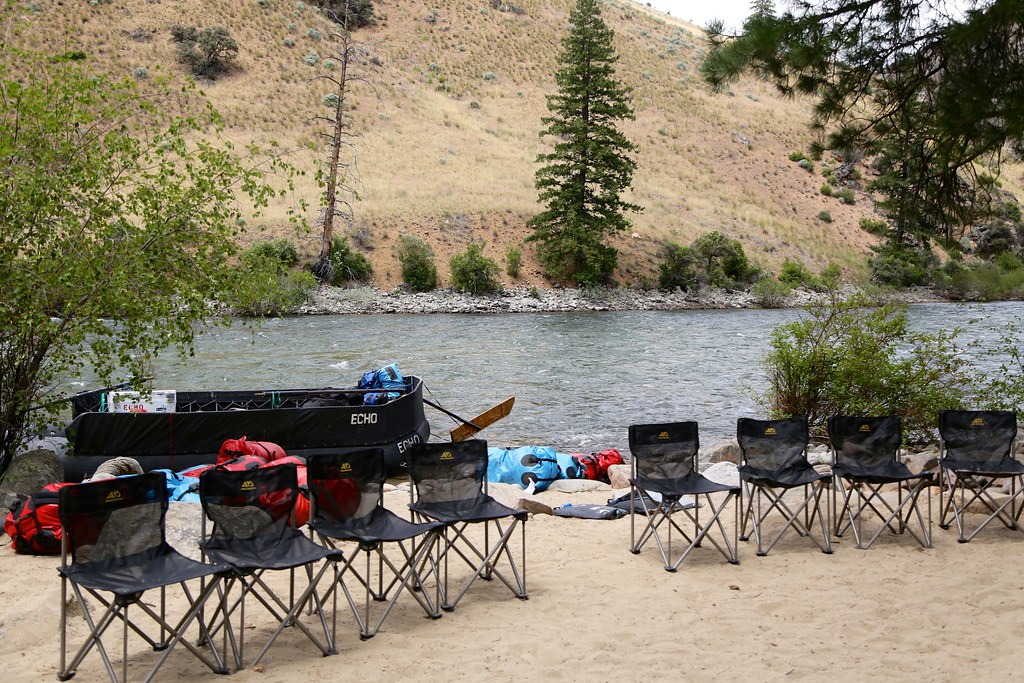 Photo: Northwest Rafting Company, CC BY 2.0 (via Flickr)
Bear Creek Pt.
~26 min drive
34.86-mile out-and-back trail in Idaho with 5,066 ft elevation gain.
HIKE
Soldier Bar
~11 min drive
1.32-mile out-and-back trail in Idaho with 490 ft gain.
HIKE
PARADISE CR. CUTOFF
~17 min drive
9.44-mile out-and-back trail in Idaho with 5,165 ft elevation gain
HIKE
Short Creek Lookout Spur
~17 min drive
2.4-mile out-and-back trail in Idaho with 1,418 ft elevation gain and 7,804 ft max elevation.
HIKE
Canyon Creek
~3 min drive
11.47-mile out-and-back trail in Idaho with 3,242 ft elevation gain.
HIKE
Telephone Creek
~17 min drive
11.56-mile out-and-back trail in Idaho.
HIKE
Shelrock Ridge Trail
~18 min drive
29.22-mile out-and-back trail in Idaho with 9,742 ft gain/loss.
HIKE
Middle Fork River
~18 min drive
5.22-mile out-and-back trail on Middle Fork River in Idaho.
HIKE
Spring Creek
~3 min drive
14.09-mile out-and-back trail in Idaho with 3,710 ft elevation gain.
HIKE
Lookout Mountain Trail
~22 min drive
1.86-mile out-and-back trail in Idaho with 633 ft of elevation gain
