Soldier Bar
- 1.3 mi
- round trip
- 490 ft
- climb
- 4,207 ft
- high point
- Out and back
- route
- Apr, Jun
- best months
Is Soldier Bar open right now?
Alert in the area
The Forest Service lists 5 alerts for Payette National Forest.
Over Snow Vehicle Closure
Agency alert covering Payette National Forest · Order 0412-638 · USFS · Payette National Forest
Brundage Mountain Resort Snowcat Route Closure
Agency alert covering Payette National Forest · Order 0412-637 · USFS · Payette National Forest
Lost Valley Log Hauling
Agency alert covering Payette National Forest · USFS · Payette National Forest
Granite Mountain Over Snow Vehicle Closure
Agency alert covering Payette National Forest · Order 0412-635 · USFS · Payette National Forest
Gordon Titus Upper Elevation Parking Lot Winter Restrictions
Agency alert covering Payette National Forest · Order 0412-543 · USFS · Payette National Forest
As of · Source: USFS · Payette National Forest. Agencies don't list every closure — check before you go.
Soldier Bar is an easy out-and-back hike of about 1.3 miles in Idaho's Frank Church-River of No Return Wilderness, within the Krassel Ranger District of the Payette National Forest. The Forest Service manages the land, and the nearest town is Yellowjacket, about 16 miles away. The trail rises about 490 feet from a low point of 3,702 feet to a high of 4,207 feet. Horses are allowed, and the route is not accessible. Bikes are not. Summer is the most comfortable time to go. Typical averages from a nearby weather station show July highs around 88°F with lows near 51°F, while September cools to highs around 76°F with fewer wet days. Goat Creek (Wilderness) starts just 0.1 mile away, and Soldier Bar Airfield campground is about 0.4 mile off. Big Creek Ridge and the Middle Fork River lie within about 5 miles.
Best time to go · Apr, Jun
Best time to visit Soldier Bar
Best months: April, June and September–October. Best months have typical highs of 55–85 °F, lows of 30 °F or warmer (32 °F where the station doesn't record snow), at most one snowy day and no more than 12 wet days.
Jan
31° / 16°
10 wet · 7 snow
Feb
38° / 19°
8 wet · 5 snow
Mar
50° / 27°
10 wet · 3 snow
Apr
59° / 33°
12 wet · 1 snow
May
68° / 40°
13 wet
Jun
76° / 45°
11 wet
Jul
88° / 51°
7 wet
Aug
87° / 50°
6 wet
Sep
76° / 41°
6 wet
Oct
58° / 33°
8 wet · 1 snow
Nov
41° / 25°
10 wet · 4 snow
Dec
30° / 17°
11 wet · 7 snow
Typical high / low (°F) and days with rain or snow, 1991–2020. Measured at Taylor Rch, ID, 2.3 mi away at 3,835 ft. Source: NOAA NCEI U.S. Climate Normals 1991–2020.
Keep exploring — more trails worth the drive
 Photo: Mario Hains, CC BY-SA 3.0 (via Wikimedia Commons)
Harbor Lake
~19 min drive
3.40-mile out-and-back trail to Harbor Lake in Idaho with 848 ft of elevation gain.
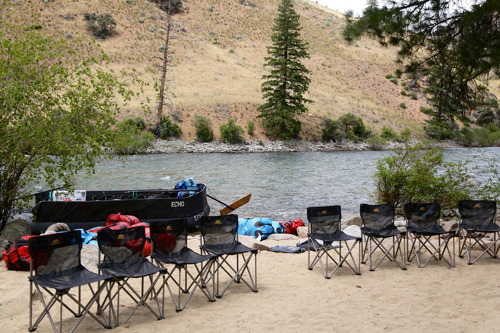 Photo: Northwest Rafting Company, CC BY 2.0 (via Flickr)
Bear Creek Pt.
~21 min drive
34.86-mile out-and-back trail in Idaho with 5,066 ft elevation gain.
HIKE
PARADISE CR. CUTOFF
~12 min drive
9.44-mile out-and-back trail in Idaho with 5,165 ft elevation gain
HIKE
Ship Island
~19 min drive
6.68-mile out-and-back trail on Ship Island in Idaho with 170 ft of elevation gain.
HIKE
Middle Fork River
~8 min drive
5.22-mile out-and-back trail on Middle Fork River in Idaho.
Photo: Mario Hains, CC BY-SA 3.0 (via Wikimedia Commons)Waterfall
~21 min drive
32.21-mile out-and-back trail in Idaho with 665 ft elevation gain.
HIKE
Upper Yellowjacket Cr.
~22 min drive
4.95-mile out-and-back trail in Idaho with 854 ft elevation gain.
HIKE
Rush Creek Point
~11 min drive
3.87-mile out-and-back trail in Idaho with 780 ft elevation gain.
Photo: Mario Hains, CC BY-SA 3.0 (via Wikimedia Commons)Mirror Lake
~23 min drive
7.93-mile out-and-back trail to Mirror Lake in Idaho with 1,238 ft of elevation gain.
HIKE
Middle Fork Peak Cut Off
~22 min drive
1.32-mile out-and-back trail in Idaho with 649 ft elevation gain.
