Cramer Basin
- 11.5 mi
- round trip
- 3,748 ft
- climb
- 8,137 ft
- high point
- Out and back
- route
Is Cramer Basin open right now?
Alert in the area
The Forest Service lists an alert for Salmon-Challis National Forest.
Stoddard Bridge Construction Closure
Agency alert covering Salmon-Challis National Forest · Order 0413-07-17 · USFS · Salmon-Challis National Forest
As of · Source: USFS · Salmon-Challis National Forest. Agencies don't list every closure — check before you go.
Cramer Basin is an out-and-back hike in Idaho's Salmon-Challis National Forest, within the North Fork Ranger District. The trail is managed by the Forest Service and runs about 11.5 miles, with a total elevation gain of 3,748 feet. The route starts at a low point of about 3,012 feet and climbs to a high point of 8,137 feet, making it a long, steep journey suited to experienced hikers. The trail is open year-round, and the natural surface allows for horses and bikes. That makes it a versatile route for riders and pack animals as well as foot traffic. The climb is the defining challenge here. With a one-way gain of nearly 3,750 feet, the trip is best planned as a full day or more. The high point at 8,137 feet sits well above the starting elevation, so expect a steady, sustained ascent. Several other hikes lie within a few miles, including Stoddard and Stoddard Access, both about 2 miles away, and Nolan Pt. at about 2.7 miles. For an overnight base, Corn Creek Campground Complex is roughly 4.6 miles off.
Keep exploring — more trails worth the drive
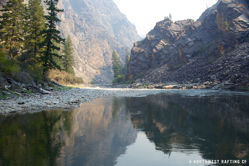 Photo: Northwest Rafting Company, CC BY 2.0 (via Flickr)
Stoddard
~3 min drive
25.40-mile point-to-point trail in Idaho with 8,278 ft elevation gain.
 Photo: Mario Hains, CC BY-SA 3.0 (via Wikimedia Commons)
Harbor Lake
~22 min drive
3.40-mile out-and-back trail to Harbor Lake in Idaho with 848 ft of elevation gain.
HIKE
Stoddard Access
~3 min drive
1.24-mile out-and-back trail in Idaho with 65 ft of elevation gain.
HIKE
Horse Creek Trail
~14 min drive
28.66-mile out-and-back trail in Idaho with 4,466 ft elevation gain.
Photo: Mario Hains, CC BY-SA 3.0 (via Wikimedia Commons)Mirror Lake
~20 min drive
7.93-mile out-and-back trail to Mirror Lake in Idaho with 1,238 ft of elevation gain.
HIKE
Corral Flat - Sage Brush
~16 min drive
3.62-mile out-and-back trail in Idaho with 2,004 ft elevation loss.
HIKE
Bear Basin
~6 min drive
6.38-mile out-and-back trail in Idaho with 1,620 ft elevation gain.
HIKE
Elkhorn
~16 min drive
5.82-mile out-and-back trail in Idaho with 637 ft gain and 2,899 ft loss.
Photo: Mario Hains, CC BY-SA 3.0 (via Wikimedia Commons)Waterfall
~23 min drive
32.21-mile out-and-back trail in Idaho with 665 ft elevation gain.
HIKE
Rancherio
~18 min drive
4.36-mile out-and-back trail in Idaho with 237 ft elevation gain.
Also worth it near here
