Cottonwood Butte
- 25.9 mi
- one way
- 5,958 ft
- climb
- 9,013 ft
- high point
- Point to point
- route
Is Cottonwood Butte open right now?
Alert in the area
The Forest Service lists an alert for Salmon-Challis National Forest.
Stoddard Bridge Construction Closure
Agency alert covering Salmon-Challis National Forest · Order 0413-07-17 · USFS · Salmon-Challis National Forest
As of · Source: USFS · Salmon-Challis National Forest. Agencies don't list every closure — check before you go.
Cottonwood Butte is a hard hike in Idaho's Frank Church-River of No Return Wilderness, on the North Fork Ranger District of the Salmon-Challis National Forest. The Forest Service manages the land, and the nearest town is Upper Crossing, about 17 miles away. The route is a point-to-point trail of about 26 miles, with a total elevation gain of nearly 6,000 feet. It starts at around 2,874 feet and climbs to about 9,013 feet. The trail surface is natural, and horses are allowed. Bikes are not. Horse Creek Trail lies about half a mile away, and Skunk Camp is about 2 miles off. Corn Creek Campground Complex and Wendover Campground are both within about 8 miles.
- Horse Creek TrailHiking0.6 mi
- Skunk CampHiking2.3 mi
- Lower Salmon RiverHiking2.9 mi
- CamelHiking3 mi
- Corn Creek Campground ComplexCamping3 mi
- Butts PointHiking3.2 mi
- Wendover CampgroundCamping8.1 mi
- Horse CreekCanoeing9.1 mi
Source: Roamze catalog (indexable pages within 10 miles, PostGIS distance)
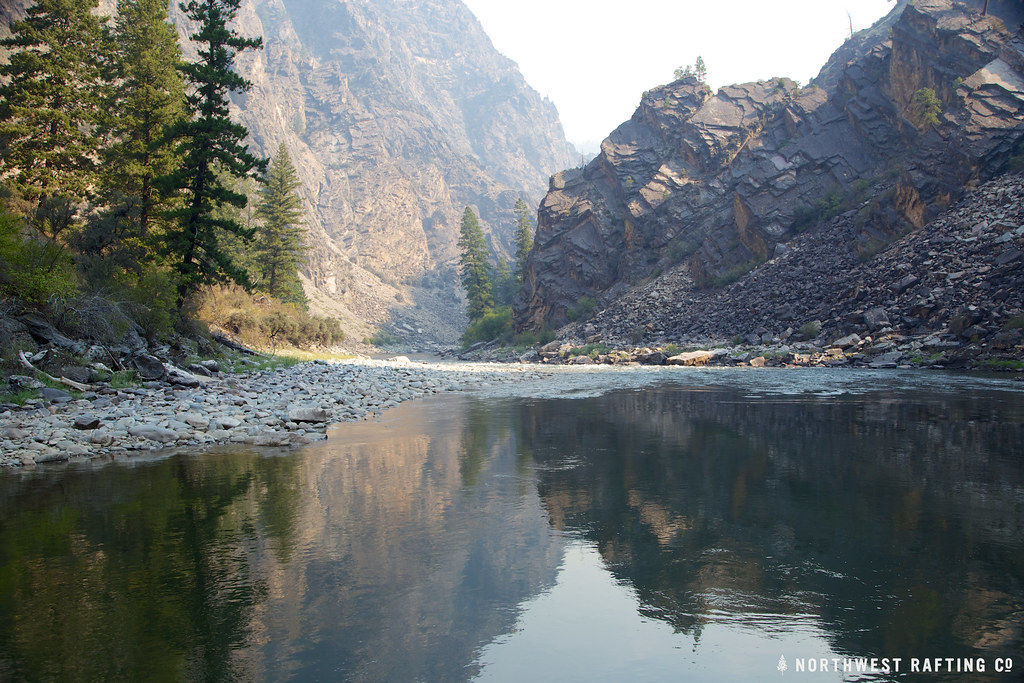 StoddardHiking · ~16 min drivePhoto: Northwest Rafting Company, CC BY 2.0 (via Flickr)
- Horse Creek TrailHiking · ~1 min drive
- Lower Salmon RiverHiking · ~5 min drive
- Stripe Creek-DivideHiking · ~15 min drive
- Skunk CampHiking · ~4 min drive
- Cramer BasinHiking · ~13 min drive
- Waugh Mtn-West Horse TrailHiking · ~11 min drive
- Butts PointHiking · ~5 min drive
- HORSE CREEKHiking · ~20 min drive
- Elkhorn MountainHiking · ~14 min drive
