Big Baldy Lo
- 1.8 mi
- round trip
- 601 ft
- climb
- 9,696 ft
- high point
- Out and back
- route
Is Big Baldy Lo open right now?
Alert in the area
The Forest Service lists an alert for Salmon-Challis National Forest.
Stoddard Bridge Construction Closure
Agency alert covering Salmon-Challis National Forest · Order 0413-07-17 · USFS · Salmon-Challis National Forest
As of · Source: USFS · Salmon-Challis National Forest. Agencies don't list every closure — check before you go.
Big Baldy Lo is an easy out-and-back hike of about 1.8 miles in Idaho's Frank Church-River of No Return Wilderness, on the Middle Fork Ranger District of the Salmon-Challis National Forest. The Forest Service manages the land, and the trail is rated easy with a one-way climb of about 600 feet. The route starts at a low point of about 9,066 feet and reaches a high of about 9,696 feet. The trail surface is natural, and horses are allowed. Bikes are not. Garden Way lies about 0.8 miles away, and Little Pistol Creek and Big Baldy Ridge are each about 4 miles off. Paddlers can find Pistol Creek about 7 miles away.
Local outfitters
- Black Bear RV Park44 mi away
- Arrowhead RV Park45 mi away
Not on Roamze yet. Their page has how to reach them.
- Garden WayHiking0.8 mi
- Little Pistol CreekHiking3.8 mi
- Big Baldy RidgeHiking3.9 mi
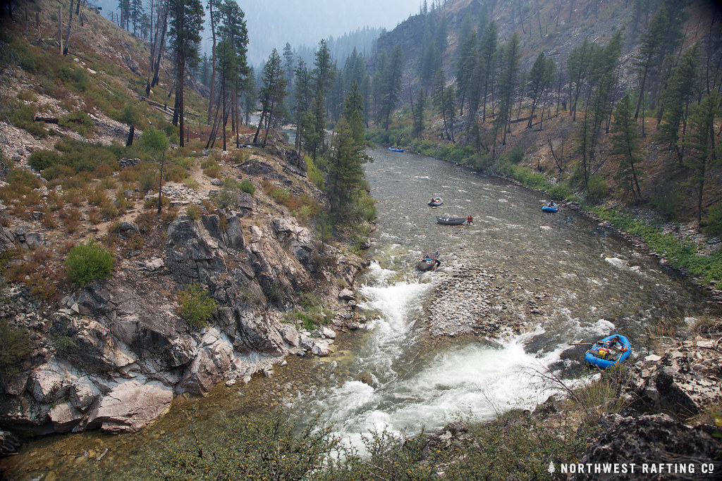 Lake CreekHikingPhoto: Northwest Rafting Company, CC BY 2.0 (via Flickr)4.6 mi
- Kennally Creek Pack TrailHiking4.8 mi
- Forty - Five CreekHiking4.9 mi
- Mule HillHiking5.7 mi
- Pistol CreekCanoeing7.2 mi
Source: Roamze catalog (indexable pages within 10 miles, PostGIS distance)
- Lake CreekHiking · ~8 min drivePhoto: Northwest Rafting Company, CC BY 2.0 (via Flickr)
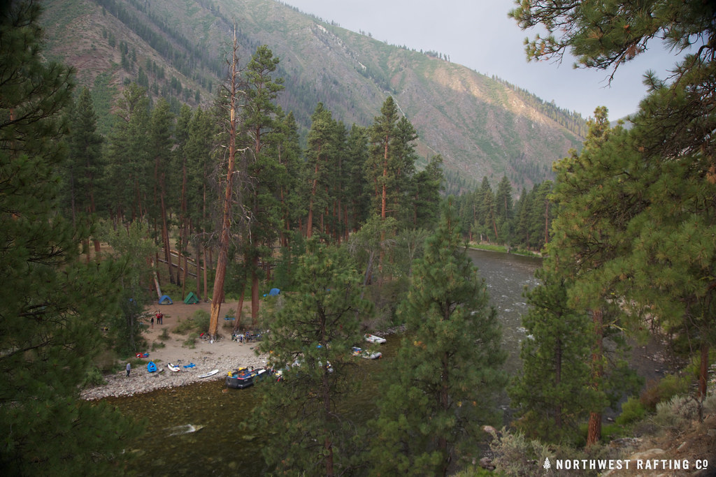 Middle Fork TrailHiking · ~18 min drivePhoto: Northwest Rafting Company, CC BY 2.0 (via Flickr)
- PottervineHiking · ~15 min drive
- West Fork Thomas Creek TrailHiking · ~19 min drive
- Norton LakeHiking · ~18 min drivePhoto: Northwest Rafting Company, CC BY 2.0 (via Flickr)
- Little Soldier LookoutHiking · ~12 min drive
- Middle Fork TrailHiking · ~17 min drive
- Middle Fork EastHiking · ~19 min drivePhoto: Northwest Rafting Company, CC BY 2.0 (via Flickr)
- THUNDER MOUNTAINHiking · ~17 min drive
- Riordan Lake TrailHiking · ~17 min drive

Route details
- Distance
- 1.8 mi round trip
- Climbing
- About 601 ft
- Summit
- 9,707 ft
- Difficulty
- Easy
Season
Season: Year-round.
Questions about this route
How long is the Big Baldy Lo on Big Baldy?
About 1.8 mi round trip.
How much elevation gain is on the Big Baldy Lo?
About 601 ft of climbing round trip.
How hard is the Big Baldy Lo?
It is rated easy.
When is the best time for the Big Baldy Lo?
Year-round.
Conditions and forecast on Big Baldy
Daily highs and lows, wind and the chance of precipitation at the summit and route start for the next 7 days, from the Open-Meteo model.
