Pottervine
- 3.2 mi
- round trip
- 1,691 ft
- climb
- 7,675 ft
- high point
- Out and back
- route
- Jul–Aug
- best months
Is Pottervine open right now?
Alert in the area
The Forest Service lists an alert for Salmon-Challis National Forest.
Stoddard Bridge Construction Closure
Agency alert covering Salmon-Challis National Forest · Order 0413-07-17 · USFS · Salmon-Challis National Forest
As of · Source: USFS · Salmon-Challis National Forest. Agencies don't list every closure — check before you go.
Pottervine is a 3.2-mile out-and-back hike in Idaho's Frank Church-River of No Return Wilderness, within the Middle Fork Ranger District of the Salmon-Challis National Forest. The trail climbs from about 6,000 feet to roughly 7,700 feet, with a total elevation gain of 1,691 feet, and is rated moderate. The Forest Service manages the land, and the route is natural-surfaced and open year-round. Horses are allowed, but bikes are not. That makes it a good fit for a pack trip or a ride on horseback, and the trail's wilderness setting adds to its appeal for those seeking a remote outing. Summer is the most comfortable time to go. Typical averages from a nearby weather station in Stanley, Idaho, put July highs around 80°F with lows near 34°F, and the station sits about 1,400 feet below the trail's high point, so temperatures on the ridge run cooler. Nearby hikes include Little Soldier Lookout, about 2 miles away, and Sheep Creek and Hard Scrabble, both within about 3.5 miles. Kennally Creek Pack Trail is about 4 miles off.
Local outfitters
- The Sawmill Station43 mi away
- Arrowhead RV Park48 mi away
Not on Roamze yet. Their page has how to reach them.
Best time to go · Jul–Aug
Best time to visit Pottervine
Best months: July–August. Best months have typical highs of 55–85 °F, lows of 30 °F or warmer (32 °F where the station doesn't record snow), at most one snowy day and no more than 12 wet days.
Jan
26° / -3°
Feb
33° / -1°
Mar
43° / 9°
Apr
50° / 18°
May
60° / 26°
Jun
69° / 31°
Jul
80° / 34°
Aug
79° / 32°
Sep
70° / 25°
Oct
56° / 19°
Nov
38° / 10°
Dec
25° / -2°
Typical high / low (°F) and days with rain or snow, 1991–2020. Measured at Stanley, ID, 32.8 mi away at 6,249 ft. The station sits about 1,400 ft lower than this place, so expect it a little cooler here. This station doesn't record snowfall. Source: NOAA NCEI U.S. Climate Normals 1991–2020.
Keep exploring — more trails worth the drive
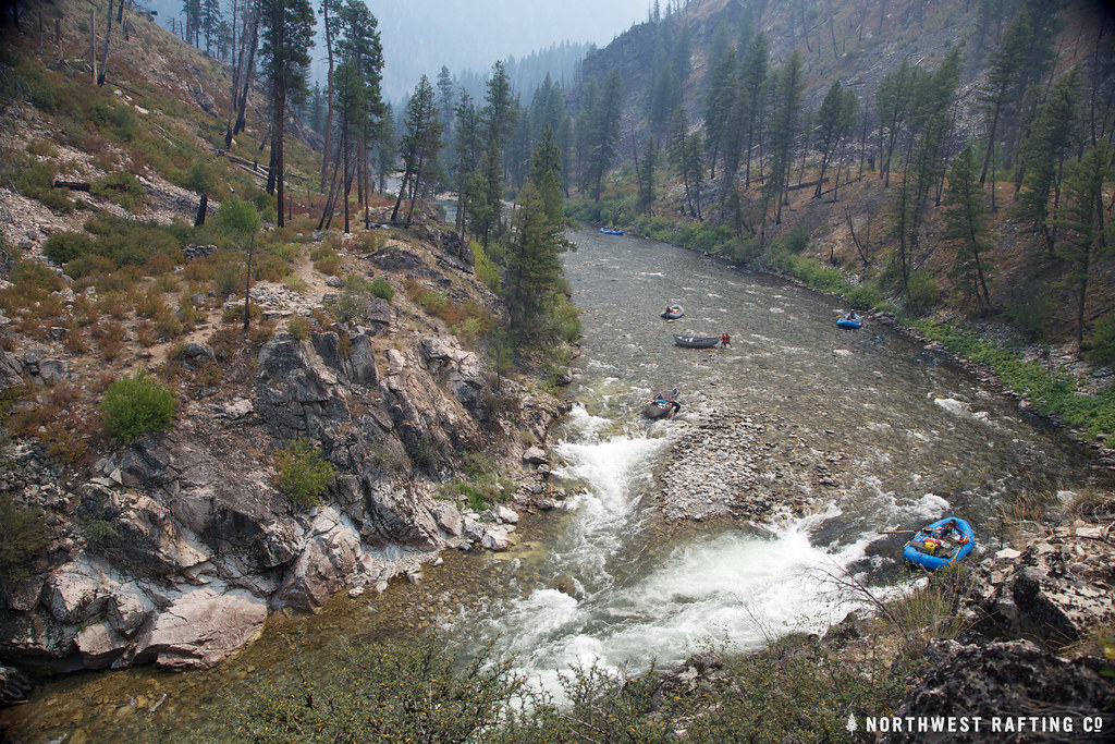 Photo: Northwest Rafting Company, CC BY 2.0 (via Flickr)
Lake Creek
~7 min drive
16.78-mile out-and-back trail in Idaho with 3,270 ft elevation gain.
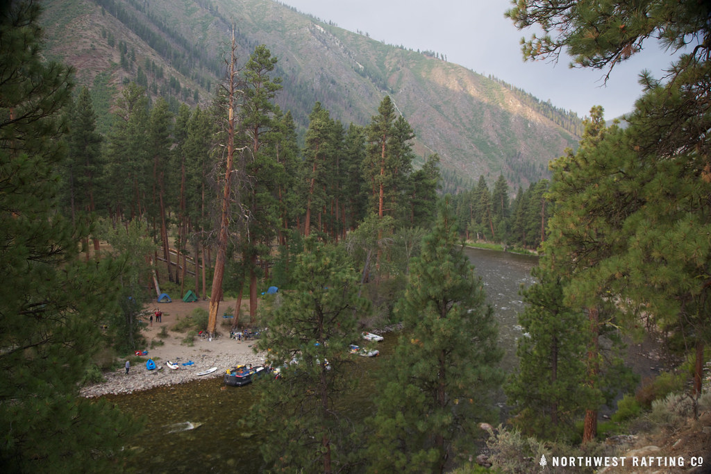 Photo: Northwest Rafting Company, CC BY 2.0 (via Flickr)
Middle Fork Trail
~8 min drive
1.56-mile out-and-back trail in Idaho with 172 ft elevation gain/loss.
HIKE
Sheep Creek
~5 min drive
5.93-mile out-and-back trail in Idaho with 2,122 ft elevation gain.
HIKE
West Fork Thomas Creek Trail
~9 min drive
11-mile out-and-back trail in Idaho with 4,989 ft elevation gain and loss.
Photo: Northwest Rafting Company, CC BY 2.0 (via Flickr)Norton Lake
~8 min drive
38.80-mile out-and-back trail in Idaho with 4,685 ft elevation gain.
HIKE
Little Soldier Lookout
~3 min drive
1.87-mile out-and-back trail to Little Soldier Lookout in Idaho with 715 ft of elevation gain.
HIKE
Middle Fork Trail
~10 min drive
3.64-mile out-and-back trail in Idaho with 1,877 ft elevation gain and loss.
HIKE
Jack Creek Trail
~22 min drive
12.16-mile out-and-back trail in Idaho with 4,956 ft elevation gain and loss.
Photo: Northwest Rafting Company, CC BY 2.0 (via Flickr)Middle Fork East
~9 min drive
24.99-mile out-and-back trail in Idaho with 117 ft of elevation gain.
HIKE
Big Soldier Trail
~20 min drive
1.0-mile out-and-back trail in Idaho with 474 ft gain and 8,924 ft max elevation.
