Mule Hill
- 5.7 mi
- round trip
- 1,981 ft
- climb
- 8,146 ft
- high point
- Out and back
- route
Is Mule Hill open right now?
Alert in the area
The Forest Service lists an alert for Salmon-Challis National Forest.
Stoddard Bridge Construction Closure
Agency alert covering Salmon-Challis National Forest · Order 0413-07-17 · USFS · Salmon-Challis National Forest
As of · Source: USFS · Salmon-Challis National Forest. Agencies don't list every closure — check before you go.
Mule Hill is a 5.7-mile out-and-back hike in Idaho's Frank Church-River of No Return Wilderness, part of the Salmon-Challis National Forest's Middle Fork Ranger District. The trail is managed by the Forest Service and crosses into designated wilderness. The route rises about 2,000 feet from a low point of 6,116 feet to a high point of 8,146 feet, and the climb is rated moderate. Horses are allowed, and the surface is natural. Bikes are not. The trail is open year-round, and the surrounding wilderness and national forest setting makes it a natural choice for a longer outing. For the most comfortable conditions, aim for summer or early fall, when typical averages from a nearby weather station run in the low 70s to low 80s. Winter brings cold and snow, so gear for it is essential. Nearby, Big Chief is about 4.4 miles away, Meadow Creek about 5.4 miles, Big Baldy Lo about 5.7 miles and Thunder Mountain Trail about 6 miles.
Local outfitters
- Black Bear RV Park40 mi away
- Arrowhead RV Park44 mi away
Not on Roamze yet. Their page has how to reach them.
Keep exploring — more trails worth the drive
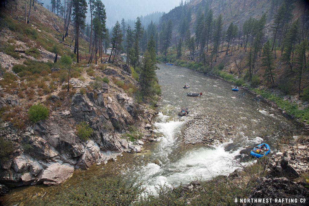 Photo: Northwest Rafting Company, CC BY 2.0 (via Flickr)
Lake Creek
~18 min drive
16.78-mile out-and-back trail in Idaho with 3,270 ft elevation gain.
HIKE
THUNDER MOUNTAIN
~10 min drive
1.84-mile out-and-back trail in Idaho with 389 ft elevation gain and 6,858 ft max elevation.
HIKE
QUARTZ CREEK
~22 min drive
2.3-mile out-and-back trail in Idaho with 1,429 ft elevation gain and loss.
HIKE
Shelrock Ridge Trail
~25 min drive
29.22-mile out-and-back trail in Idaho with 9,742 ft gain/loss.
HIKE
Big Chief
~8 min drive
10.09-mile out-and-back trail in Idaho with 349 ft gain and 2,446 ft loss.
HIKE
RIORDAN LAKE
~16 min drive
2.78-mile out-and-back trail to Riordan Lake in Idaho with 923 ft of elevation gain.
HIKE
Pottervine
~25 min drive
3.16-mile out-and-back trail in Idaho with 1,691 ft elevation gain.
HIKE
Thunder Mountain Trail
~10 min drive
4.58-mile out-and-back trail in Idaho with 2,525 ft elevation gain and loss.
HIKE
Pistol Lake
~18 min drive
1.75-mile out-and-back trail to Pistol Lake in Idaho with 477 ft gain.
HIKE
MEADOW CREEK
~9 min drive
5.02-mile out-and-back trail in Idaho with 2,323 ft elevation gain and loss.
