Middle Fork Trail
- 1.8 mi
- round trip
- 1,877 ft
- climb
- 4,591 ft
- high point
- Out and back
- route
- May–Jun, Aug–Sep
- best months
Is Middle Fork Trail open right now?
Alert in the area
The Forest Service lists an alert for Salmon-Challis National Forest.
Stoddard Bridge Construction Closure
Agency alert covering Salmon-Challis National Forest · Order 0413-07-17 · USFS · Salmon-Challis National Forest
As of · Source: USFS · Salmon-Challis National Forest. Agencies don't list every closure — check before you go.
Middle Fork Trail is a 3.6-mile out-and-back hike in Idaho's Frank Church-River of No Return Wilderness, within the Middle Fork Ranger District of the Salmon-Challis National Forest. The Forest Service manages the land, and the trail's route lies entirely inside designated wilderness. The climb is steady, with a total gain of 1,877 feet over the round trip. The high point reaches 4,591 feet, and the steepest stretch comes at about 1.2 miles in, where the grade reaches 13%. The trail starts at roughly 4,441 feet and ends at about 4,386 feet, so the one-way elevation gain is about 918 feet. Summer is the most comfortable time to go. Typical averages from the nearby Middle Fork Lodge weather station show July highs around 86°F with lows near 48°F, and September highs around 76°F with fewer wet days than the rest of the year. Winter is cold, with January highs near 34°F and lows around 16°F. The hike takes about two hours. Norton Lake and Middle Fork East are both within about 1.7 miles, and West Fork Thomas Creek Trail is a similar distance. Little Loon Creek, a canoeing route, is about 6.9 miles away.
Local outfitters
- The Sawmill Station44 mi away
Not on Roamze yet. Their page has how to reach them.
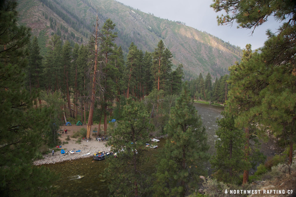 Norton LakeHikingPhoto: Northwest Rafting Company, CC BY 2.0 (via Flickr)1.6 mi
- Middle Fork EastHikingPhoto: Northwest Rafting Company, CC BY 2.0 (via Flickr)1.7 mi
- West Fork Thomas Creek TrailHiking1.7 mi
- East Fork Thomas CreekHiking2.8 mi
- Little LoonHiking3.9 mi
- Little Loon CreekCanoeing6.9 mi
- Marble CreekCanoeing7.6 mi
- Rapid RiverCanoeing9.2 mi
Source: Roamze catalog (indexable pages within 10 miles, PostGIS distance)
- Norton LakeHiking · ~3 min drivePhoto: Northwest Rafting Company, CC BY 2.0 (via Flickr)
- Middle Fork TrailHiking · ~3 min drivePhoto: Northwest Rafting Company, CC BY 2.0 (via Flickr)
- West Fork Thomas Creek TrailHiking · ~3 min drive
- PottervineHiking · ~10 min drive
- Middle Fork EastHiking · ~3 min drivePhoto: Northwest Rafting Company, CC BY 2.0 (via Flickr)
- Little Soldier LookoutHiking · ~8 min drive
- Middle Fork TrailHiking · ~16 min drive
- Sheep CreekHiking · ~12 min drive
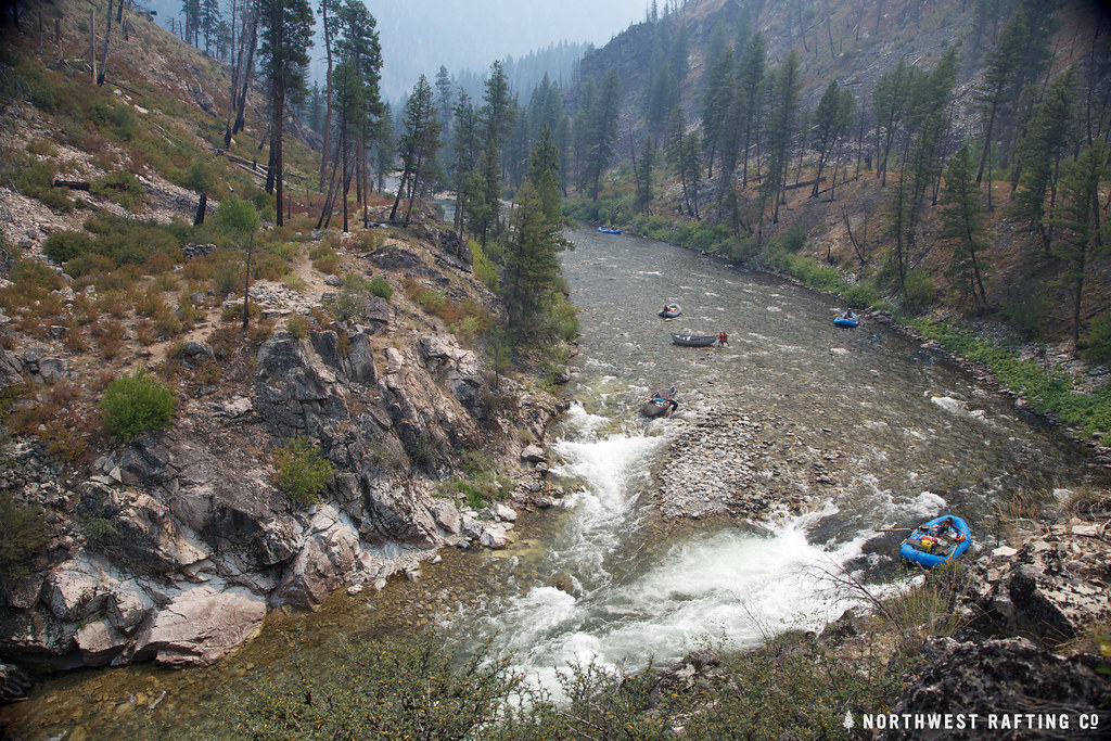 Lake CreekHiking · ~11 min drivePhoto: Northwest Rafting Company, CC BY 2.0 (via Flickr)
- Jack Creek Spur 1Hiking · ~22 min drive
Best time to visit Middle Fork Trail
Best months: May–June and August–September. Best months have typical highs of 55–85 °F, lows of 30 °F or warmer (32 °F where the station doesn't record snow), at most one snowy day and no more than 12 wet days.
Jan
34° / 16°
10 wet
Feb
40° / 18°
8 wet
Mar
50° / 25°
10 wet
Apr
57° / 31°
11 wet
May
67° / 38°
12 wet
Jun
75° / 44°
11 wet
Jul
86° / 48°
6 wet
Aug
85° / 46°
5 wet
Sep
76° / 39°
6 wet
Oct
61° / 31°
8 wet
Nov
43° / 23°
11 wet
Dec
33° / 15°
11 wet
Typical high / low (°F) and days with rain or snow, 1991–2020. Measured at Middle Fork Lodge, ID, 1.8 mi away at 4,480 ft. This station doesn't record snowfall. Source: NOAA NCEI U.S. Climate Normals 1991–2020.
Map and trail data © OpenStreetMap contributors
