FDR-83 Bull Mountain Trail
 Photo: jsnyng, CC BY 2.0 (via Flickr)
- 1.1 mi
- round trip
- 537 ft
- climb
- 1,853 ft
- high point
- Out and back
- route
- Mar–Nov
- best months
Is FDR-83 Bull Mountain Trail open right now?
Closure in the area
There's a closure order in Chattahoochee-Oconee National Forests. It doesn't name FDR-83 Bull Mountain Trail, so check the source for the area it covers (5 listed).
West Cowpen, FS Road 17, Road Maintenance
Agency closure covering Chattahoochee-Oconee National Forests · USFS · Chattahoochee-Oconee National Forests
Bear Creek Road, FS 241, Temporarily Closed
Agency closure covering Chattahoochee-Oconee National Forests · USFS · Chattahoochee-Oconee National Forests
Prescribed fire on Oconee Ranger District at Jasper County
Agency closure covering Chattahoochee-Oconee National Forests · USFS · Chattahoochee-Oconee National Forests
Muskrat Road, FS 218, Temporarily Closed
Agency closure covering Chattahoochee-Oconee National Forests · USFS · Chattahoochee-Oconee National Forests
Flash Flood Awareness
Agency closure covering Chattahoochee-Oconee National Forests · USFS · Chattahoochee-Oconee National Forests
As of · Source: USFS · Chattahoochee-Oconee National Forests. Agencies don't list every closure — check before you go.
FDR-83 Bull Mountain Trail is a 2.28-mile out-and-back hike in Georgia with 537 feet of elevation gain and loss. The trail reaches a maximum elevation of 1,853 feet.
 Jake Mountain TrailHikingPhoto: jsnyng, CC BY 2.0 (via Flickr)0.6 mi
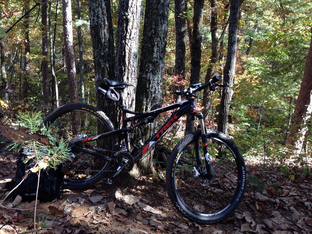 JAKE/BULL CONNECTOR TRAILHikingPhoto: jsnyng, CC BY 2.0 (via Flickr)1.1 mi
- Fdr-872 Jones Creek Dam TrailHikingPhoto: jsnyng, CC BY 2.0 (via Flickr)1.1 mi
 Etowah RiverCanoeingPhoto: Thomson200, CC0 (via Wikimedia Commons)3.2 mi
- Cochran FallsRock climbing4.5 mi
- Amicalola CreekCanoeing8.5 mi
- Frank GrossCamping9.2 mi
 Toccoa RiverCanoeingPhoto: Thomson200, CC0 (via Wikimedia Commons)9.9 mi
Source: Roamze catalog (indexable pages within 10 miles, PostGIS distance)
- Jake Mountain TrailHiking · ~1 min drivePhoto: jsnyng, CC BY 2.0 (via Flickr)
 Appalachian TrailHiking · ~9 min drivePhoto: Thomson20192, Public Domain Dedication (CC0) (via Flickr)
 Creek TrailHiking · ~11 min drivePhoto: Bas van Oorschot, CC BY-SA 3.0 (via Wikimedia Commons)
- JAKE/BULL CONNECTOR TRAILHiking · ~2 min drivePhoto: jsnyng, CC BY 2.0 (via Flickr)
 Hike Inn LodgeHiking · ~10 min drivePhoto: Bas van Oorschot, CC BY-SA 3.0 (via Wikimedia Commons)
- Spring TrailHiking · ~11 min drivePhoto: Bas van Oorschot, CC BY-SA 3.0 (via Wikimedia Commons)
- Moss Creek TrailHiking · ~3 min drive
 Appalachian Approach Trail - GeorgiaHiking · ~11 min drivePhoto: StephenGA, Public Domain Dedication (CC0) (via Flickr)
- FDR-83 Bull Mountain TrailHiking · ~2 min drivePhoto: jsnyng, CC BY 2.0 (via Flickr)
- Black Branch TrailHiking · ~5 min drive
Best time to visit FDR-83 Bull Mountain Trail
Best months: March–November. Best months have typical highs of 55–85 °F, lows of 30 °F or warmer (32 °F where the station doesn't record snow), at most one snowy day and no more than 12 wet days.
Jan
48° / 31°
10 wet · 1 snow
Feb
52° / 34°
9 wet
Mar
60° / 40°
10 wet
Apr
68° / 47°
9 wet
May
75° / 55°
9 wet
Jun
82° / 63°
10 wet
Jul
85° / 67°
11 wet
Aug
84° / 66°
9 wet
Sep
79° / 61°
8 wet
Oct
69° / 50°
8 wet
Nov
59° / 40°
8 wet
Dec
51° / 35°
10 wet
Typical high / low (°F) and days with rain or snow, 1991–2020. Measured at Jasper 1 Nnw, GA, 18.8 mi away at 1,465 ft. Source: NOAA NCEI U.S. Climate Normals 1991–2020.
Closures we've recorded since August 2026
Spring 2026 Forest-wide Fire Restrictions
Chattahoochee-Oconee National Forests · Order dated April 23, 2026; seen Aug 23, 2026 → lifted Oct 13, 2026 · Forest Service

Map and trail data © OpenStreetMap contributors
