Moss Creek Trail
- 3.6 mi
- round trip
- 741 ft
- climb
- 1,780 ft
- high point
- Out and back
- route
- Mar–May, Aug–Nov
- best months
Is Moss Creek Trail open right now?
Closure in the area
There's a closure order in Chattahoochee-Oconee National Forests. It doesn't name Moss Creek Trail, so check the source for the area it covers (4 listed).
Road Maintenance: West Cowpen Road (FSR 17)
Agency closure covering Chattahoochee-Oconee National Forests · USFS · Chattahoochee-Oconee National Forests
Prescribed fire on Oconee Ranger District at Jasper County
Agency closure covering Chattahoochee-Oconee National Forests · USFS · Chattahoochee-Oconee National Forests
Muskrat Road, FS 218, Temporarily Closed
Agency closure covering Chattahoochee-Oconee National Forests · USFS · Chattahoochee-Oconee National Forests
Flash Flood Awareness
Agency closure covering Chattahoochee-Oconee National Forests · USFS · Chattahoochee-Oconee National Forests
Lake Winfield Scott closed except fishing pier
Agency alert covering Chattahoochee-Oconee National Forests · USFS · Chattahoochee-Oconee National Forests
As of · Source: USFS · Chattahoochee-Oconee National Forests. Agencies don't list every closure — check before you go.
Moss Creek Trail is a 3.6-mile out-and-back hike in the Blue Ridge Ranger District of the Chattahoochee-Oconee National Forests in north Georgia, managed by the Forest Service. The trail rises from about 1,560 feet to about 1,780 feet, with a total elevation gain of 741 feet over the course of the round trip. The climb is steepest at the start, with a grade of about 9 percent at the first 0.1 mile. The trail is rated moderate and is open year-round. It is a natural-surface route, and both horses and bikes are allowed. Spring and fall are the most comfortable times to go. Typical averages from a nearby weather station in Blairsville show October highs around 70°F with lows near 43°F, and May highs around 76°F. Summer runs warmer, with July highs near 85°F. Turner Creek Trail and the Nimblewill Branch -C Spur are both about 0.6 miles away. The Etowah River, about 3.5 miles off, offers paddling, and Cochran Falls, a climbing area, is about 5 miles away.
Best time to go · Mar–May, Aug–Nov
Best time to visit Moss Creek Trail
Best months: March–May and August–November. Best months have typical highs of 55–85 °F, lows of 30 °F or warmer (32 °F where the station doesn't record snow), at most one snowy day and no more than 12 wet days.
Jan
49° / 25°
12 wet
Feb
53° / 28°
12 wet
Mar
60° / 34°
12 wet
Apr
69° / 41°
11 wet
May
76° / 50°
12 wet
Jun
82° / 58°
13 wet
Jul
85° / 62°
13 wet
Aug
84° / 61°
12 wet
Sep
80° / 55°
9 wet
Oct
70° / 43°
10 wet
Nov
61° / 33°
10 wet
Dec
52° / 29°
12 wet
Typical high / low (°F) and days with rain or snow, 1991–2020. Measured at Blairsville Exp Stn, GA, 20.9 mi away at 1,949 ft. This station doesn't record snowfall. Source: NOAA NCEI U.S. Climate Normals 1991–2020.
Closures we've recorded since August 2026
Spring 2026 Forest-wide Fire Restrictions
Chattahoochee-Oconee National Forests · Order dated April 23, 2026; seen Aug 23, 2026 → lifted Oct 13, 2026 · Forest Service
Keep exploring — more trails worth the drive
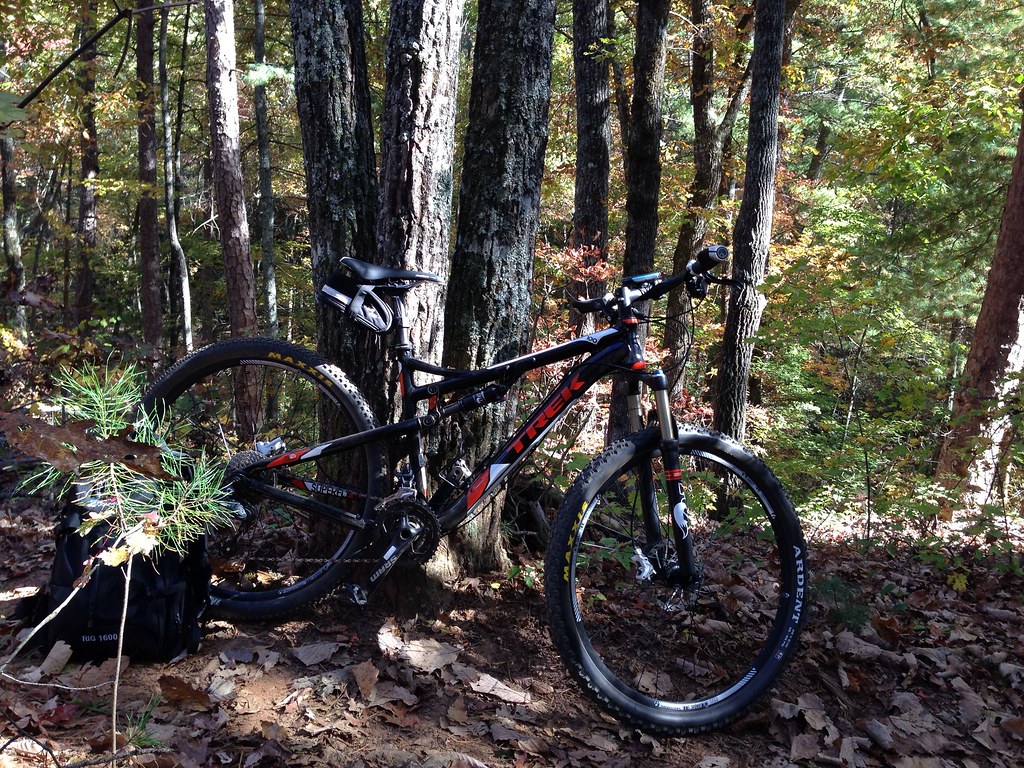 Photo: jsnyng, CC BY 2.0 (via Flickr)
JAKE/BULL CONNECTOR TRAIL
~2 min drive
6.96-mile out-and-back trail in Georgia with 1,309 ft elevation gain
Photo: jsnyng, CC BY 2.0 (via Flickr)Fdr-872 Jones Creek Dam Trail
~2 min drive
6.30-mile out-and-back hike to Jones Creek Dam in Georgia
Photo: jsnyng, CC BY 2.0 (via Flickr)FDR-83 Bull Mountain Trail
~2 min drive
3.08-mile out-and-back trail in Georgia with 698 ft elevation gain
 Photo: Thomson20192, Public Domain Dedication (CC0) (via Flickr)
Appalachian Trail
~8 min drive
120-mile point-to-point section of the iconic Appalachian Trail through Georgia mountains.
HIKE
Turner Creek Trail
Next door
3.62-mile out-and-back hike in Georgia with 547 ft elevation gain.
 Photo: jsnyng, CC BY 2.0 (via Flickr)
Jake Mountain Trail
~3 min drive
4.00-mile out-and-back hike in Georgia with 801 ft gain
 Photo: jsnyng, CC BY 2.0 (via Flickr)
FDR-83 Bull Mountain Trail
~3 min drive
2.28-mile out-and-back hike in Georgia with 537 ft elevation gain and loss.
HIKE
Lance Creek Trail
~3 min drive
5.32-mile out-and-back hike in Georgia with 1,170 ft elevation gain.
 Photo: Bas van Oorschot, CC BY-SA 3.0 (via Wikimedia Commons)
Hike Inn Lodge
~11 min drive
10.96-mile out-and-back hike in Georgia with 1,704 ft gain.
HIKE
Nimblewill Branch -C Spur
Next door
Nimblewill Branch -C Spur is a 1.04-mile out-and-back trail in Georgia with 59 ft of elevation gain.


