Amicalola Creek
- 11.7 mi
- distance
- 1,775 ft
- high point
- Mar–Nov
- best months
Clear today
Weather is good · usgs_nwis, OpenWeather · checked just now
Amicalola Creek is a 12-mile paddling stretch near Dawsonville, Georgia, set within Dawson Forest Wildlife Management Area. The State Department of Natural Resources manages the land along it, and the creek is intermittent, so it may run dry in some seasons. USGS models an average flow of about 113 cubic feet per second and a gradient of about 30.9 feet per mile. Spring and fall are the most comfortable times to paddle. Typical averages from a nearby weather station show May highs around 75°F and October highs near 69°F, with lows around 55°F and 50°F. Summer is hotter, with July highs averaging about 85°F. Several hiking trails sit close by, including Wildcat Creek Trail, Windy Ridge Trail and Turner Trail, each about 1.7 miles away. Cochran Falls, a climbing area, is about 5.5 miles off.
Local outfitters
- Toccoa River Outfitter16 mi away
- Appalachian Outfitters17 mi away
Not on Roamze yet. Their page has how to reach them.
- Wildcat Creek TrailHiking1.7 mi
- Windy Ridge TrailHiking1.7 mi
- Turner TrailHiking1.7 mi
- High Gap White TrailHiking1.9 mi
- High Gap Blue TrailHiking1.9 mi
- High Gap Connector TrailHiking2 mi
- Cochran FallsRock climbing5.5 mi
- Tickanetley CreekCanoeing8.9 mi
Source: Roamze catalog (indexable pages within 10 miles, PostGIS distance)
 Etowah RiverCanoeing · ~19 min drivePhoto: Thomson200, CC0 (via Wikimedia Commons)
- Wimpy Mill ParkBoat launch · ~29 min drive
- Thunder Rock CampgroundFloat trip · ~1h 10m drive
 Talking Rock CreekCanoeing · ~21 min drivePhoto: John Phelan, CC BY 4.0 (via Wikimedia Commons)
- Bolding Mill Boat RampBoat launch · ~37 min drive
 Toccoa RiverCanoeing · ~29 min drivePhoto: Thomson200, CC0 (via Wikimedia Commons)
- Carters Lake Boat RampBoat launch · ~40 min drive
 Salacoa CreekCanoeing · ~43 min drivePhoto: John Phelan, CC BY 4.0 (via Wikimedia Commons)
- Shady Grove Campground Boat LaunchBoat launch · ~43 min drive
 Pine Log CreekCanoeing · ~48 min drivePhoto: John Phelan, CC BY 4.0 (via Wikimedia Commons)
Also worth it near here
 Under the HemlockCamping · ~4 min drivePhoto: anonymouse1, CC BY-SA 3.0 (via Wikimedia Commons)
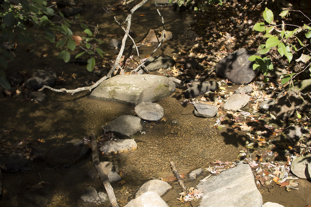 Appalachian Approach Trail - GeorgiaHiking · ~6 min drivePhoto: StephenGA, Public Domain Dedication (CC0) (via Flickr)
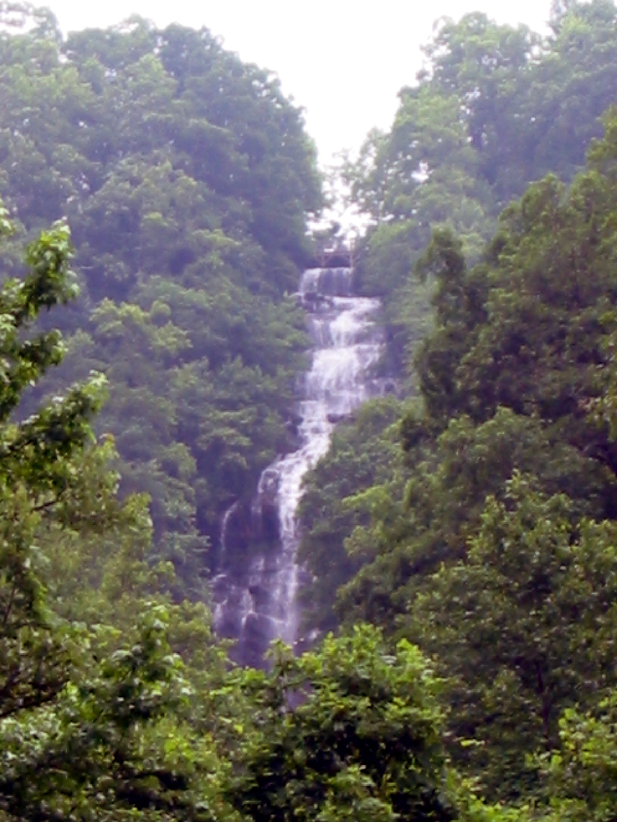 Amicalola FallsWaterfall · ~7 min drivePhoto: Jsfouche, CC BY-SA 3.0 (via Wikimedia Commons)
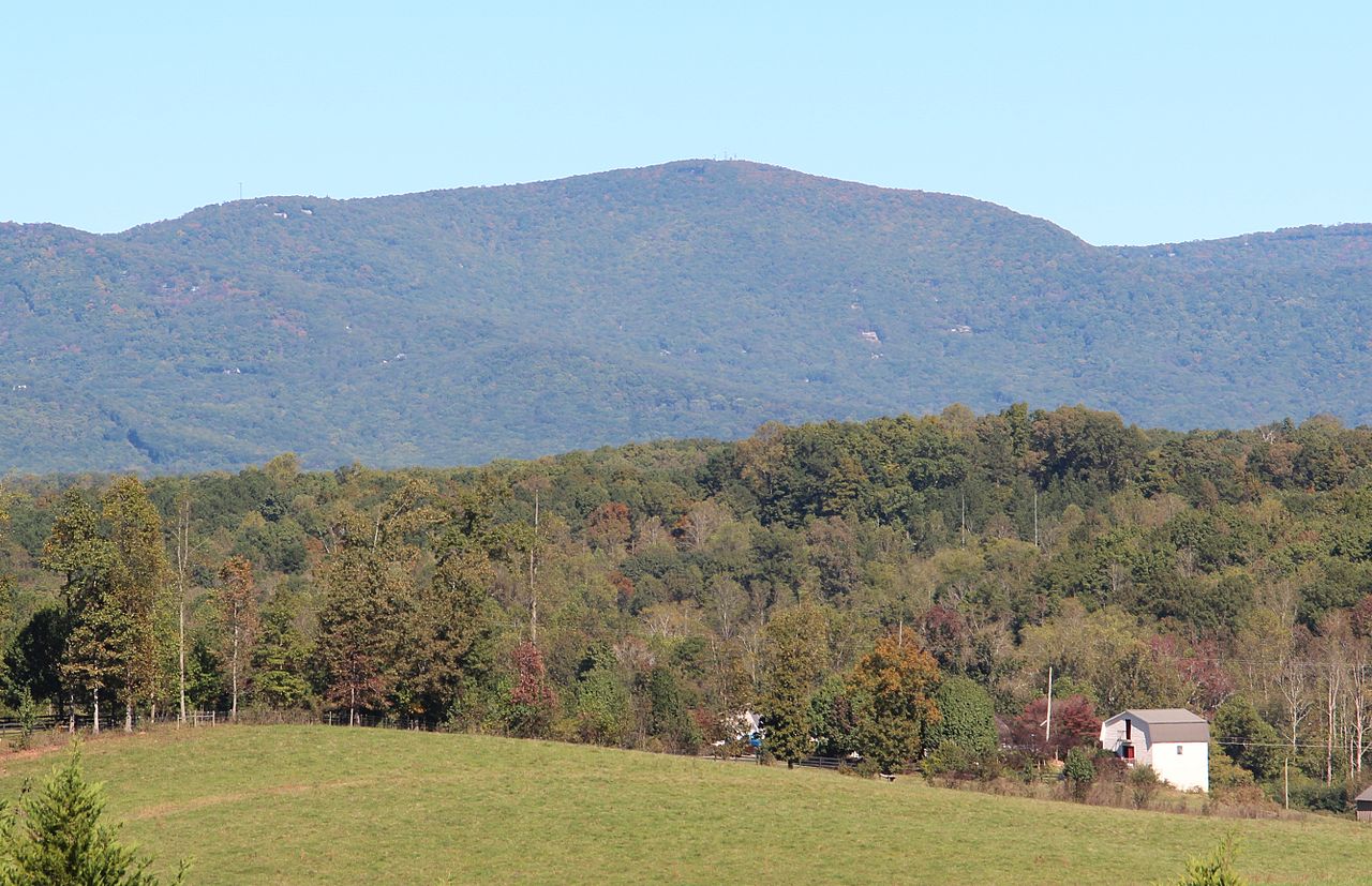 Mount OglethorpeSummit · ~7 min drivePhoto: Thomson200, CC0 (via Wikimedia Commons)
Best time to visit Amicalola Creek
Best months: March–November. Best months have typical highs of 55–85 °F, lows of 30 °F or warmer (32 °F where the station doesn't record snow), at most one snowy day and no more than 12 wet days.
Jan
48° / 31°
10 wet · 1 snow
Feb
52° / 34°
9 wet
Mar
60° / 40°
10 wet
Apr
68° / 47°
9 wet
May
75° / 55°
9 wet
Jun
82° / 63°
10 wet
Jul
85° / 67°
11 wet
Aug
84° / 66°
9 wet
Sep
79° / 61°
8 wet
Oct
69° / 50°
8 wet
Nov
59° / 40°
8 wet
Dec
51° / 35°
10 wet
Typical high / low (°F) and days with rain or snow, 1991–2020. Measured at Jasper 1 Nnw, GA, 10.4 mi away at 1,465 ft. Source: NOAA NCEI U.S. Climate Normals 1991–2020.
