Northwest Loop
 Photo: dddaag, CC BY 2.0 (via Flickr)
- 0.5 mi
- one way
- 159 ft
- climb
- 1,044 ft
- high point
- Point to point
- route
- Apr, Jun–Oct
- best months
Northwest Loop is a short, easy hike in Connecticut, about half a mile long and with a total elevation gain of 159 feet. It is a point-to-point route, and the climb is front-loaded, with the steepest stretch at about 0.15 miles from the start. The high point on the route reaches 1,044 feet, and the nearest town is East Hartland, about 1.7 miles away. The most comfortable months for a visit are typically late spring and early fall. Typical averages from a nearby weather station in Barkhamsted show May highs around 70°F and September highs around 75°F, with July the warmest month at about 84°F. That station sits roughly 334 feet lower than the route's high point, so temperatures on the loop run a little cooler. The hike takes about half an hour, and the surrounding area offers plenty to pair it with. Lost Acres Bouldering and Big Roadside are both climbing areas about 0.6 miles away, and the Main Loop hike is a similar distance. Balance Rock Trail lies about 2.8 miles off.
Best time to go · Apr, Jun–Oct
Best time to visit Northwest Loop
Best months: April and June–October. Best months have typical highs of 55–85 °F, lows of 30 °F or warmer (32 °F where the station doesn't record snow), at most one snowy day and no more than 12 wet days.
Jan
34° / 14°
11 wet
Feb
37° / 15°
9 wet
Mar
46° / 24°
10 wet
Apr
59° / 35°
11 wet
May
70° / 45°
13 wet
Jun
79° / 55°
12 wet
Jul
84° / 60°
12 wet
Aug
82° / 58°
10 wet
Sep
75° / 51°
9 wet
Oct
63° / 40°
11 wet
Nov
50° / 30°
10 wet
Dec
39° / 21°
11 wet
Typical high / low (°F) and days with rain or snow, 1991–2020. Measured at Barkhamsted, CT, 7.3 mi away at 710 ft. This station doesn't record snowfall. Source: NOAA NCEI U.S. Climate Normals 1991–2020.
Keep exploring — more trails worth the drive
Photo: dddaag, CC BY 2.0 (via Flickr)Main Loop
~1 min drive
Main Loop is a 1.17-mile loop in Connecticut with 1,153 feet of elevation gain.
HIKE
Tunxis Trail
~5 min drive
0.37-mile out-and-back hike in Connecticut with 1,201 ft elevation gain.
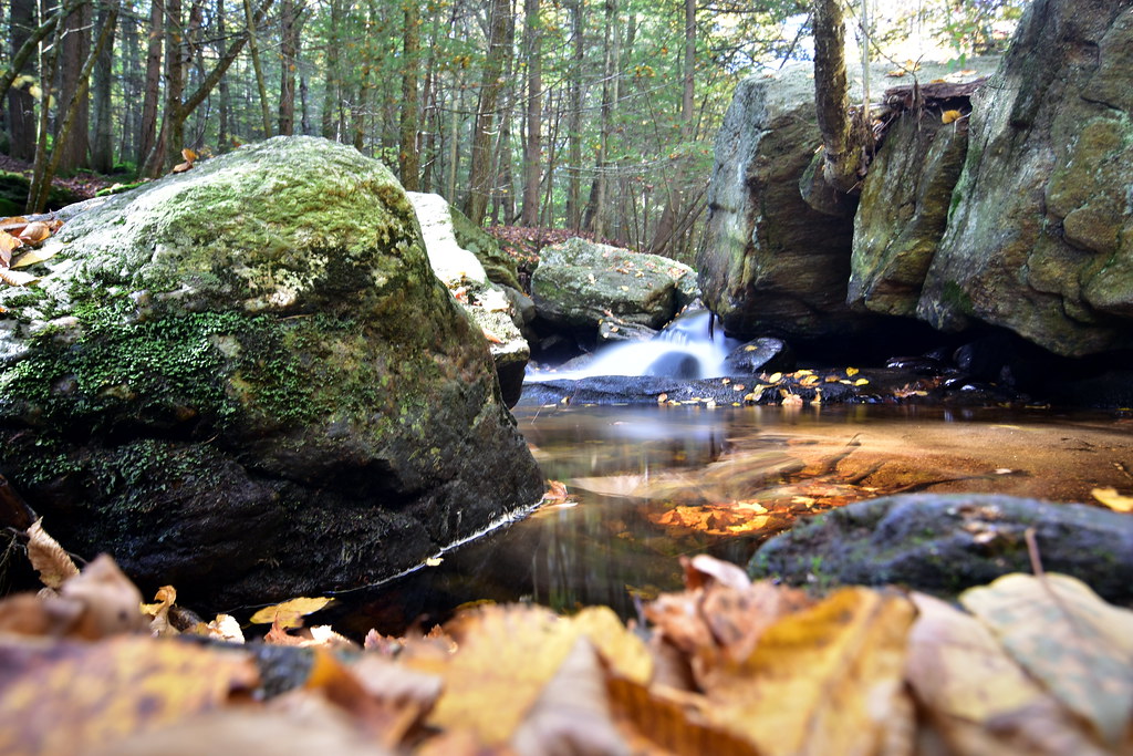 Photo: pedrik, CC BY 2.0 (via Flickr)
Pine Cone Trail
~7 min drive
1.23-mile point-to-point trail in Connecticut with 465 ft gain
 Photo: Magicpiano, CC BY-SA 3.0 (via Wikimedia Commons)
Laurel Loop Trail
~7 min drive
A short point-to-point woodland walk through Connecticut forest.
Photo: Magicpiano, CC BY-SA 3.0 (via Wikimedia Commons)Refuge Trail
~8 min drive
Refuge Trail is a 0.33-mile point-to-point trail in Connecticut with 150 feet of elevation gain.
Photo: Magicpiano, CC BY-SA 3.0 (via Wikimedia Commons)Holcomb Connector Trail
~9 min drive
0.30-mile point-to-point trail in Connecticut with 227 ft gain.
 Photo: dddaag, CC BY 2.0 (via Flickr)
Meadow Trail
~9 min drive
Easy point-to-point meadow walk through Connecticut grasslands.
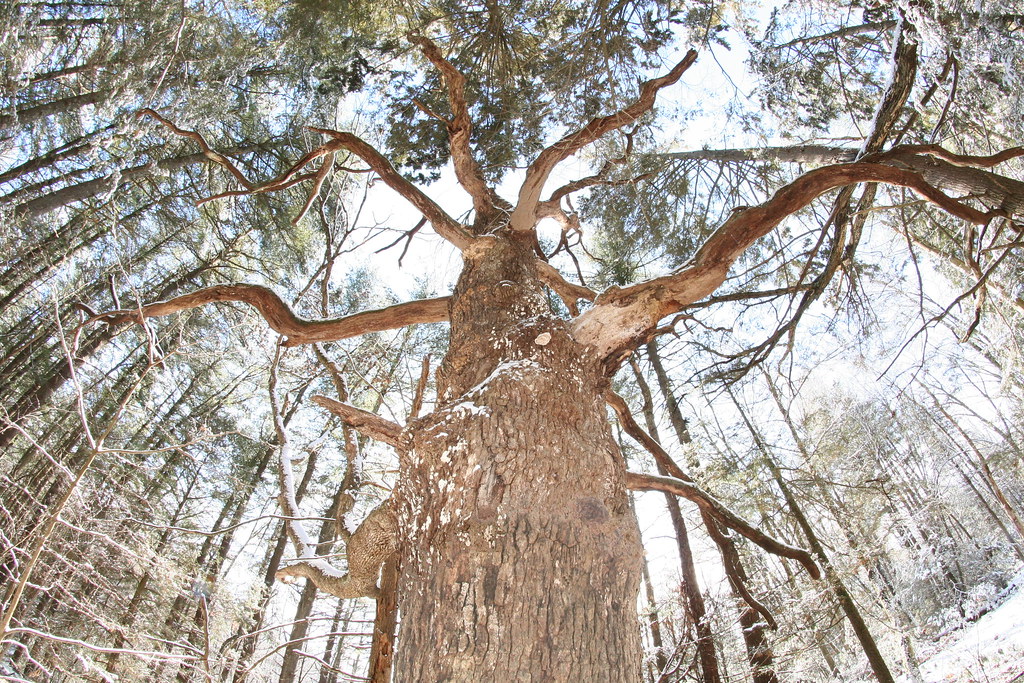 Photo: dddaag, CC BY 2.0 (via Flickr)
Werbitzkas Loop Trail
~9 min drive
0.75-mile point-to-point trail in Connecticut with 194 ft gain.
Photo: dddaag, CC BY 2.0 (via Flickr)Summit Trail
~10 min drive
0.31-mile point-to-point trail in Connecticut with 100 ft gain.
Photo: dddaag, CC BY 2.0 (via Flickr)Creek Trail
~10 min drive
0.32-mile point-to-point trail in Connecticut with 85 ft of elevation gain.
Map and trail data © OpenStreetMap contributors
