Laurel Loop Trail
 Photo: Magicpiano, CC BY-SA 3.0 (via Wikimedia Commons)
- 1.0 mi
- one way
- 63 ft
- climb
- 450 ft
- high point
- Point to point
- route
- Apr, Jun–Oct
- best months
Laurel Loop Trail is a 1-mile loop in Connecticut, about a mile from West Granby. The trail rises from a low point of 377 feet to a high of 450 feet, with a total climb of 63 feet. It is rated easy and takes about half an hour to complete. The route is a loop, and the steepest stretch comes at about half a mile in, with a 9% grade. Horses are allowed, but bikes are not. Late spring and early fall are the most comfortable times to go. Typical averages from the nearby Barkhamsted weather station show May highs around 70°F and September highs around 75°F, with July peaking near 84°F. The Vernal Pool Loop Trail starts about 0.1 mile away, and the Pine Grove Loop Trail and Boundary Trail are each about 0.2 mile off. Climbers can find Diamond Ledge Bouldering roughly 0.8 mile from the trail.
- Vernal Pool Loop TrailHiking0.1 mi
- Pine Grove Loop TrailHiking0.2 mi
- Boundary TrailHiking0.2 mi
- Diamond Ledge BoulderingRock climbing0.8 mi
- Warm up Wall, Frances B. Petersen PreserveRock climbing0.9 mi
- Diamond LedgeRock climbing0.9 mi
- Stony BrookCanoeing6.7 mi
 East Branch Farmington RiverCanoeingPhoto: John Phelan, CC BY 4.0 (via Wikimedia Commons)8.2 mi
Source: Roamze catalog (indexable pages within 10 miles, PostGIS distance)
- Refuge TrailHiking · Next doorPhoto: Magicpiano, CC BY-SA 3.0 (via Wikimedia Commons)
- Holcomb Connector TrailHiking · ~1 min drivePhoto: Magicpiano, CC BY-SA 3.0 (via Wikimedia Commons)
 Meadow TrailHiking · ~1 min drivePhoto: dddaag, CC BY 2.0 (via Flickr)
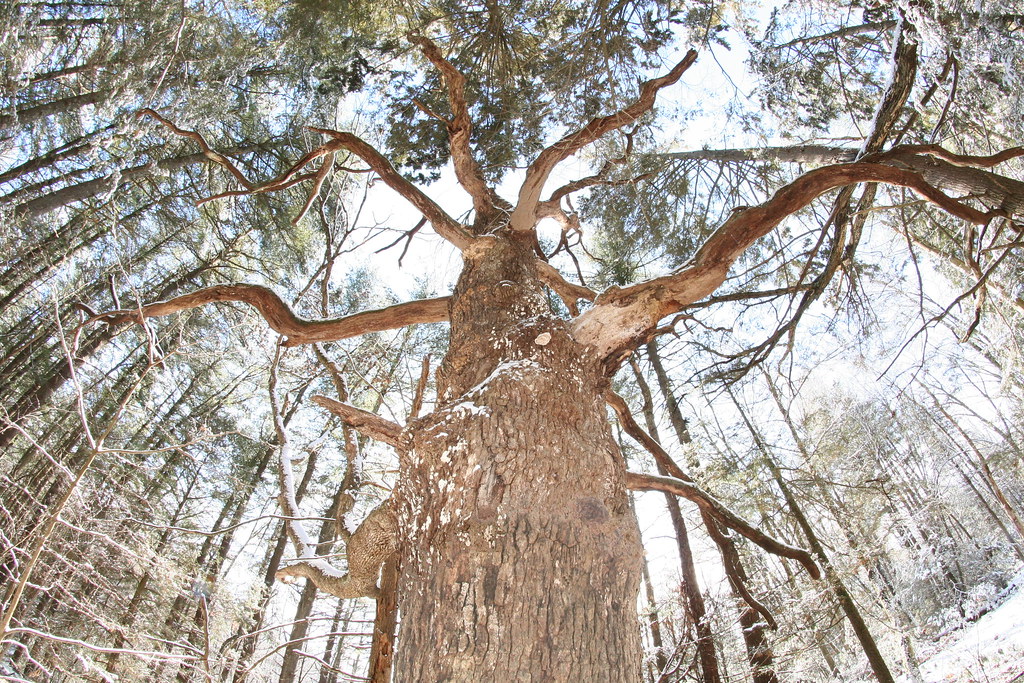 Werbitzkas Loop TrailHiking · ~2 min drivePhoto: dddaag, CC BY 2.0 (via Flickr)
- Summit TrailHiking · ~2 min drivePhoto: dddaag, CC BY 2.0 (via Flickr)
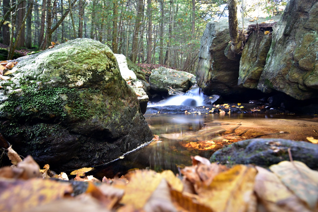 Pine Cone TrailHiking · ~3 min drivePhoto: pedrik, CC BY 2.0 (via Flickr)
- Creek TrailHiking · ~3 min drivePhoto: dddaag, CC BY 2.0 (via Flickr)
- Spring Pond TrailHiking · ~3 min drivePhoto: dddaag, CC BY 2.0 (via Flickr)
- North TrailHiking · ~3 min drivePhoto: dddaag, CC BY 2.0 (via Flickr)
 Eddy TrailHiking · ~4 min drivePhoto: ianml, CC BY-SA 2.0 (via Flickr)
Best time to visit Laurel Loop Trail
Best months: April and June–October. Best months have typical highs of 55–85 °F, lows of 30 °F or warmer (32 °F where the station doesn't record snow), at most one snowy day and no more than 12 wet days.
Jan
34° / 14°
11 wet
Feb
37° / 15°
9 wet
Mar
46° / 24°
10 wet
Apr
59° / 35°
11 wet
May
70° / 45°
13 wet
Jun
79° / 55°
12 wet
Jul
84° / 60°
12 wet
Aug
82° / 58°
10 wet
Sep
75° / 51°
9 wet
Oct
63° / 40°
11 wet
Nov
50° / 30°
10 wet
Dec
39° / 21°
11 wet
Typical high / low (°F) and days with rain or snow, 1991–2020. Measured at Barkhamsted, CT, 7.2 mi away at 710 ft. This station doesn't record snowfall. Source: NOAA NCEI U.S. Climate Normals 1991–2020.
Map and trail data © OpenStreetMap contributors
