Meadow Trail
 Photo: dddaag, CC BY 2.0 (via Flickr)
- 2.0 mi
- one way
- 35 ft
- climb
- 267 ft
- high point
- Point to point
- route
- Apr–Oct
- best months
Clear today
Weather is good · OpenWeather · checked 9 h ago
Meadow Trail is an easy hike in Connecticut, about 2 miles long with a low elevation gain of 35 feet. It is a point-to-point route rather than a loop, and the high point reaches 267 feet. The nearest town is Chatsworth Village, about 1.4 miles away. The trail is short and low-lying, with the steepest stretch at about 1.4 miles in, where the grade reaches 8 percent. Bikes are not allowed, so plan on walking the whole way. Late spring and early fall are the most comfortable times to go. Typical averages from the nearby Hartford Bradley airport weather station show May highs around 72°F and September highs around 76°F, with lows in the 40s and 50s. That station sits at a similar elevation to the trail, so temperatures here run about the same. Several other trails start close by. Holcomb Connector Trail is 0.2 miles away, Refuge Trail is 0.4 miles away and Summit Trail is 0.5 miles away. Climbers can head to Diamond Ledge Bouldering, about 1.4 miles off.
 Holcomb Connector TrailHikingPhoto: Magicpiano, CC BY-SA 3.0 (via Wikimedia Commons)0.2 mi
- Refuge TrailHikingPhoto: Magicpiano, CC BY-SA 3.0 (via Wikimedia Commons)0.4 mi
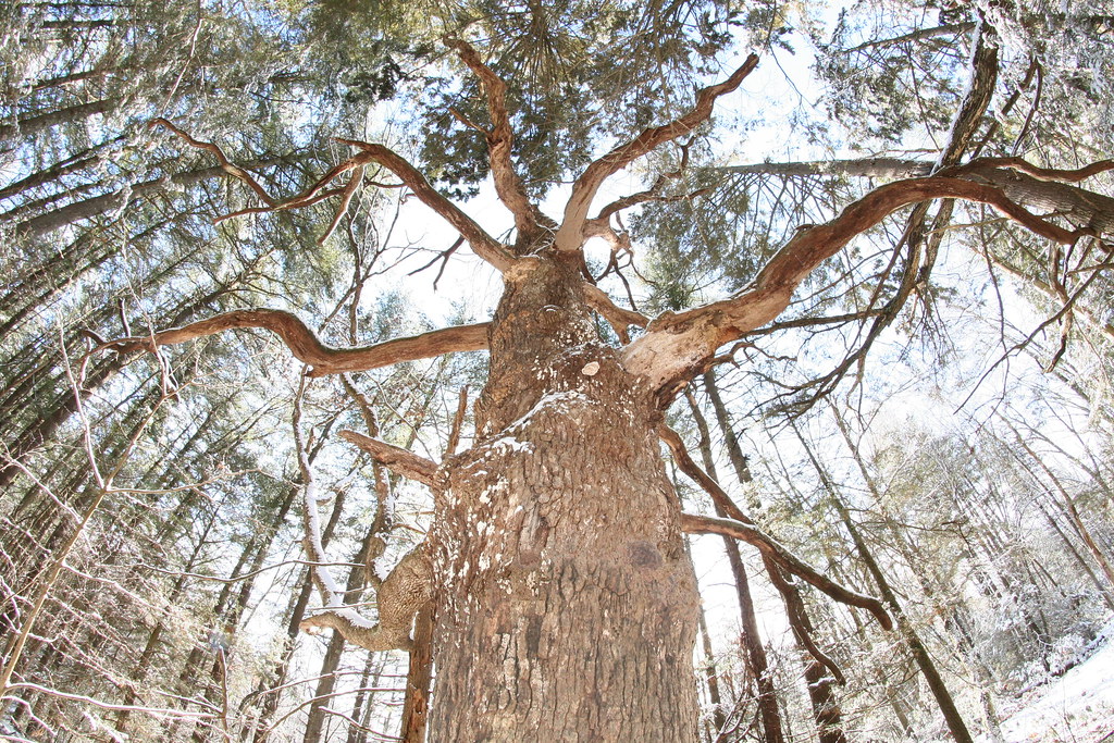 Summit TrailHikingPhoto: dddaag, CC BY 2.0 (via Flickr)0.5 mi
- Firetown RoadRock climbing1.4 mi
- Diamond Ledge BoulderingRock climbing1.4 mi
- Crown JewelRock climbing1.4 mi
- Stony BrookCanoeing6.5 mi
 East Branch Farmington RiverCanoeingPhoto: John Phelan, CC BY 4.0 (via Wikimedia Commons)8.1 mi
Source: Roamze catalog (indexable pages within 10 miles, PostGIS distance)
- Holcomb Connector TrailHiking · Next doorPhoto: Magicpiano, CC BY-SA 3.0 (via Wikimedia Commons)
- Refuge TrailHiking · Next doorPhoto: Magicpiano, CC BY-SA 3.0 (via Wikimedia Commons)
- Summit TrailHiking · Next doorPhoto: dddaag, CC BY 2.0 (via Flickr)
- Werbitzkas Loop TrailHiking · ~1 min drivePhoto: dddaag, CC BY 2.0 (via Flickr)
- Creek TrailHiking · ~1 min drivePhoto: dddaag, CC BY 2.0 (via Flickr)
- Laurel Loop TrailHiking · ~1 min drivePhoto: Magicpiano, CC BY-SA 3.0 (via Wikimedia Commons)
- North TrailHiking · ~2 min drivePhoto: dddaag, CC BY 2.0 (via Flickr)
- Spring Pond TrailHiking · ~2 min drivePhoto: dddaag, CC BY 2.0 (via Flickr)
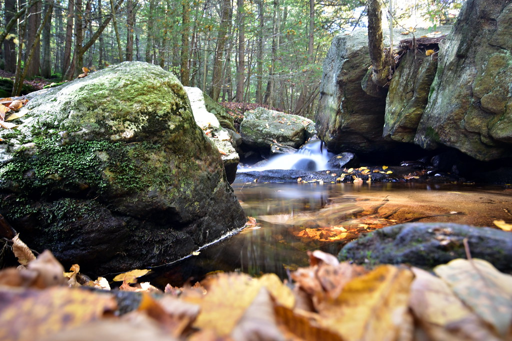 Pine Cone TrailHiking · ~3 min drivePhoto: pedrik, CC BY 2.0 (via Flickr)
 Eddy TrailHiking · ~4 min drivePhoto: ianml, CC BY-SA 2.0 (via Flickr)
Best time to visit Meadow Trail
Best months: April–October. Best months have typical highs of 55–85 °F, lows of 30 °F or warmer (32 °F where the station doesn't record snow), at most one snowy day and no more than 12 wet days.
Jan
35° / 19°
11 wet
Feb
39° / 21°
10 wet
Mar
47° / 28°
11 wet
Apr
60° / 38°
12 wet
May
72° / 48°
12 wet
Jun
80° / 58°
12 wet
Jul
85° / 63°
11 wet
Aug
83° / 62°
10 wet
Sep
76° / 54°
9 wet
Oct
64° / 42°
10 wet
Nov
51° / 33°
10 wet
Dec
41° / 25°
11 wet
Typical high / low (°F) and days with rain or snow, 1991–2020. Measured at Hartford Bradley Intl Ap, CT, 7.2 mi away at 190 ft. This station doesn't record snowfall. Source: NOAA NCEI U.S. Climate Normals 1991–2020.

Map and trail data © OpenStreetMap contributors
