Tunxis Trail
0.37-mile out-and-back hike in Connecticut with 1,201 ft elevation gain.
- 0.4 mi
- round trip
- 1,293 ft
- climb
- 1,133 ft
- high point
- Out and back
- route
Best time to visit Tunxis Trail
Best months: April and June–October. Best months have typical highs of 55–85 °F, lows of 30 °F or warmer (32 °F where the station doesn't record snow), at most one snowy day and no more than 12 wet days.
Jan
34° / 14°
11 wet
Feb
37° / 15°
9 wet
Mar
46° / 24°
10 wet
Apr
59° / 35°
11 wet
May
70° / 45°
13 wet
Jun
79° / 55°
12 wet
Jul
84° / 60°
12 wet
Aug
82° / 58°
10 wet
Sep
75° / 51°
9 wet
Oct
63° / 40°
11 wet
Nov
50° / 30°
10 wet
Dec
39° / 21°
11 wet
Typical high / low (°F) and days with rain or snow, 1991–2020. Measured at Barkhamsted, CT, 5.6 mi away at 710 ft. This station doesn't record snowfall. Source: NOAA NCEI U.S. Climate Normals 1991–2020.
Tunxis Trail is a short, moderate hike in Connecticut, about 1.2 miles from the town of East Hartland. The trail is an out-and-back route of roughly 0.74 miles, with a one-way climb of about 50 feet from a low point of 851 feet to a high of 1,133 feet. The steepest stretch comes early on, around 0.21 miles in, with a grade of about 40 percent. For comfortable weather, aim for late spring or early fall. Typical averages from a nearby weather station in Barkhamsted put May highs around 70°F and September highs around 75°F, with July the warmest month at about 84°F. That station sits roughly 420 feet lower than the trail's high point, so temperatures on the higher ground run cooler. Balance Rock Trail is about half a mile away, and Northwest Loop is about 3 miles off. Climbers can find Lost Acres Bouldering and Big Roadside within about 3 miles.
Keep exploring — more trails worth the drive
 Photo: dddaag, CC BY 2.0 (via Flickr)
Northwest Loop
~5 min drive
0.47-mile point-to-point trail in Connecticut with 128 ft gain.
 Photo: Magicpiano, CC BY-SA 4.0 (via Wikimedia Commons)
Robert Ross Trail
~11 min drive
1.85-mile out-and-back hike in Connecticut with 1,099 ft gain.
Photo: dddaag, CC BY 2.0 (via Flickr)Main Loop
~6 min drive
Main Loop is a 1.17-mile loop in Connecticut with 1,153 feet of elevation gain.
 Photo: Magicpiano, CC BY-SA 4.0 (via Wikimedia Commons)
Elliot Bronson Trail
~11 min drive
Elliot Bronson Trail is a 2.14-mile out-and-back hike in Connecticut.
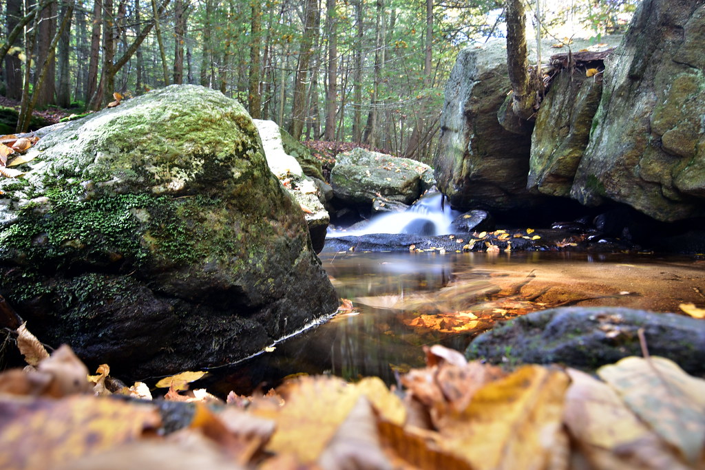 Photo: pedrik, CC BY 2.0 (via Flickr)
Pine Cone Trail
~9 min drive
1.23-mile point-to-point trail in Connecticut with 465 ft gain
Jesse Gerard Trail
~9 min drive
1.64-mile out-and-back trail in Connecticut with 887 ft of elevation gain.
Photo: Magicpiano, CC BY-SA 4.0 (via Wikimedia Commons)Elliott Bronson Trail
~11 min drive
1.93-mile point-to-point trail in Connecticut with 624 ft gain
Peoples Forest Trail
~11 min drive
2.53-mile out-and-back trail in Connecticut with 2,931 ft of elevation gain.
 Photo: Magicpiano, CC BY-SA 3.0 (via Wikimedia Commons)
Laurel Loop Trail
~11 min drive
A short point-to-point woodland walk through Connecticut forest.
Photo: Magicpiano, CC BY-SA 3.0 (via Wikimedia Commons)Refuge Trail
~11 min drive
Refuge Trail is a 0.33-mile point-to-point trail in Connecticut with 150 feet of elevation gain.
