Werbitzkas Loop Trail
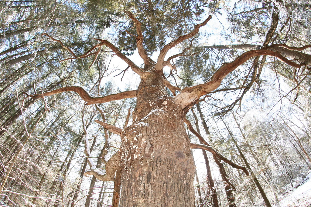 Photo: dddaag, CC BY 2.0 (via Flickr)
- 0.8 mi
- one way
- 36 ft
- climb
- 294 ft
- high point
- Point to point
- route
- Apr–Oct
- best months
Werbitzkas Loop Trail is a 0.75-mile point-to-point trail in Connecticut with 194 feet of elevation gain and 212 feet of elevation loss.
- Nearby · Creek Trail · Summit Trail · Meadow Trail
Best time to go · Apr–Oct
Best time to visit Werbitzkas Loop Trail
Best months: April–October. Best months have typical highs of 55–85 °F, lows of 30 °F or warmer (32 °F where the station doesn't record snow), at most one snowy day and no more than 12 wet days.
Jan
35° / 19°
11 wet
Feb
39° / 21°
10 wet
Mar
47° / 28°
11 wet
Apr
60° / 38°
12 wet
May
72° / 48°
12 wet
Jun
80° / 58°
12 wet
Jul
85° / 63°
11 wet
Aug
83° / 62°
10 wet
Sep
76° / 54°
9 wet
Oct
64° / 42°
10 wet
Nov
51° / 33°
10 wet
Dec
41° / 25°
11 wet
Typical high / low (°F) and days with rain or snow, 1991–2020. Measured at Hartford Bradley Intl Ap, CT, 6.6 mi away at 190 ft. This station doesn't record snowfall. Source: NOAA NCEI U.S. Climate Normals 1991–2020.
Keep exploring — more trails worth the drive
Photo: dddaag, CC BY 2.0 (via Flickr)Creek Trail
Next door
0.32-mile point-to-point trail in Connecticut with 85 ft of elevation gain.
Photo: dddaag, CC BY 2.0 (via Flickr)Summit Trail
~1 min drive
0.31-mile point-to-point trail in Connecticut with 100 ft gain.
 Photo: dddaag, CC BY 2.0 (via Flickr)
Meadow Trail
~1 min drive
Easy point-to-point meadow walk through Connecticut grasslands.
 Photo: Magicpiano, CC BY-SA 3.0 (via Wikimedia Commons)
Holcomb Connector Trail
~1 min drive
0.30-mile point-to-point trail in Connecticut with 227 ft gain.
Photo: dddaag, CC BY 2.0 (via Flickr)North Trail
~2 min drive
North Trail is a 3.54-mile point-to-point trail in Connecticut.
Photo: dddaag, CC BY 2.0 (via Flickr)Spring Pond Trail
~2 min drive
0.42-mile point-to-point trail with 127 ft gain in Connecticut
Photo: Magicpiano, CC BY-SA 3.0 (via Wikimedia Commons)Refuge Trail
~2 min drive
Refuge Trail is a 0.33-mile point-to-point trail in Connecticut with 150 feet of elevation gain.
Photo: Magicpiano, CC BY-SA 3.0 (via Wikimedia Commons)Laurel Loop Trail
~2 min drive
A short point-to-point woodland walk through Connecticut forest.
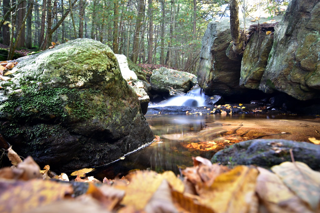 Photo: pedrik, CC BY 2.0 (via Flickr)
Pine Cone Trail
~4 min drive
1.23-mile point-to-point trail in Connecticut with 465 ft gain
 Photo: ianml, CC BY-SA 2.0 (via Flickr)
Eddy Trail
~5 min drive
2.77-mile point-to-point trail in Connecticut with 582 ft gain

Map and trail data © OpenStreetMap contributors
