Holcomb Connector Trail
 Photo: Magicpiano, CC BY-SA 3.0 (via Wikimedia Commons)
- 0.3 mi
- one way
- 202 ft
- climb
- 479 ft
- high point
- Point to point
- route
- Apr, Jun–Oct
- best months
Holcomb Connector Trail is a short, easy hike in Connecticut, about 1.5 miles from West Granby. The trail is 0.3 miles long, with a steady climb of about 200 feet from a starting point near 300 feet to a high of about 480 feet. The steepest stretch comes at about 0.25 miles, with a grade of around 16 percent. The most comfortable months for a visit are typically late spring and early fall. Typical averages from a nearby weather station in Barkhamsted show May highs around 70°F and September highs around 75°F, with July the warmest month at about 84°F. Bikes are not allowed on this trail. Several other short hikes sit close by, including Meadow Trail at 0.2 miles and Refuge Trail at 0.3 miles. Climbers can head to Firetown Road, about 1.2 miles away, and paddlers will find Stony Brook roughly 6.7 miles off.
Best time to go · Apr, Jun–Oct
Best time to visit Holcomb Connector Trail
Best months: April and June–October. Best months have typical highs of 55–85 °F, lows of 30 °F or warmer (32 °F where the station doesn't record snow), at most one snowy day and no more than 12 wet days.
Jan
34° / 14°
11 wet
Feb
37° / 15°
9 wet
Mar
46° / 24°
10 wet
Apr
59° / 35°
11 wet
May
70° / 45°
13 wet
Jun
79° / 55°
12 wet
Jul
84° / 60°
12 wet
Aug
82° / 58°
10 wet
Sep
75° / 51°
9 wet
Oct
63° / 40°
11 wet
Nov
50° / 30°
10 wet
Dec
39° / 21°
11 wet
Typical high / low (°F) and days with rain or snow, 1991–2020. Measured at Barkhamsted, CT, 7.2 mi away at 710 ft. This station doesn't record snowfall. Source: NOAA NCEI U.S. Climate Normals 1991–2020.
Keep exploring — more trails worth the drive
 Photo: dddaag, CC BY 2.0 (via Flickr)
Meadow Trail
Next door
Easy point-to-point meadow walk through Connecticut grasslands.
Photo: Magicpiano, CC BY-SA 3.0 (via Wikimedia Commons)Refuge Trail
Next door
Refuge Trail is a 0.33-mile point-to-point trail in Connecticut with 150 feet of elevation gain.
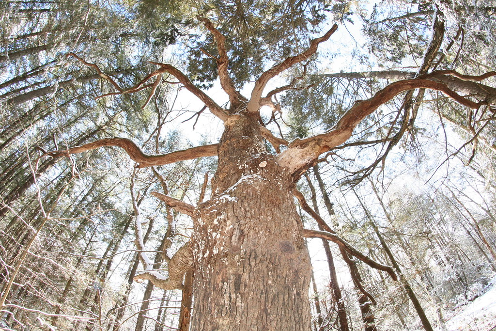 Photo: dddaag, CC BY 2.0 (via Flickr)
Summit Trail
~1 min drive
0.31-mile point-to-point trail in Connecticut with 100 ft gain.
Photo: Magicpiano, CC BY-SA 3.0 (via Wikimedia Commons)Laurel Loop Trail
~1 min drive
A short point-to-point woodland walk through Connecticut forest.
Photo: dddaag, CC BY 2.0 (via Flickr)Werbitzkas Loop Trail
~1 min drive
0.75-mile point-to-point trail in Connecticut with 194 ft gain.
Photo: dddaag, CC BY 2.0 (via Flickr)Creek Trail
~2 min drive
0.32-mile point-to-point trail in Connecticut with 85 ft of elevation gain.
Photo: dddaag, CC BY 2.0 (via Flickr)North Trail
~2 min drive
North Trail is a 3.54-mile point-to-point trail in Connecticut.
Photo: dddaag, CC BY 2.0 (via Flickr)Spring Pond Trail
~2 min drive
0.42-mile point-to-point trail with 127 ft gain in Connecticut
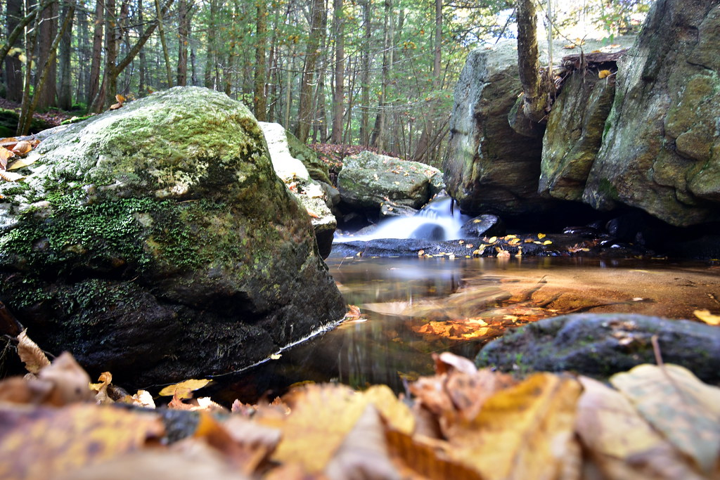 Photo: pedrik, CC BY 2.0 (via Flickr)
Pine Cone Trail
~3 min drive
1.23-mile point-to-point trail in Connecticut with 465 ft gain
 Photo: ianml, CC BY-SA 2.0 (via Flickr)
Eddy Trail
~4 min drive
2.77-mile point-to-point trail in Connecticut with 582 ft gain

Map and trail data © OpenStreetMap contributors
