Designated Campsite
Campground
Campground · 5.0 mi from the trail
 Photo: Pimlico27, CC BY-SA 4.0 (via Wikimedia Commons)
Alert in the area
The Forest Service lists 3 alerts for Arapaho and Roosevelt National Forests.
Fire Restrictions
Agency alert covering Arapaho and Roosevelt National Forests · USFS · Arapaho and Roosevelt National Forests
Slater Lake Area Closure
Agency alert covering Clear Creek Ranger District · Order 02-10-07-26-03 · USFS · Clear Creek Ranger District
Area Closure Surrounding the Devils Nose Target Range
Agency alert covering Clear Creek Ranger District · Order 02-10-07-26-01 · USFS · Clear Creek Ranger District
As of · Source: USFS · Arapaho and Roosevelt National Forests. Agencies don't list every closure — check before you go.
Torreys Peak is a summit in the Clear Creek Ranger District of the Arapaho and Roosevelt National Forests in Colorado, managed by the Forest Service. The nearest town is Montezuma, about 5 miles away. Grays Peak sits just 0.8 miles away, and the Loveland Pass Area offers climbing about 5 miles out. For an overnight base, Guanella Pass Campground and Clear Lake Campground are both about 6 miles from the summit.
Designated Campsite
Campground
 If it rainsUser:Magicpiano, CC BY-SA 4.0 · Wikimedia Commons
Historic house-museum in Georgetown, Colorado, United States
Places © OpenStreetMap contributors, Places © Overture Maps Foundation · Photos: User:Magicpiano, CC BY-SA 4.0 (commons)
More in Idaho SpringsDaily highs and lows, wind and the chance of precipitation at the summit and route start for the next 7 days, from the Open-Meteo model.
Elevation from USGS 3D Elevation Program terrain data (about 10 m resolution).
| Kelso Ridge | Torreys Summit | Torreys Peak | |
|---|---|---|---|
| Starts at | — | — | Grays Peak Trailhead (Stevens Gulch) |
| Climbing | About 800 ft | About 523 ft | About 3,155 ft |
| Round trip | 1.1 mi | 1.7 mi | 7.2 mi |
| Difficulty | Easy | Easy | Expert |
| Terrain | Scramble | Hike | Hike |
| Season | Summer, fall | June 1 – October 31 | — |
Best attempted in dry conditions from July through September; snow and ice make this route extremely dangerous
14,268 ft (4,349 m).
3: Kelso Ridge, Torreys Summit and Torreys Peak.
Kelso Ridge, about 1.1 mi.
Torreys Peak starts at Grays Peak Trailhead (Stevens Gulch) (about 11,254 ft).
Summer, fall.


 Torreys SummitMountain bikingPhoto: Ben Mason from Denver, CC BY 2.0 (via Wikimedia Commons)0.3 miGrays PeakMountain bikingPhoto: Ben Mason from Denver, CC BY 2.0 (via Wikimedia Commons)0.8 mi
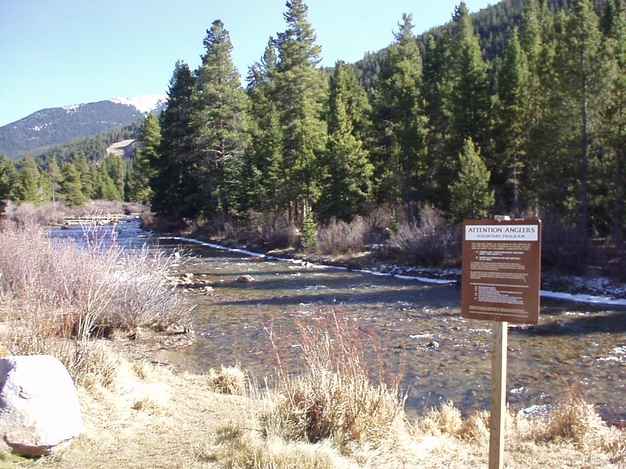 Snake RiverCanoeingPhoto: K.warterbeck, CC BY-SA 3.0 (via Wikimedia Commons)6.1 mi
Source: Roamze catalog (indexable pages within 10 miles, PostGIS distance)
Grizzly PeakSummit · ~3 min drivePhoto: Ben Mason from Denver, CC BY 2.0 (via Wikimedia Commons)Mount EdwardsSummit · ~3 min drivePhoto: Xnatedawgx, CC BY-SA 3.0 (via Wikimedia Commons)Ruby MountainSummit · ~3 min drivePhoto: Robert Tadlock, CC BY 2.0 (via Wikimedia Commons) Cooper MountainSummit · ~4 min drivePhoto: Robert Tadlock from Westminster, CC BY 2.5 (via Wikimedia Commons)
 Mount SniktauSummit · ~5 min drivePhoto: Xnatedawgx, CC BY-SA 3.0 (via Wikimedia Commons)
 Argentine PeakSummit · ~5 min drivePhoto: Jeff Holland from Denver, CC BY-SA 2.0 (via Wikimedia Commons)
 Mount ParnassusSummit · ~9 min drivePhoto: Xnatedawgx, CC BY-SA 3.0 (via Wikimedia Commons)
 Bard PeakSummit · ~9 min drivePhoto: Xnatedawgx, CC BY-SA 3.0 (via Wikimedia Commons)
 Mount BethelSummit · ~10 min drivePhoto: Joanna Lee Osborn, CC BY 2.0 (via Wikimedia Commons)
 Engelmann PeakSummit · ~12 min drivePhoto: Thomson200, CC0 (via Wikimedia Commons)
Also worth it near here
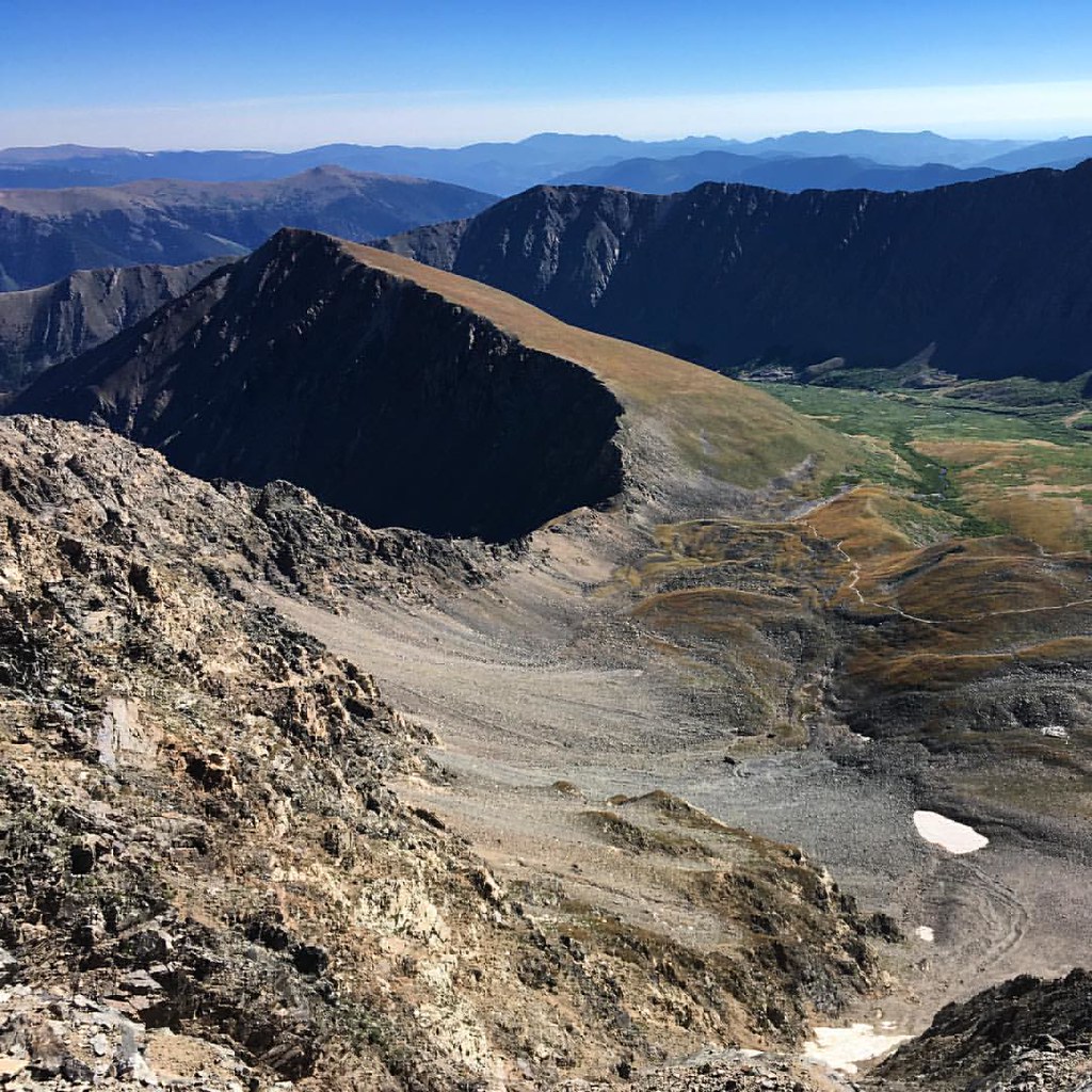 Torreys SummitHiking · ~1 min drivePhoto: gregor_y, CC BY-SA 2.0 (via Flickr)Grays PeakMountain biking · ~1 min drivePhoto: Ben Mason from Denver, CC BY 2.0 (via Wikimedia Commons)
 Arapahoe BasinSki touring · ~5 min drivePhoto: Greg Younger from Fort Collins, USA, CC BY-SA 2.0 (via Wikimedia Commons)
