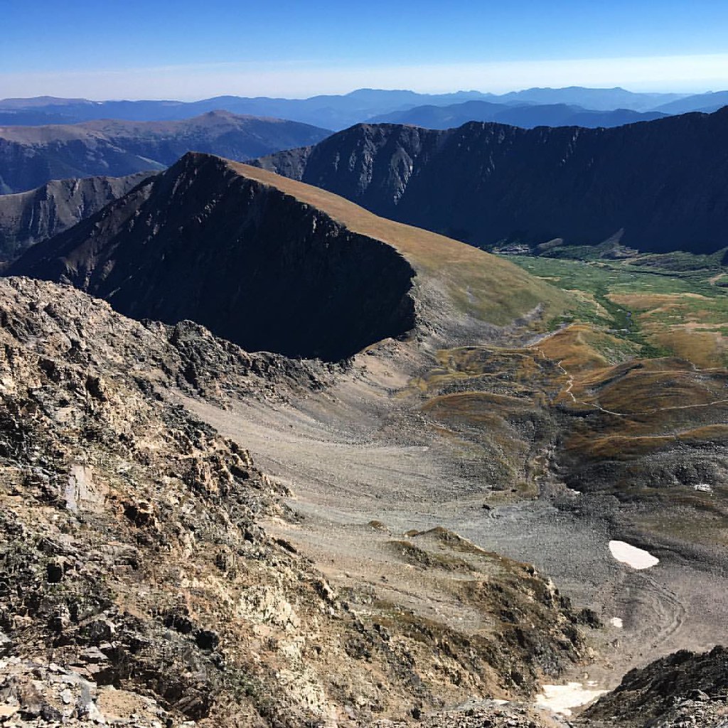
Designated Campsite
Campground
Campground · 4.7 mi from the trail
 Photo: Ben Mason from Denver, CC BY 2.0 (via Wikimedia Commons)
Alert in the area
The Forest Service lists 9 alerts for Arapaho and Roosevelt National Forests.
Fire Restrictions
Agency alert covering Arapaho and Roosevelt National Forests · USFS · Arapaho and Roosevelt National Forests
FSR 286, Radical Hill, is closed due to washouts and unsafe conditions
Agency alert covering White River National Forest · USFS · White River National Forest
Slater Lake Area Closure
Agency alert covering Clear Creek Ranger District · Order 02-10-07-26-03 · USFS · Clear Creek Ranger District
Limited parking at Snowmass Creek Trailhead
Agency alert covering White River National Forest · USFS · White River National Forest
Area Closure Surrounding the Devils Nose Target Range
Agency alert covering Clear Creek Ranger District · Order 02-10-07-26-01 · USFS · Clear Creek Ranger District
As of · Source: USFS · Arapaho and Roosevelt National Forests. Agencies don't list every closure — check before you go.
Torreys Summit is a short mountain biking climb in Colorado's Clear Creek Ranger District, part of the Arapaho and Roosevelt National Forests and the White River National Forest. The Forest Service manages the land, and the route is about 0.8 miles long, with a total elevation gain of 526 feet from a starting point of about 14,180 feet to a high point of 14,268 feet. The climb is a compact, steep stretch. The steepest part comes at about 0.65 miles, with a grade of 38 percent, and the route also includes a small descent of about 600 feet. That makes it a short, punchy ride rather than a long, drawn-out one. Grays Peak sits about 0.8 miles away, and the Grays Peak Trail is about 0.9 miles off. For climbing, the Loveland Pass Area is about 4.8 miles away, and Guanella Pass Campground is about 5.7 miles away.
Designated Campsite
Campground
 If it rainsUser:Magicpiano, CC BY-SA 4.0 · Wikimedia Commons
Historic house-museum in Georgetown, Colorado, United States
Places © OpenStreetMap contributors, Places © Overture Maps Foundation · Photos: User:Magicpiano, CC BY-SA 4.0 (commons)
More in Idaho SpringsNot on Roamze yet. Their page has how to reach them.
Grays PeakMountain bikingPhoto: Ben Mason from Denver, CC BY 2.0 (via Wikimedia Commons)0.8 mi Snake RiverCanoeingPhoto: K.warterbeck, CC BY-SA 3.0 (via Wikimedia Commons)6 mi
 Geneva CreekCanoeingPhoto: Plazak, CC BY-SA 3.0 (via Wikimedia Commons)9.3 mi
Source: Roamze catalog (indexable pages within 10 miles, PostGIS distance)
Grays PeakMountain biking · ~1 min drivePhoto: Ben Mason from Denver, CC BY 2.0 (via Wikimedia Commons)Chihuahua Lake TrailMountain biking · ~2 min drivePhoto: Ben Mason from Denver, CC BY 2.0 (via Wikimedia Commons)Map and trail data © OpenStreetMap contributors