Mizpah Campground
Campground
Campground · 1.4 mi from the trail
Alert in the area
The Forest Service lists 3 alerts for Arapaho and Roosevelt National Forests.
Fire Restrictions
Agency alert covering Arapaho and Roosevelt National Forests · USFS · Arapaho and Roosevelt National Forests
Slater Lake Area Closure
Agency alert covering Clear Creek Ranger District · Order 02-10-07-26-03 · USFS · Clear Creek Ranger District
Area Closure Surrounding the Devils Nose Target Range
Agency alert covering Clear Creek Ranger District · Order 02-10-07-26-01 · USFS · Clear Creek Ranger District
As of · Source: USFS · Arapaho and Roosevelt National Forests. Agencies don't list every closure — check before you go.
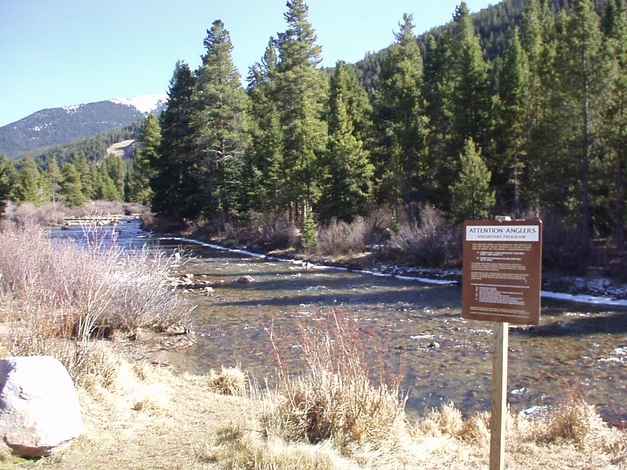
West Fork Clear Creek is a 13-mile paddling stretch near Empire, Colorado, on the Clear Creek Ranger District of the Arapaho and Roosevelt National Forests. The Forest Service manages the land along the creek, and the water flows year-round. USGS models an average flow of about 64 cubic feet per second and a gradient of about 214.5 feet per mile. Summer is the most comfortable time to paddle. Typical averages from a nearby weather station at Cabin Creek show July highs around 69°F with lows near 46°F, though that station sits about 1,000 feet lower than the creek, so temperatures on the water run cooler. September is milder, with highs around 61°F. Climbers will find Beaver Beach and Goat Rock within a mile. Mizpah Campground is about 1.4 miles away, and Vasquez Creek, another paddling option, is roughly 6.8 miles off.
Mizpah Campground
Campground
 If it rainsUser:Magicpiano, CC BY-SA 4.0 · Wikimedia Commons
Historic house-museum in Georgetown, Colorado, United States
Places © OpenStreetMap contributors, Places © Overture Maps Foundation · Photos: User:Magicpiano, CC BY-SA 4.0 (commons)
More in Idaho SpringsNot on Roamze yet. Their page has how to reach them.
 Second CreekHikingPhoto: Apollo⠀, CC BY 2.0 (via Flickr)3.8 mi
Source: Roamze catalog (indexable pages within 10 miles, PostGIS distance)
 Clear CreekCanoeing · ~17 min drivePhoto: Ken Gallager at en.wikipedia, Public domain (via Wikimedia Commons)
 Fraser RiverCanoeing · ~21 min drivePhoto: Jeffrey Beall, CC BY 4.0 (via Wikimedia Commons)
 Snake RiverCanoeing · ~25 min drivePhoto: K.warterbeck, CC BY-SA 3.0 (via Wikimedia Commons)
 Geneva CreekCanoeing · ~29 min drivePhoto: Plazak, CC BY-SA 3.0 (via Wikimedia Commons)
 Williams ForkCanoeing · ~31 min drivePhoto: US Geological Survey, Public domain (via Wikimedia Commons)
Best months: June and September. Best months have typical highs of 55–85 °F, lows of 30 °F or warmer (32 °F where the station doesn't record snow), at most one snowy day and no more than 12 wet days.
Jan
32° / 12°
8 wet
Feb
31° / 11°
8 wet
Mar
38° / 17°
9 wet
Apr
43° / 23°
10 wet
May
53° / 31°
9 wet
Jun
64° / 40°
9 wet
Jul
69° / 46°
13 wet
Aug
67° / 44°
14 wet
Sep
61° / 38°
10 wet
Oct
50° / 29°
7 wet
Nov
39° / 19°
7 wet
Dec
32° / 12°
8 wet
Typical high / low (°F) and days with rain or snow, 1991–2020. Measured at Cabin Creek, CO, 8.4 mi away at 10,020 ft. The station sits about 1,000 ft lower than this place, so expect it a little cooler here. This station doesn't record snowfall. Source: NOAA NCEI U.S. Climate Normals 1991–2020.
US 40: Berthoud Pass closed
closed Sep 22, 2026 → reopened Sep 22, 2026 · State DOT

