
Mountain · 1 route
Grizzly Peak
13,429 ft · Colorado
Photo: Ben Mason from Denver, CC BY 2.0 (via Wikimedia Commons)
- Summit
- 13,429 ft
- Routes
- 1 way up
- Managed by
- Forest Service
Route up Grizzly Peak
About Grizzly Peak
Grizzly Peak is a summit in the Dillon Ranger District of the White River National Forest in Colorado, about 4.4 miles from the town of Montezuma. The Forest Service manages the surrounding land. Several other places sit close by. The Chihuahua Lake Trail and the Argentine North Fork Trail are both about a mile away. The Loveland Pass Area climbing spot is roughly 3.4 miles off, and the Snake River is about 5 miles away.
Forecast on Grizzly Peak
Daily highs and lows, wind and the chance of precipitation at the summit and loveland pass trailhead for the next 7 days, from the Open-Meteo model.
Questions about Grizzly Peak
How tall is Grizzly Peak?
13,429 ft (4,093 m).
How many routes go to the summit of Grizzly Peak?
One: Grizzly Peak.
Where do the routes up Grizzly Peak start?
Grizzly Peak starts at Loveland Pass Trailhead.
Mountains nearby
 Lenawee Mountain13,200 ft · Colorado1 route1.1 mi awayPhoto: Ben Mason from Denver, CC BY 2.0 (via Wikimedia Commons)
 Torreys Peak14,268 ft · Colorado3 routes1.5 mi awayPhoto: Pimlico27, CC BY-SA 4.0 (via Wikimedia Commons)
 Grays Peak14,272 ft · Colorado2 routes1.8 mi awayPhoto: Adam Ginsburg, CC BY-SA 2.5 (via Wikimedia Commons)
 Mount Sniktau13,234 ft · Colorado1 route2.4 mi awayPhoto: Xnatedawgx, CC BY-SA 3.0 (via Wikimedia Commons)
 Ruby Mountain13,277 ft · Colorado1 route2.7 mi awayPhoto: Robert Tadlock, CC BY 2.0 (via Wikimedia Commons)
- Kelso Mountain13,168 ft · Colorado1 route2.8 mi away
Facts about this place
Where it is
- Dillon Ranger District · Ranger district
- White River National Forest · National forest
- Nearest town
- Montezuma, Colorado · 4.4 mi
- Managed by
- Forest Service
Source: USFS EDW boundaries; USGS PAD-US 4.1; USGS GNIS populated places
Conditions
Active alerts for White River National Forest as of Oct 9, 2026:
Holy Cross Wilderness, Prohibitions
information · posted Oct 8, 2026
Helicopter operations planned at Chapman Gulch Trailhead near Basalt Oct. 15 or Oct. 16
information · posted Oct 1, 2026
Xcel Energy Helicopter Maintenance Between Basalt and Leadville Through October 11
information · posted Oct 1, 2026
Crystal River Road east of Marble to be closed weekdays Oct. 5-13
caution · posted Sep 28, 2026
White River National Forest lifting fire restrictions on Friday Sept. 25
fire-restriction · posted Sep 23, 2026
FSR 286, Radical Hill, is closed due to washouts and unsafe conditions
caution · posted Sep 21, 2026
Maroon Creek Road open to vehicles
information · posted Sep 18, 2026
Maroon Bells - Snowmass Wilderness, Camping and other rules
information · posted Sep 17, 2026
Water not available at Lowry, Prospector, Windy Point and Marvine Campgrounds
caution · posted Sep 11, 2026
No water for campers at Ruedi Reservoir Campgrounds; Little Maud and Mollie B closed
information · posted Sep 9, 2026
Source: USFS forest alerts
Nearby
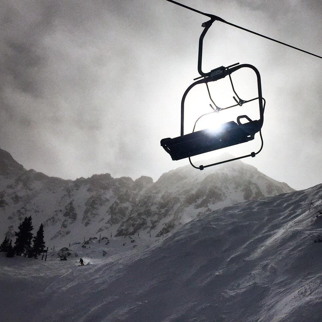
 Chihuahua Lake TrailMountain bikingPhoto: Ben Mason from Denver, CC BY 2.0 (via Wikimedia Commons)1 mi
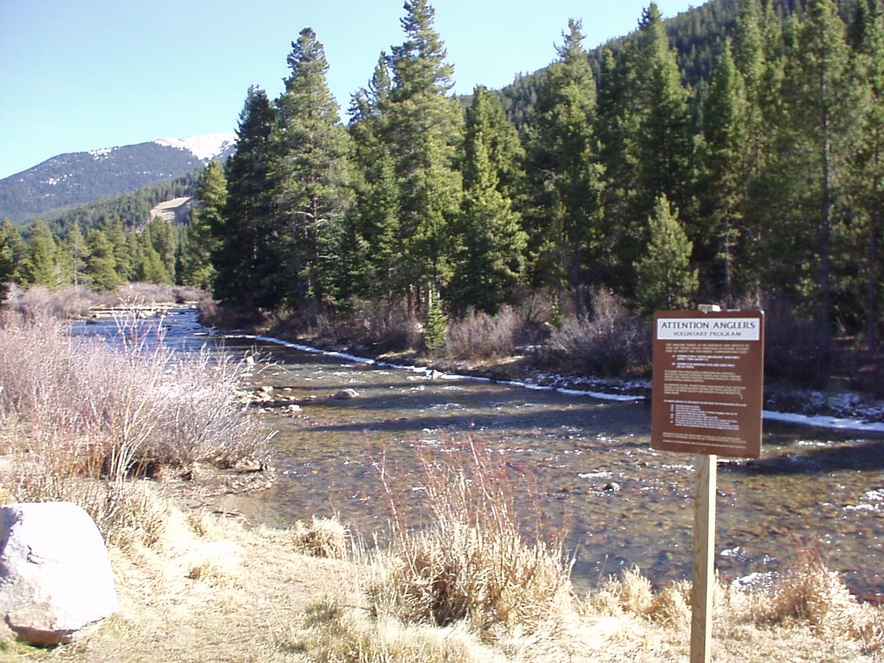
 Argentine North Fork TrailHikingPhoto: cpgmattr, CC BY 2.0 (via Flickr)1 mi
- Loveland Pass AreaRock climbing3.4 mi
- Lost WallRock climbing3.4 mi
 Snake RiverCanoeingPhoto: K.warterbeck, CC BY-SA 3.0 (via Wikimedia Commons)5 mi
- Guanella Pass CampgroundCamping7.3 mi
- Clear Lake CampgroundCamping7.5 mi
- West Fork Clear CreekCanoeing9.5 mi
Source: Roamze catalog (indexable pages within 10 miles, PostGIS distance)
Is Grizzly Peak open right now?
Closure in the area
There's a closure order in White River National Forest. It doesn't name Grizzly Peak, so check the source for the area it covers (2 listed).
Green Mountain Reservoir and Ruedi boat ramps closed for the season
Agency closure covering White River National Forest · USFS · White River National Forest
Eagle-Thomasville (400), Burnt Mtn (506), plus NFSR 414 and 416 openings delayed to June 16
Agency closure covering White River National Forest · USFS · White River National Forest
FSR 314, Crystal River Road, open but be prepared for delays
Agency alert covering White River National Forest · USFS · White River National Forest
FSR 286, Radical Hill, is closed due to washouts and unsafe conditions
Agency alert covering White River National Forest · USFS · White River National Forest
White River National Forest lifting fire restrictions on Friday Sept. 25
Agency alert covering White River National Forest · Order 2026 · USFS · White River National Forest
As of · Source: USFS · White River National Forest. Agencies don't list every closure — check before you go.
