Designated Campsite
Campground
Campground · 4.4 mi from the trail
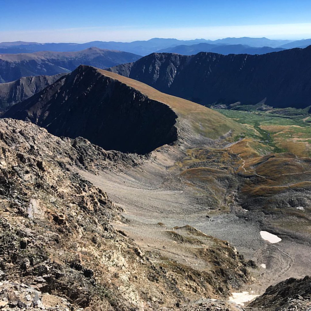 Photo: gregor_y, CC BY-SA 2.0 (via Flickr)
Alert in the area
The Forest Service lists 9 alerts for Arapaho and Roosevelt National Forests.
Fire Restrictions
Agency alert covering Arapaho and Roosevelt National Forests · USFS · Arapaho and Roosevelt National Forests
FSR 286, Radical Hill, is closed due to washouts and unsafe conditions
Agency alert covering White River National Forest · USFS · White River National Forest
Slater Lake Area Closure
Agency alert covering Clear Creek Ranger District · Order 02-10-07-26-03 · USFS · Clear Creek Ranger District
Limited parking at Snowmass Creek Trailhead
Agency alert covering White River National Forest · USFS · White River National Forest
Area Closure Surrounding the Devils Nose Target Range
Agency alert covering Clear Creek Ranger District · Order 02-10-07-26-01 · USFS · Clear Creek Ranger District
As of · Source: USFS · Arapaho and Roosevelt National Forests. Agencies don't list every closure — check before you go.
Torreys Summit is a short out-and-back trail located in Colorado near the town of Colorado. Managed by the White River National Forest's Rifle Ranger District, this 1.7-mile route offers a quick alpine outing for hikers of varying abilities. The trail provides access to Torreys Summit, making it an ideal choice for those seeking a brief mountain experience without requiring a full day commitment. The compact distance makes this hike suitable for families, beginners, or anyone looking to squeeze in a trail during limited daylight hours. As part of the White River National Forest system, the trail benefits from established maintenance and management. The surrounding landscape features typical high country terrain characteristic of Colorado's mountain regions. Before heading out, check current conditions with the Rifle Ranger District, as weather and seasonal factors can impact trail accessibility. Bring adequate water and sun protection, as alpine areas offer limited shade. This trail is best suited for those comfortable with high elevation hiking.
Designated Campsite
Campground
 If it rainsUser:Magicpiano, CC BY-SA 4.0 · Wikimedia Commons
Historic house-museum in Georgetown, Colorado, United States
Places © OpenStreetMap contributors, Places © Overture Maps Foundation · Photos: User:Magicpiano, CC BY-SA 4.0 (commons)
More in Idaho SpringsDaily highs and lows, wind and the chance of precipitation at the summit and route start for the next 7 days, from the Open-Meteo model.
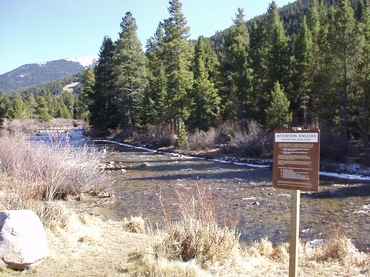 Snake RiverCanoeingPhoto: K.warterbeck, CC BY-SA 3.0 (via Wikimedia Commons)6 mi
 Geneva CreekCanoeingPhoto: Plazak, CC BY-SA 3.0 (via Wikimedia Commons)9 mi
Source: Roamze catalog (indexable pages within 10 miles, PostGIS distance)
 Upper lakes to GraysHiking · ~2 min drivePhoto: QKC, CC BY-SA 3.0 (via Wikimedia Commons)Kelso RidgeHiking · ~2 min drivePhoto: gregor_y, CC BY-SA 2.0 (via Flickr)Argentine PeakHiking · ~3 min drivePhoto: QKC, CC BY-SA 3.0 (via Wikimedia Commons)Mount EdwardsHiking · ~3 min drivePhoto: QKC, CC BY-SA 3.0 (via Wikimedia Commons)
 Climbing TrailHiking · ~5 min drivePhoto: gregor_y, CC BY-SA 2.0 (via Flickr)
 Pass LakeHiking · ~6 min drivePhoto: Kimaz2412, CC BY 2.0 (via Flickr)
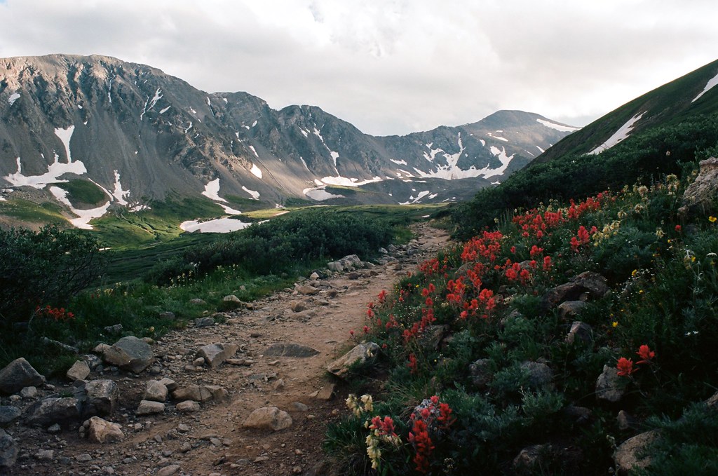 Kelso MountainHiking · ~4 min drivePhoto: MCA / Mike Allyn, CC BY 2.0 (via Flickr)Torreys PeakHiking · ~4 min drivePhoto: MCA / Mike Allyn, CC BY 2.0 (via Flickr)
 Mount SniktauHiking · ~7 min drivePhoto: glennharper, CC BY-SA 2.0 (via Flickr)West Ridge TrailHiking · ~7 min drivePhoto: glennharper, CC BY-SA 2.0 (via Flickr)
About 1.7 mi round trip.
About 523 ft of climbing round trip.
It is rated easy.
2: Torreys Summit and Grays Peak.


