Keystone Area
Campground
Campground · 4.9 mi from the trail
 Photo: Greg Younger from Fort Collins, USA, CC BY-SA 2.0 (via Wikimedia Commons)
Alert in the area
The Forest Service lists 6 alerts for White River National Forest.
FSR 286, Radical Hill, is closed due to washouts and unsafe conditions
Agency alert covering White River National Forest · USFS · White River National Forest
Limited parking at Snowmass Creek Trailhead
Agency alert covering White River National Forest · USFS · White River National Forest
Grizzly Creek Trail Closure
Agency alert covering White River National Forest · Order 2026-02 · USFS · White River National Forest
Ruedi Marina Day Use area Dump Station is CLOSED
Agency alert covering White River National Forest · USFS · White River National Forest
Asbestos safety closure - Camp Hale
Agency alert covering White River National Forest · USFS · White River National Forest
As of · Source: USFS · White River National Forest. Agencies don't list every closure — check before you go.
Arapahoe Basin is a ski touring route in Colorado's White River National Forest, within the Dillon Ranger District. The route runs about 6.9 miles in a loop, and the climb is front-loaded, meaning the steepest stretch comes early on. The high point reaches 13,163 feet, and the total elevation gain is about 3,645 feet. The low point is roughly 10,328 feet, and the loop drops back to nearly the same figure by the end. The steepest part of the route comes at about 1.6 miles, with a grade of about 56 percent. The start sits at roughly 10,785 feet, so the climb begins from there. The route sits in the high country, and the surrounding area offers plenty to pair it with. The Argentine North Fork Trail and the Climbing Trail both lie within a mile. The Loveland Pass Area and Lost Wall climbing areas are about 2 miles away.
Keystone Area
Campground
Sixth Alley Bar
Pub
 If it rainsUser:Magicpiano, CC BY-SA 4.0 · Wikimedia Commons
Historic house-museum in Georgetown, Colorado, United States
Places © OpenStreetMap contributors · Photos: User:Magicpiano, CC BY-SA 4.0 (commons)
More in Idaho SpringsNot on Roamze yet. Their page has how to reach them.
 Photo: David Benbennick took this photo, CC BY-SA 3.0 (via Wikimedia Commons)
Arapahoe Basin
~2 min drive
Arapahoe Basin has 9 lifts and 109 runs in Colorado, ranging from easy to extreme difficulty.
 Photo: Hustvedt, CC BY-SA 3.0 (via Wikimedia Commons)
Hanimal'S Trail
~19 min drive
0.46-mile trail in Colorado with 51 ft of elevation gain.
 Photo: xpda, CC BY-SA 4.0 (via Wikimedia Commons)
Pegasus
~19 min drive
Pegasus is a 0.54-mile route in Colorado with 12 feet of elevation gain.
Photo: xpda, CC BY-SA 4.0 (via Wikimedia Commons)Prize Box
~19 min drive
0.87-mile cross-country ski trail in Colorado with 54 ft of elevation gain.
 Photo: QKC, CC BY-SA 3.0 (via Wikimedia Commons)
Humbug Hill Road
~20 min drive
Humbug Hill Road is a 0.78-mile route in Colorado with 129 feet of elevation gain.
SEE
Loveland Valley Ski Area
~5 min drive
Loveland Valley Ski Area in Colorado has 4 lifts and 7 runs.
 Photo: Trevor Brown trevormbrown7, CC0 (via Wikimedia Commons)
Balfonz Blitz
~19 min drive
0.52-mile ski route in Colorado with 36 ft of elevation gain.
Photo: Hustvedt, CC BY-SA 3.0 (via Wikimedia Commons)Crown Point Road
~19 min drive
1.94-mile cross-country ski trail in Colorado with 260 ft of elevation gain.
 Photo: Juan Ortega, CC BY 3.0 (via Wikimedia Commons)
Buffalo Flats
~19 min drive
0.42-mile ski trail in Colorado with 35 ft of elevation gain.
Photo: QKC, CC BY-SA 3.0 (via Wikimedia Commons)Forest Queen Road
~20 min drive
1.06-mile route in Colorado with 525 ft of elevation gain.
Also worth it near here
 Photo: Craig Talbert, CC BY 2.0 (via Wikimedia Commons)
Snake River Falls
Next door
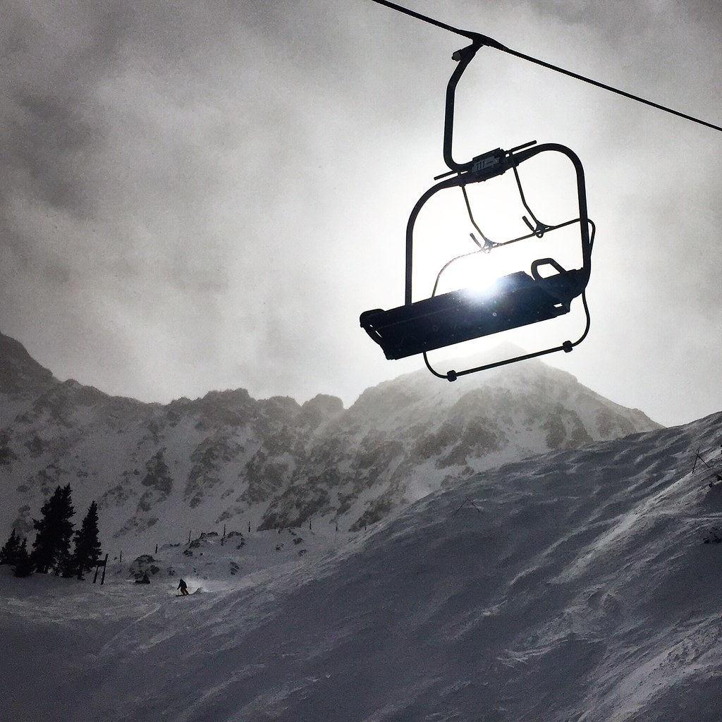 Photo: cpgmattr, CC BY 2.0 (via Flickr)
Argentine North Fork Trail
Next door
 Photo: Ben Mason from Denver, CC BY 2.0 (via Wikimedia Commons)
Lenawee Mountain
~2 min drive
CLIMB
Loveland Pass Area
~3 min drive
 Photo: Ben Mason from Denver, CC BY 2.0 (via Wikimedia Commons)
Chihuahua Lake Trail
~4 min drive
Map and trail data © OpenStreetMap contributors
