

Lostfork Basecamp
Hiking business nearby (~15 mi away) — hasn't claimed their Roamze page yet
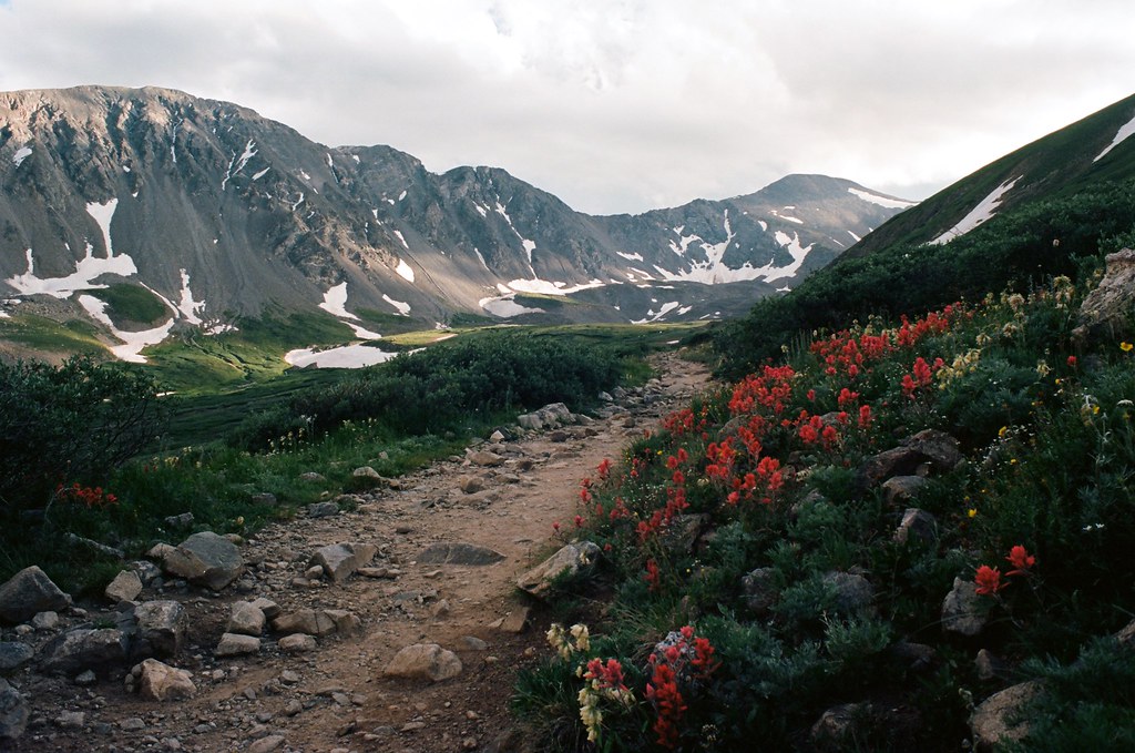
Colorado
No account needed. We'll keep it on this device.
7.2 mi
Distance
3,155 ft
Gain
We won't guess. Here is exactly what we do and don't know.
What we do know
Inside Arapaho and Roosevelt National Forests
2 managing-area boundaries mapped — agency alerts for them feed this page automatically.
Boundary data
What's missing
No access route mapped
We don't yet know which road reaches this trailhead, so we can't tell you if it's gated.
Nobody's filed a report here yet — be the first.
Why you'll love it
Torreys Peak
Suggested plan · check conditions before you go
Want dates, gear and meals worked out too?
Programmatic route to the summit of Torreys Peak (14,267 ft) from Grays Peak Trailhead (Stevens Gulch). Round-trip distance 7.22 mi with 3,155 ft of ascent. Generated via OpenStreetMap trails + OpenRouteService foot-hiking routing.
Source: Roamze elevation profile and trail geometry (DEM samples along the mapped route)
Active alerts for Clear Creek Ranger District as of Oct 9, 2026:
caution · posted Sep 18, 2026
Area Closure Surrounding the Devils Nose Target Range
caution · posted Aug 24, 2026
Source: USFS forest alerts
Source: Roamze catalog (indexable pages within 10 miles, PostGIS distance)
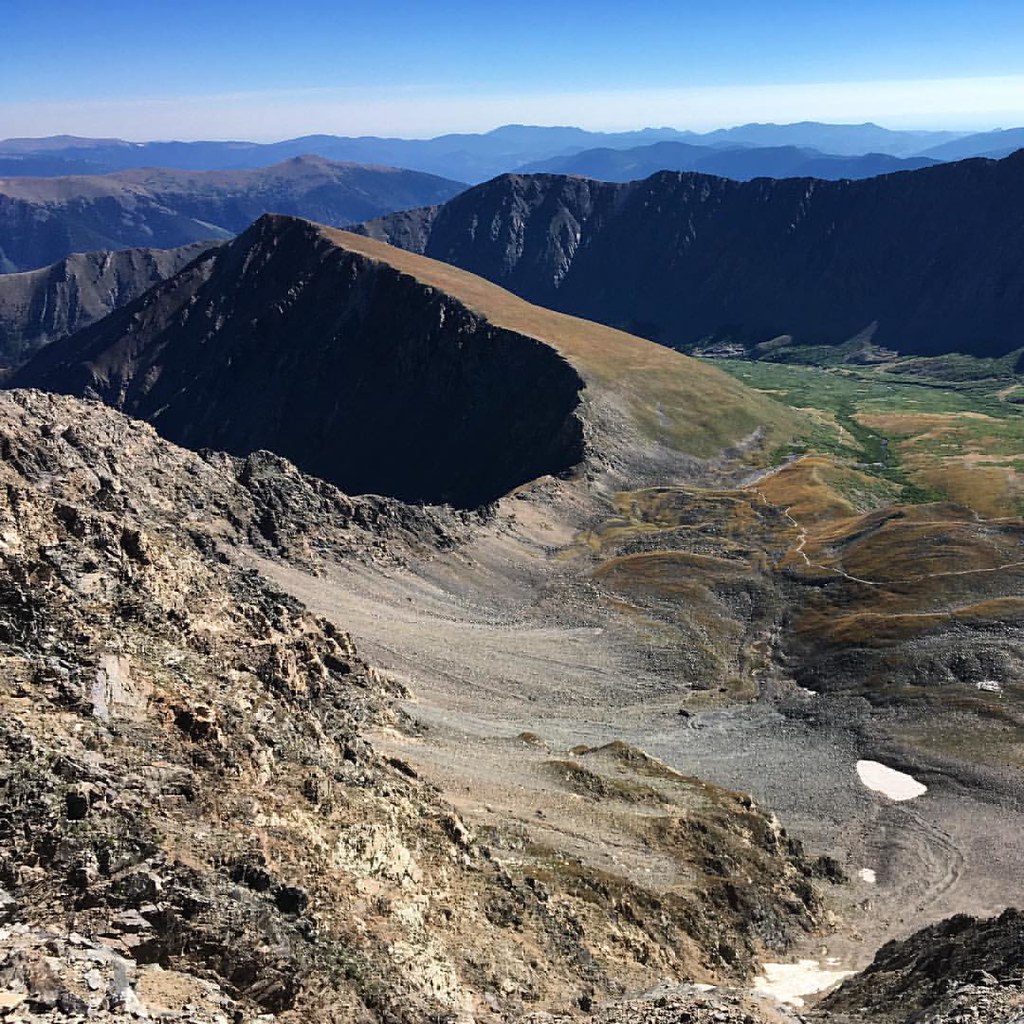 Photo: gregor_y, CC BY-SA 2.0 (via Flickr)
Kelso Ridge
~3 min drive
1.06-mile trail in Colorado with 800 ft elevation gain.
 Photo: QKC, CC BY-SA 3.0 (via Wikimedia Commons)
Upper lakes to Grays
~4 min drive
1.38-mile out-and-back from Upper lakes to Grays in Colorado
Photo: gregor_y, CC BY-SA 2.0 (via Flickr)Torreys Summit
~4 min drive
1.7 mi · Easy
 Photo: roland, CC BY 2.0 (via Flickr)
Kearney Gulch
~5 min drive
3.49-mile out-and-back trail in Colorado with 1,232 ft gain.
Photo: QKC, CC BY-SA 3.0 (via Wikimedia Commons)Mount Edwards
~6 min drive
Route to the summit of Mount Edwards (13,839 ft) from Argentine Pass Trailhead.
 Photo: kalestews, CC BY 2.0 (via Flickr)
Silver Dollar Lake
~8 min drive
4.16-mile out-and-back to Silver Dollar Lake in Colorado at 12,199 ft.
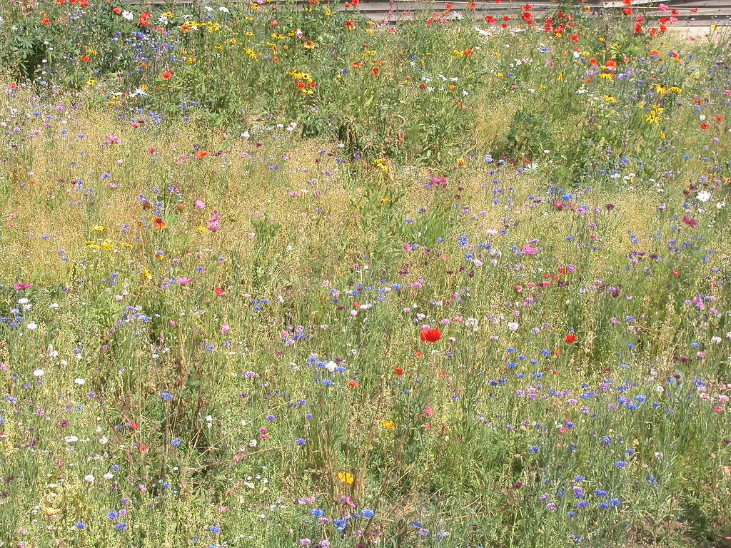 Photo: davidwilson1949, CC BY 2.0 (via Flickr)
7:30 Mine Trail
~7 min drive
7:30 Mine Trail is a 1.94-mile route in Colorado with 600 feet of elevation gain.
 Photo: kalestews, CC BY 2.0 (via Flickr)
Bard Creek
~8 min drive
19.29-mile out-and-back trail in Colorado with 774 ft elevation gain.
Sullivan Mountain
~9 min drive
Route to the summit of Sullivan Mountain (13,120 ft) from Chihuahua Lake 2WD Trailhead.
Photo: kalestews, CC BY 2.0 (via Flickr)Watrous Gulch
~7 min drive
4.26-mile out-and-back trail in Colorado with 1,611 ft elevation gain.
© openrouteservice.org by HeiGIT | Map data © OpenStreetMap contributors
Local operatorsoffering guided trips. You book directly with them — Roamze doesn’t take a cut.
Lostfork Basecamp
Hiking business nearby (~15 mi away) — hasn't claimed their Roamze page yet
Camp Always Choose Adventures
Hiking business nearby (~15 mi away) — hasn't claimed their Roamze page yet
Rancho Del Rio
Hiking business nearby (~47 mi away) — hasn't claimed their Roamze page yet
