Keystone Area
Campground
Campground · 7.3 mi from the trail
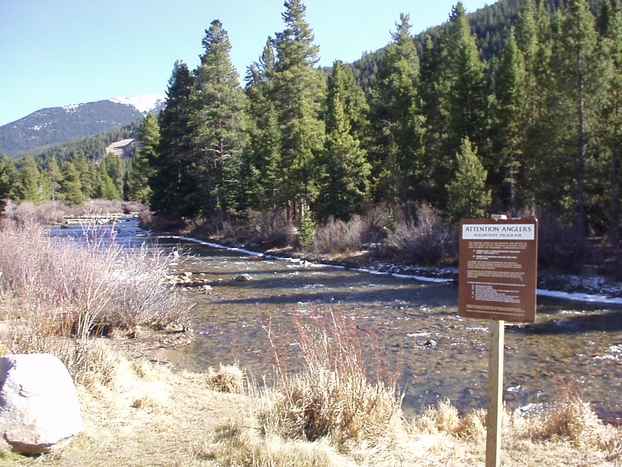
 Photo: Xnatedawgx, CC BY-SA 3.0 (via Wikimedia Commons)
Alert in the area
The Forest Service lists 3 alerts for Arapaho and Roosevelt National Forests.
Fire Restrictions
Agency alert covering Arapaho and Roosevelt National Forests · USFS · Arapaho and Roosevelt National Forests
Slater Lake Area Closure
Agency alert covering Clear Creek Ranger District · Order 02-10-07-26-03 · USFS · Clear Creek Ranger District
Area Closure Surrounding the Devils Nose Target Range
Agency alert covering Clear Creek Ranger District · Order 02-10-07-26-01 · USFS · Clear Creek Ranger District
As of · Source: USFS · Arapaho and Roosevelt National Forests. Agencies don't list every closure — check before you go.
Mount Sniktau is a summit of about 13,234 feet in Clear Creek County, Colorado, within the Clear Creek Ranger District of the Arapaho and Roosevelt National Forests. The Forest Service manages the land, and the nearest town is Keystone, about 6 miles away. A summit route leads to the top, and the peak sits in a cluster of trails and climbing areas. West Ridge Trail and Cupid are both about 1.5 miles away. The Loveland Pass Area climbing area is about 4.5 miles off, and Mizpah Campground is about 7.5 miles away.
Keystone Area
Campground
Two Bears Tap and Grill
Bar and grill restaurant
 If it rainsUser:Magicpiano, CC BY-SA 4.0 · Wikimedia Commons
Historic house-museum in Georgetown, Colorado, United States
Places © OpenStreetMap contributors, Places © Overture Maps Foundation · Photos: User:Magicpiano, CC BY-SA 4.0 (commons)
More in Idaho SpringsDaily highs and lows, wind and the chance of precipitation at the summit and loveland pass trailhead for the next 7 days, from the Open-Meteo model.
Elevation from USGS 3D Elevation Program terrain data (about 10 m resolution).
13,234 ft (4,034 m).
One: Mount Sniktau.
Mount Sniktau starts at Loveland Pass Trailhead.


 West Ridge TrailHikingPhoto: glennharper, CC BY-SA 2.0 (via Flickr)1.5 miCupidHikingPhoto: glennharper, CC BY-SA 2.0 (via Flickr)1.5 mi
 Snake RiverCanoeingPhoto: K.warterbeck, CC BY-SA 3.0 (via Wikimedia Commons)6.7 mi
Source: Roamze catalog (indexable pages within 10 miles, PostGIS distance)
Grizzly PeakSummit · ~4 min drivePhoto: Ben Mason from Denver, CC BY 2.0 (via Wikimedia Commons) Mount BethelSummit · ~4 min drivePhoto: Joanna Lee Osborn, CC BY 2.0 (via Wikimedia Commons)Torreys PeakSummit · ~5 min drivePhoto: Pimlico27, CC BY-SA 4.0 (via Wikimedia Commons)Mount ParnassusSummit · ~6 min drivePhoto: Xnatedawgx, CC BY-SA 3.0 (via Wikimedia Commons)
 Bard PeakSummit · ~7 min drivePhoto: Xnatedawgx, CC BY-SA 3.0 (via Wikimedia Commons)
 Pettingell PeakSummit · ~7 min drivePhoto: Kylie Stewart, CC BY 2.0 (via Wikimedia Commons)
 Mount EdwardsSummit · ~8 min drivePhoto: Xnatedawgx, CC BY-SA 3.0 (via Wikimedia Commons)
 Cooper MountainSummit · ~8 min drivePhoto: Robert Tadlock from Westminster, CC BY 2.5 (via Wikimedia Commons)
 Ruby MountainSummit · ~8 min drivePhoto: Robert Tadlock, CC BY 2.0 (via Wikimedia Commons)
 Engelmann PeakSummit · ~9 min drivePhoto: Thomson200, CC0 (via Wikimedia Commons)
Also worth it near here

