Cupid
 Photo: glennharper, CC BY-SA 2.0 (via Flickr)
- 2.9 mi
- round trip
- 1,898 ft
- climb
- 13,117 ft
- high point
- Out and back
- route
Cupid is a 2.9-mile out-and-back hike in Colorado's Clear Creek Ranger District, part of the Arapaho and Roosevelt National Forests. The Forest Service manages the land, and the route climbs to a high point of 13,117 feet. The total elevation gain is 1,898 feet, and the hike is rated moderate. The route's shape and climb are the main story here. It's a straightforward out-and-back, with the high point near the middle of the trip. Because the route is about 3 miles long and the climb is roughly 1,900 feet, plan on about two hours for the round trip. The Cupid route sits just 0.1 mile from both Grizzly Peak and Mount Sniktau, making it an easy add-on to either of those hikes. The Loveland Pass Area and Lost Wall climbing areas lie about 3 miles away.
Go with a guide
- Mineral Belt Trail Guided WalkNexPM AI · $25 per person · 36 mi away
- Lostfork Basecamp18 mi away
- Mount SniktauHikingPhoto: glennharper, CC BY-SA 2.0 (via Flickr)0.1 mi
- Grizzly PeakHikingPhoto: glennharper, CC BY-SA 2.0 (via Flickr)0.1 mi
- Loveland Pass AreaRock climbing3 mi
- Lost WallRock climbing3 mi
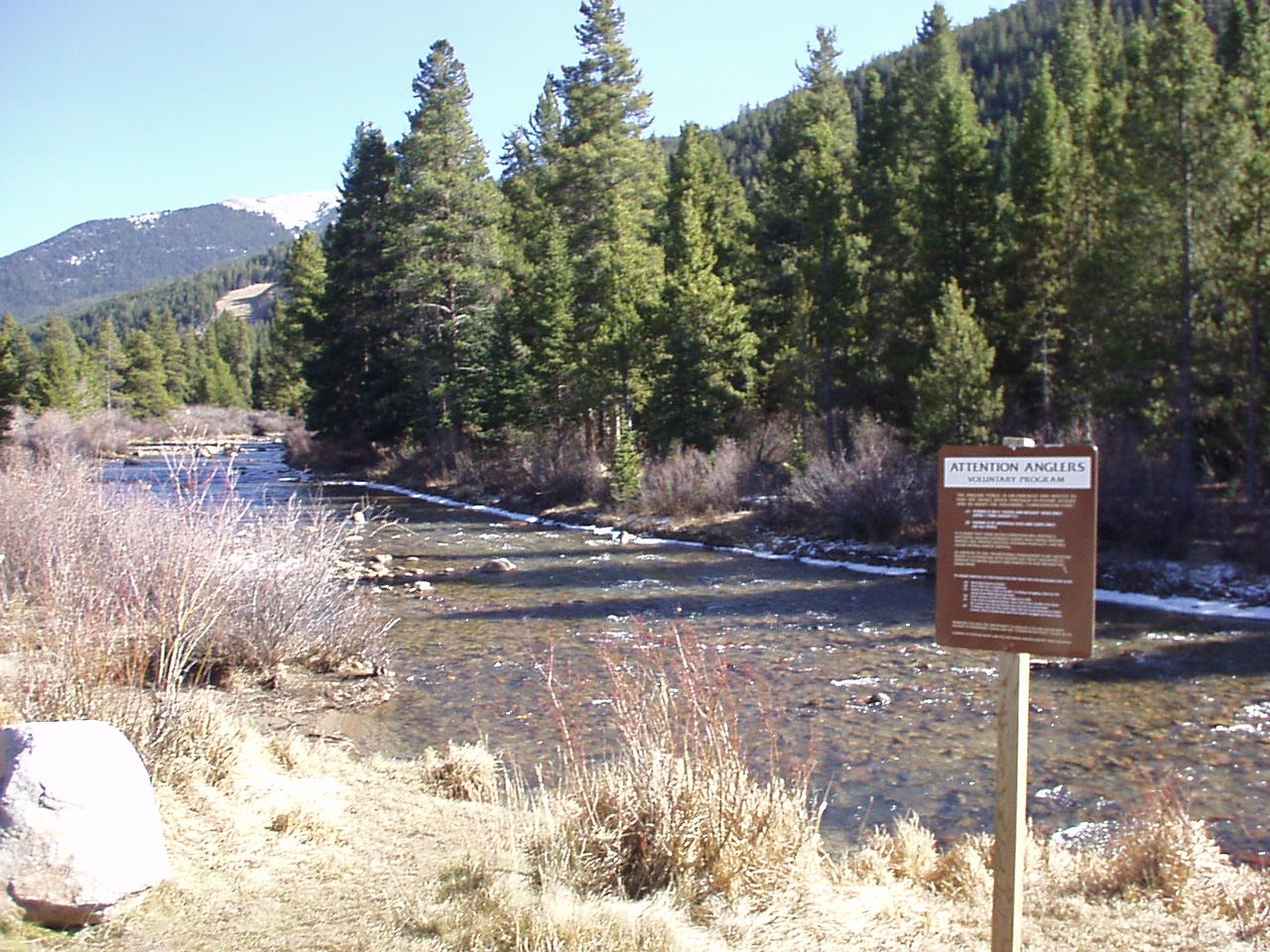 Snake RiverCanoeingPhoto: K.warterbeck, CC BY-SA 3.0 (via Wikimedia Commons)5.3 mi
- Mizpah CampgroundCamping8.9 mi
- Clear Lake CampgroundCamping9.1 mi
- West Fork Clear CreekCanoeing9.3 mi
Source: Roamze catalog (indexable pages within 10 miles, PostGIS distance)
© openrouteservice.org by HeiGIT | Map data © OpenStreetMap contributors
