Keystone Area
Campground
Campground · 5.7 mi from the trail
 Photo: glennharper, CC BY-SA 2.0 (via Flickr)
Alert in the area
The Forest Service lists 3 alerts for Arapaho and Roosevelt National Forests.
Fire Restrictions
Agency alert covering Arapaho and Roosevelt National Forests · USFS · Arapaho and Roosevelt National Forests
Slater Lake Area Closure
Agency alert covering Clear Creek Ranger District · Order 02-10-07-26-03 · USFS · Clear Creek Ranger District
Area Closure Surrounding the Devils Nose Target Range
Agency alert covering Clear Creek Ranger District · Order 02-10-07-26-01 · USFS · Clear Creek Ranger District
As of · Source: USFS · Arapaho and Roosevelt National Forests. Agencies don't list every closure — check before you go.
Mount Sniktau is a 3.4-mile out-and-back hike in Colorado's Clear Creek Ranger District, part of the Arapaho and Roosevelt National Forests. The route climbs to a high point of 13,219 feet, with a total elevation gain of 1,508 feet for the round trip. The Forest Service manages the land. The hike is rated moderate, and the trip is estimated to take about two hours. The peak sits close to two other hikes, Cupid and Grizzly Peak, both about 0.1 mile away. Climbers can find the Loveland Pass Area and Lost Wall about 3 miles off, and Mizpah Campground lies roughly 9 miles away.
Keystone Area
Campground
Two Bears Tap and Grill
Bar and grill restaurant
 If it rainsUser:Magicpiano, CC BY-SA 4.0 · Wikimedia Commons
Historic house-museum in Georgetown, Colorado, United States
Places © OpenStreetMap contributors, Places © Overture Maps Foundation · Photos: User:Magicpiano, CC BY-SA 4.0 (commons)
More in Idaho SpringsDaily highs and lows, wind and the chance of precipitation at the summit and route start for the next 7 days, from the Open-Meteo model.
CupidHikingPhoto: glennharper, CC BY-SA 2.0 (via Flickr)0.1 miGrizzly PeakHikingPhoto: glennharper, CC BY-SA 2.0 (via Flickr)0.1 mi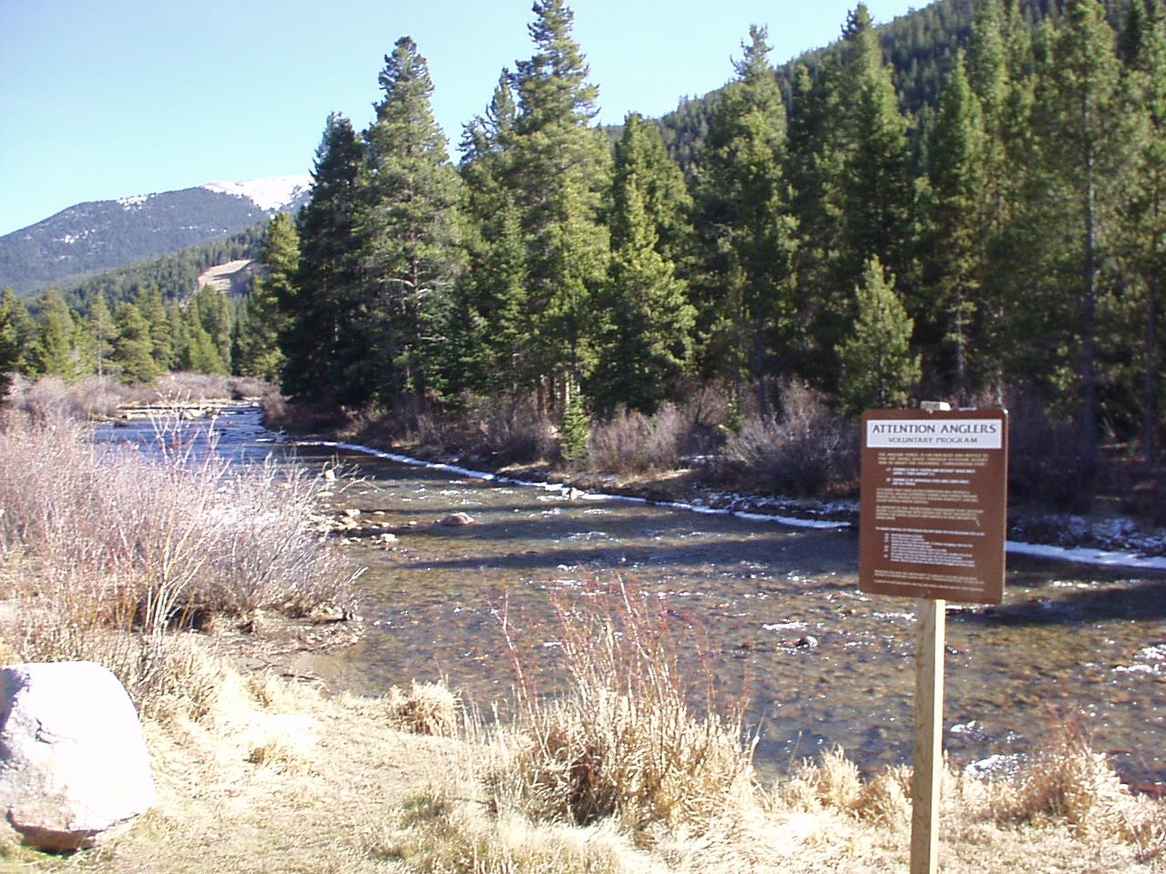 Snake RiverCanoeingPhoto: K.warterbeck, CC BY-SA 3.0 (via Wikimedia Commons)5.3 mi
Source: Roamze catalog (indexable pages within 10 miles, PostGIS distance)
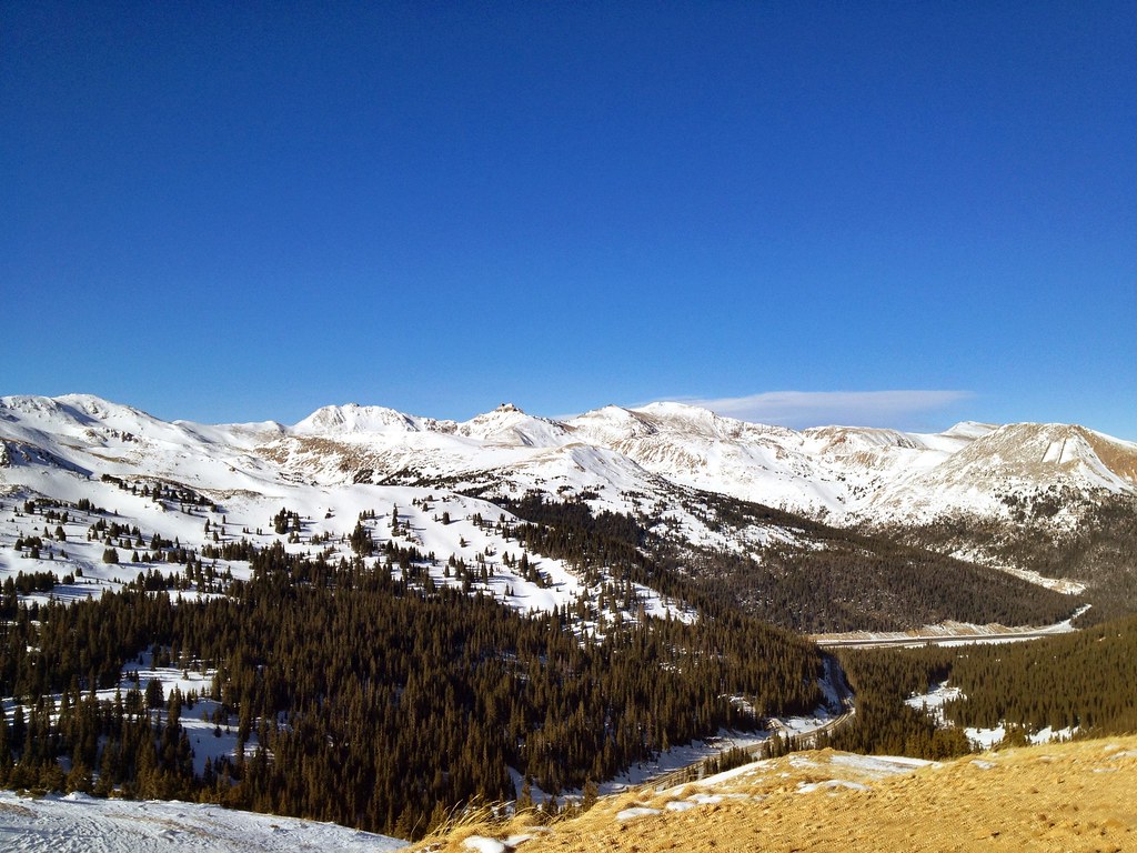 Loveland PassHiking · Next doorPhoto: PACarlson, CC BY 2.0 (via Flickr)
 Pass LakeHiking · ~1 min drivePhoto: Kimaz2412, CC BY 2.0 (via Flickr)
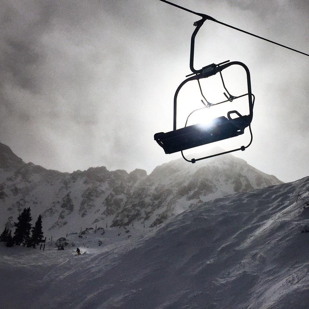 Argentine North Fork TrailHiking · ~3 min drivePhoto: cpgmattr, CC BY 2.0 (via Flickr)
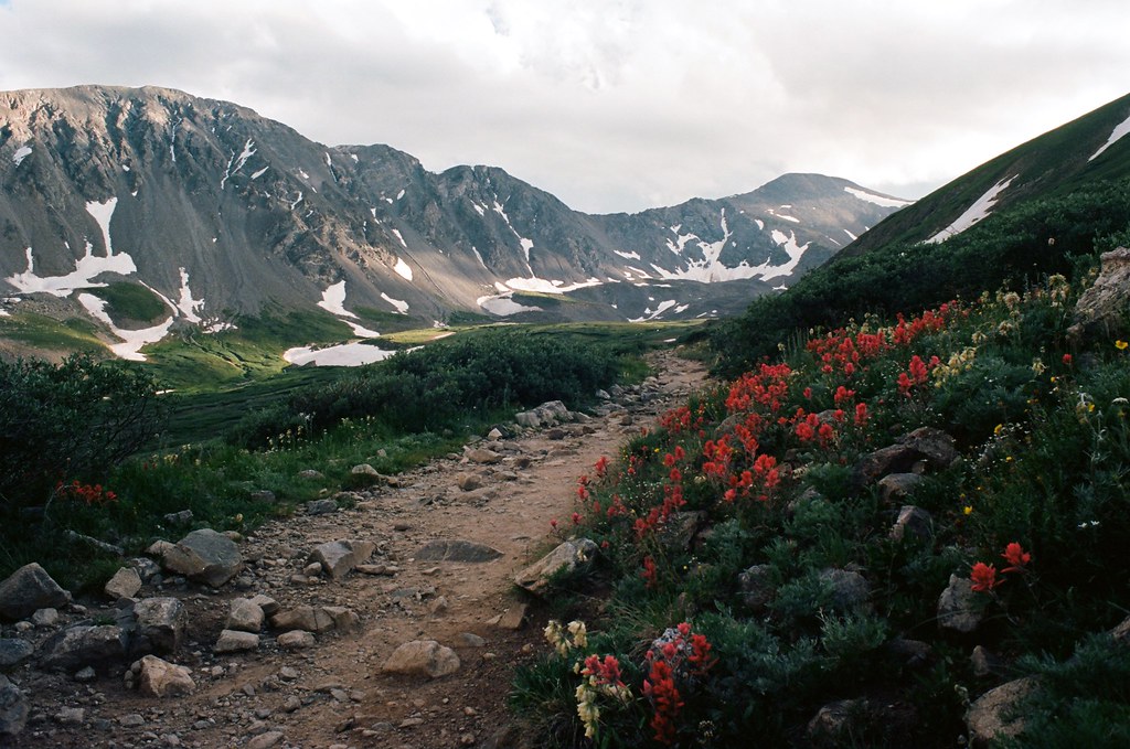 Torreys PeakHiking · ~9 min drivePhoto: MCA / Mike Allyn, CC BY 2.0 (via Flickr)
 Climbing TrailHiking · ~4 min drivePhoto: gregor_y, CC BY-SA 2.0 (via Flickr)
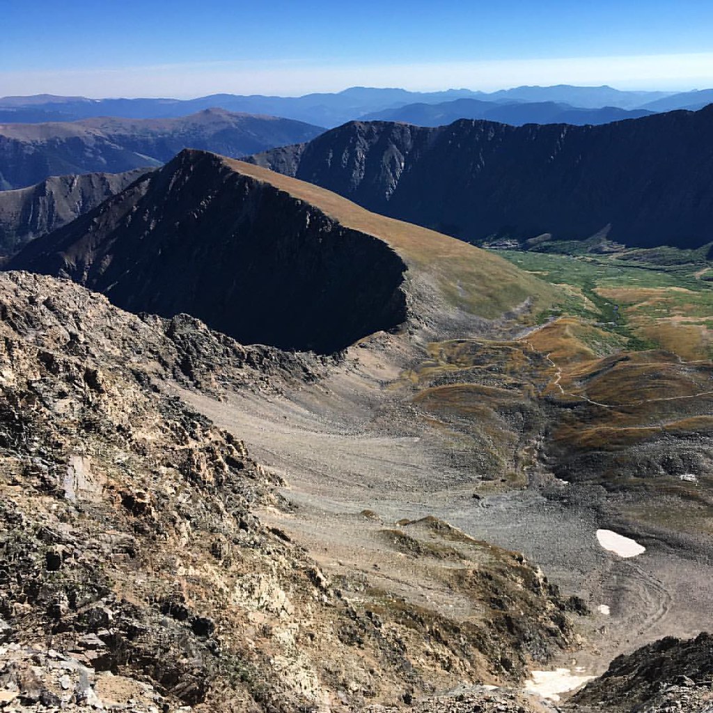 Torreys SummitHiking · ~7 min drivePhoto: gregor_y, CC BY-SA 2.0 (via Flickr)
 Mount ParnassusHiking · ~5 min drivePhoto: kalestews, CC BY 2.0 (via Flickr)
 Divide TrailHiking · ~6 min drivePhoto: Roman Eugeniusz, CC BY-SA 3.0 (via Wikimedia Commons)Kelso RidgeHiking · ~7 min drivePhoto: gregor_y, CC BY-SA 2.0 (via Flickr)
Also worth it near here
 Arapahoe BasinSki touring · ~3 min drivePhoto: Greg Younger from Fort Collins, USA, CC BY-SA 2.0 (via Wikimedia Commons)
 Mount SniktauSummit · ~3 min drivePhoto: Xnatedawgx, CC BY-SA 3.0 (via Wikimedia Commons)
 Snake River FallsWaterfall · ~3 min drivePhoto: Craig Talbert, CC BY 2.0 (via Wikimedia Commons)
About 3.4 mi round trip from Loveland Pass Trailhead.
About 1,508 ft of climbing round trip.
It is rated moderate.
Loveland Pass Trailhead.
© openrouteservice.org by HeiGIT | Map data © OpenStreetMap contributors
