
Pettingell Peak
About
Pettingell Peak is a summit of about 13,552 feet in Clear Creek County, Colorado, on the Clear Creek Ranger District of the Arapaho and Roosevelt National Forests. The Forest Service manages the land, and the nearest town is Keystone, about 8.5 miles away. A summit route leads to the top. The CDT iiyST hike lies about 2.2 miles away, and Hassell Lake is about 2.9 miles off. For an overnight base, Mizpah Campground is about 6.7 miles away, and the Loveland Pass Area climbing area is about 7 miles away.
Summit Facts
Summit elevation
13,552 ft
Land manager
Forest Service
Elevation from USGS 3D Elevation Program terrain data (about 10 m resolution).
Location
Pettingell Peak
Colorado
Name and location: U.S. Geological Survey, Geographic Names Information System (GNIS). Elevation: USGS 3D Elevation Program. View the GNIS record.
Facts about this place
Where it is
- Clear Creek Ranger District · Ranger district
- Sulphur Ranger District · Ranger district
- Arapaho and Roosevelt National Forests · National forest
- Nearest town
- Keystone, Colorado · 8.5 mi
- Managed by
- Forest Service
Source: USFS EDW boundaries; USGS PAD-US 4.1; USGS GNIS populated places
Conditions
Active alerts for Clear Creek Ranger District as of Oct 9, 2026:
caution · posted Sep 18, 2026
Area Closure Surrounding the Devils Nose Target Range
caution · posted Aug 24, 2026
Source: USFS forest alerts
Nearby
- CDT iiySTHiking2.2 mi
- Hassell LakeHiking2.9 mi
- Mizpah CampgroundCamping6.7 mi
- Loveland Pass AreaRock climbing7 mi
- Lost WallRock climbing7 mi
- Sugarloaf CampgroundCamping7.7 mi
- West Fork Clear CreekCanoeing7.7 mi
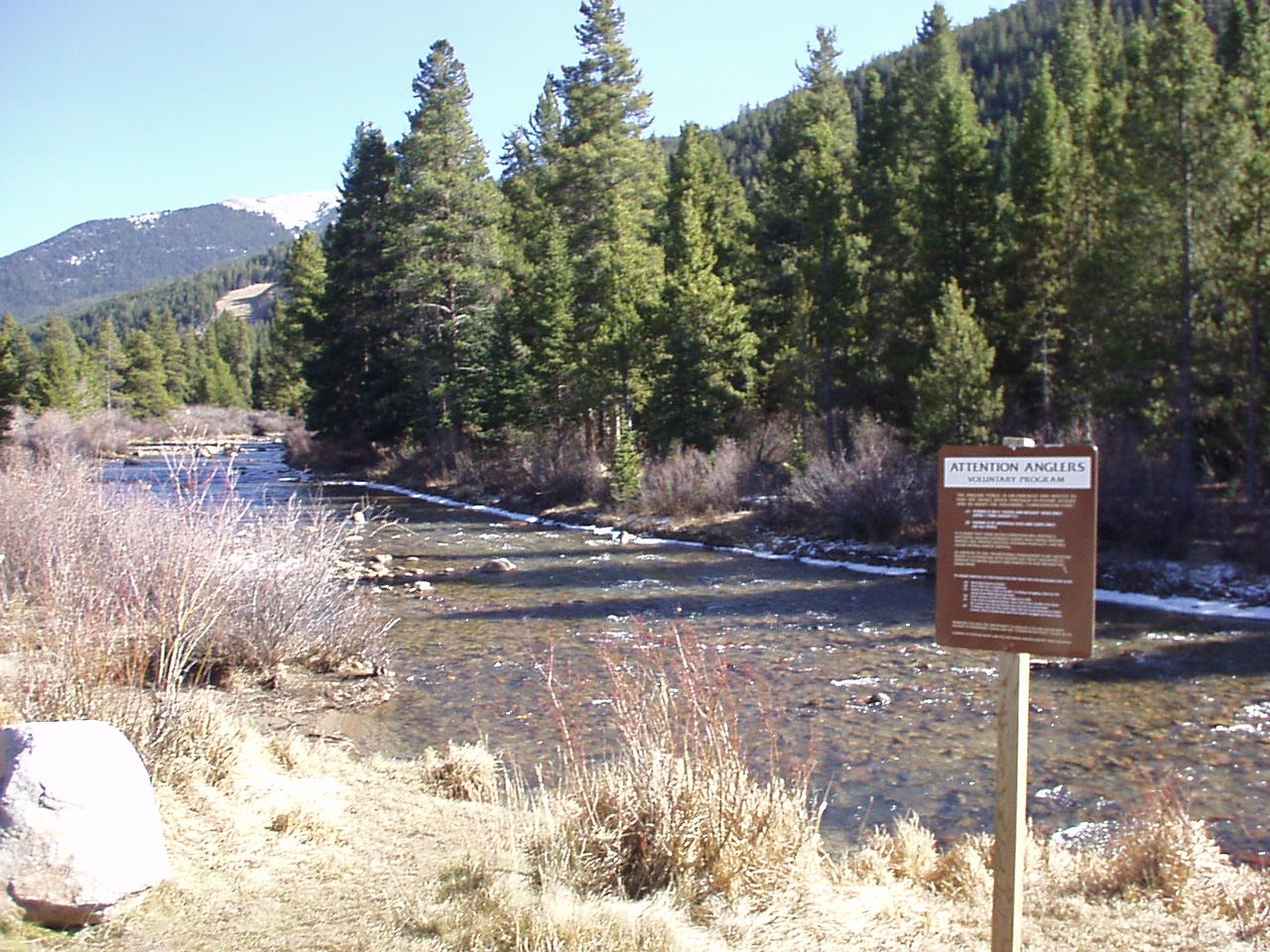 Snake RiverCanoeingPhoto: K.warterbeck, CC BY-SA 3.0 (via Wikimedia Commons)9.4 mi
Source: Roamze catalog (indexable pages within 10 miles, PostGIS distance)
