Oh-Be-Joyful Road
 Photo: Sheila Sund from Salem, United States, CC BY 2.0 (via Wikimedia Commons)
- 0.4 mi
- distance
- 119 ft
- climb
- 9,112 ft
- high point
- Jun–Aug
- best months
Oh-Be-Joyful Road is a cross-country skiing route on Bureau of Land Management land in Colorado's Gunnison Field Office, about 0.4 miles from Oh Be Joyful Campground and roughly 0.8 miles from the Coal Train Trail. The route runs under a quarter mile long, from about 9,100 feet to roughly 9,110 feet, with a total climb of 119 feet and a short stretch of steep grade near the start. The climb begins at 9,102 feet, rises to a high point of 9,112 feet and drops slightly to 9,112 feet before the end. The steepest section comes at about 0.11 miles in, with a 9% grade. Winter is the natural season for this route. Typical averages from a nearby weather station in Crested Butte, at a similar elevation, show January highs around 26°F with lows near -7°F, while June runs about 70°F high and 34°F low. That station sits a few hundred feet lower than the road, so temperatures on the route run slightly cooler. Oh Be Joyful Campground is just 0.4 miles away, and the Oh-Be-Joyful hike and Coal Train Trail are both within a mile. The Slate River, about 2.9 miles off, offers canoeing.
Local outfitters
- SUP Marble14 mi away
- Hanging Lake Adventure Co-op46 mi away
Not on Roamze yet. Their page has how to reach them.
Best time to go · Jun–Aug
Best time to visit Oh-Be-Joyful Road
Best months: June–August. Best months have typical highs of 55–85 °F, lows of 30 °F or warmer (32 °F where the station doesn't record snow), at most one snowy day and no more than 12 wet days.
Jan
26° / -7°
12 wet
Feb
29° / -2°
11 wet
Mar
38° / 7°
10 wet
Apr
47° / 19°
9 wet
May
58° / 28°
8 wet
Jun
70° / 34°
7 wet
Jul
76° / 40°
10 wet
Aug
74° / 38°
12 wet
Sep
66° / 31°
9 wet
Oct
54° / 22°
8 wet
Nov
39° / 9°
9 wet
Dec
27° / -4°
11 wet
Typical high / low (°F) and days with rain or snow, 1991–2020. Measured at Crested Butte, CO, 4.4 mi away at 8,867 ft. This station doesn't record snowfall. Source: NOAA NCEI U.S. Climate Normals 1991–2020.
Keep exploring — more snow worth the drive
Photo: Sheila Sund from Salem, United States, CC BY 2.0 (via Wikimedia Commons)Coal Train Trail
~1 min drive
0.48-mile trail in Colorado with 161 ft of elevation gain.
Photo: Sheila Sund from Salem, United States, CC BY 2.0 (via Wikimedia Commons)Gunsight Pass Road Road
~1 min drive
0.22-mile route on Gunsight Pass Road Road in Colorado with 142 ft of elevation gain.
 Photo: www.Pixel.la Free Stock Photos, CC0 (via Wikimedia Commons)
Inner Magic Meadows 3
~5 min drive
0.49-mile route in Colorado with 74 feet of elevation gain.
 Photo: Nick Taylor, CC BY-SA 2.0 (via Wikimedia Commons)
Pooch'S Paradise
~7 min drive
Beginner-friendly 1.82-mile Colorado ski trail perfect for families and new skiers.
 Photo: Sheila Sund from Salem, United States, CC BY 2.0 (via Wikimedia Commons)
Washington Gulch Road
~2 min drive
Short, beginner-friendly road ski in Colorado's Washington Gulch.
Photo: Nick Taylor, CC BY-SA 2.0 (via Wikimedia Commons)Woods Walk
~6 min drive
Easy, short forest loop in Colorado ideal for beginner cross-country skiers.
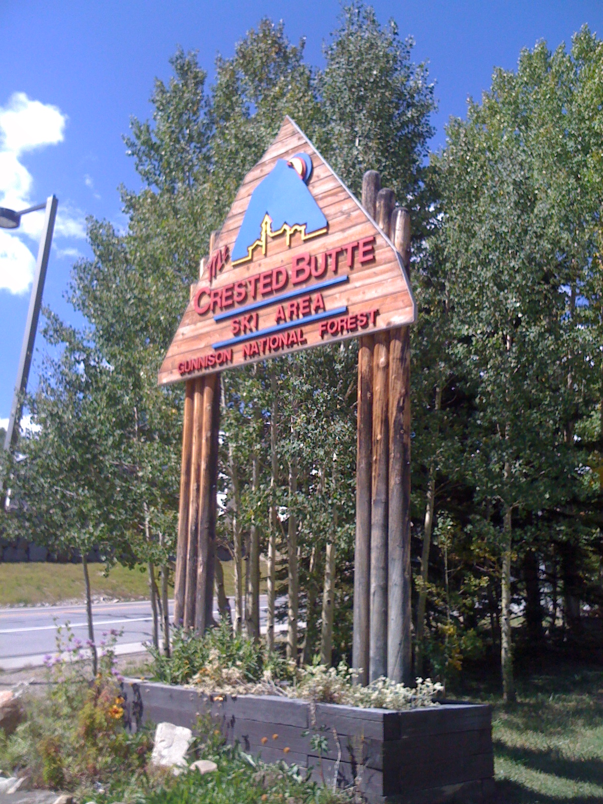 Photo: Draconrex, CC BY-SA 3.0 (via Wikimedia Commons)
Crested Butte Mountain Resort
~9 min drive
Crested Butte Mountain Resort in Colorado has 15 lifts and 95 runs with 2,315 ft of vertical drop.
Photo: Sheila Sund from Salem, United States, CC BY 2.0 (via Wikimedia Commons)Slate River Road
~2 min drive
7.70-mile cross-country ski trail in Colorado with 1,369 ft of elevation gain.
Photo: Sheila Sund from Salem, United States, CC BY 2.0 (via Wikimedia Commons)Gunsight Pass Road 585
~2 min drive
0.67-mile route in Colorado with 86 feet of elevation gain.
 Photo: Helimedic39, CC BY-SA 3.0 (via Wikimedia Commons)
Middle Earth
~8 min drive
Middle Earth is a 1.23-mile cross-country ski trail in Colorado with 310 feet of elevation gain.
Also worth it near here
 Photo: supercraigtalbert, CC BY 2.0 (via Flickr)
Oh-Be-Joyful
~1 min drive
Photo: Sheila Sund from Salem, United States, CC BY 2.0 (via Wikimedia Commons)Campsite WG 11
~3 min drive
 Photo: Jeffrey Beall from Denver, Colorado, USA, CC BY-SA 2.0 (via Wikimedia Commons)
Gothic Mountain
~5 min drive
 Photo: Jeffrey Beall, CC BY 3.0 (via Wikimedia Commons)
Slate River
~5 min drive
Map and trail data © OpenStreetMap contributors
