Middle Earth
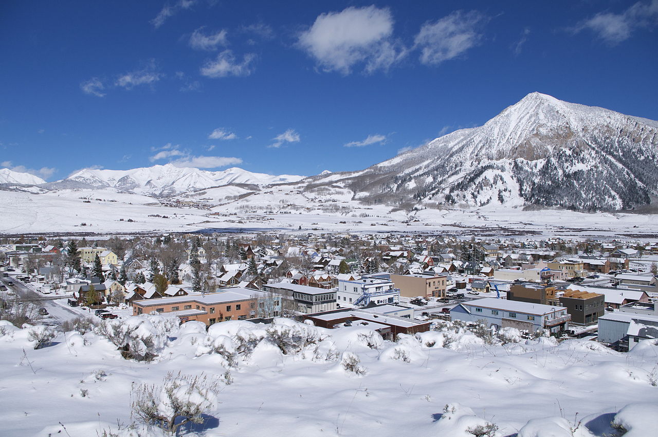
 Photo: Helimedic39, CC BY-SA 3.0 (via Wikimedia Commons)
- 1.2 mi
- distance
- 85 ft
- climb
- 8,961 ft
- high point
- Moderate
- difficulty
- Jun–Aug
- best months
Is Middle Earth open right now?
Closure in the area
There's a closure order in Grand Mesa, Uncompahgre and Gunnison National Forests. It doesn't name Middle Earth, so check the source for the area it covers (2 listed).
Gold Mountain Wildfire Roads and Trails Closure Order v 4.0
Agency closure covering Grand Mesa, Uncompahgre and Gunnison National Forests · USFS · Grand Mesa, Uncompahgre and Gunnison National Forests
Ophir Pass Road Closure
Agency closure covering Grand Mesa, Uncompahgre and Gunnison National Forests · USFS · Grand Mesa, Uncompahgre and Gunnison National Forests
TERMINATION OF ORDER - FIRE RESTRICTIONS
Agency alert covering Grand Mesa, Uncompahgre and Gunnison National Forests · USFS · Grand Mesa, Uncompahgre and Gunnison National Forests
Dallas Area Closure order
Agency alert covering Grand Mesa, Uncompahgre and Gunnison National Forests · USFS · Grand Mesa, Uncompahgre and Gunnison National Forests
Island Lake Road Closure
Agency alert covering Grand Mesa, Uncompahgre and Gunnison National Forests · USFS · Grand Mesa, Uncompahgre and Gunnison National Forests
As of · Source: USFS · Grand Mesa, Uncompahgre and Gunnison National Forests. Agencies don't list every closure — check before you go.
Middle Earth is a cross-country ski route in the Gunnison Ranger District of the Grand Mesa, Uncompahgre and Gunnison National Forests in Colorado, about 1.2 miles long with a moderate climb of 85 feet from a starting point at 8,915 feet to a high of 8,961 feet. The Forest Service manages the surrounding land. The route is short and stays low, with the steepest stretch at about 0.97 miles. The closest neighbors are Old Ditch Trail and Gulch, both about 0.1 mile away, and the climbing at The Hone Stone and High Times, each about 0.4 mile off. Winter is the natural season for skiing here, and typical averages from the Crested Butte weather station, just 0.8 mile away, show January highs around 26°F with lows near -7°F. Summer is warmer, with July highs in the mid-70s. For more time on the trails, the Slate River offers canoeing about 2 miles away, and Crested Butte RV Resort has camping about 2.2 miles out.
Local outfitters
- SUP Marble18 mi away
Not on Roamze yet. Their page has how to reach them.
Best time to go · Jun–Aug
Best time to visit Middle Earth
Best months: June–August. Best months have typical highs of 55–85 °F, lows of 30 °F or warmer (32 °F where the station doesn't record snow), at most one snowy day and no more than 12 wet days.
Jan
26° / -7°
12 wet
Feb
29° / -2°
11 wet
Mar
38° / 7°
10 wet
Apr
47° / 19°
9 wet
May
58° / 28°
8 wet
Jun
70° / 34°
7 wet
Jul
76° / 40°
10 wet
Aug
74° / 38°
12 wet
Sep
66° / 31°
9 wet
Oct
54° / 22°
8 wet
Nov
39° / 9°
9 wet
Dec
27° / -4°
11 wet
Typical high / low (°F) and days with rain or snow, 1991–2020. Measured at Crested Butte, CO, 0.8 mi away at 8,867 ft. This station doesn't record snowfall. Source: NOAA NCEI U.S. Climate Normals 1991–2020.
Keep exploring — more snow worth the drive
Photo: Helimedic39, CC BY-SA 3.0 (via Wikimedia Commons)Old Ditch Trail
Next door
0.23-mile trail in Colorado with 21 ft of elevation gain.
Photo: Helimedic39, CC BY-SA 3.0 (via Wikimedia Commons)Gulch
Next door
Gulch is a 0.61-mile trail in Colorado with 86 feet of elevation gain.
Photo: Helimedic39, CC BY-SA 3.0 (via Wikimedia Commons)Skyland Cc
~1 min drive
1.33-mile cross-country ski trail in Colorado with 141 ft of elevation gain.
 Photo: Nick Taylor, CC BY-SA 2.0 (via Wikimedia Commons)
Powerline
~3 min drive
Powerline is a 0.14-mile ski trail in Colorado.
 Photo: Nicholas Swanson
http://nicholasswanson.com/
http://dribbble.com/NicholasSwanson, CC0 (via Wikimedia Commons)
Tony'S Trail 603
Next door
Short, beginner-friendly Colorado ski trail perfect for quick outings.
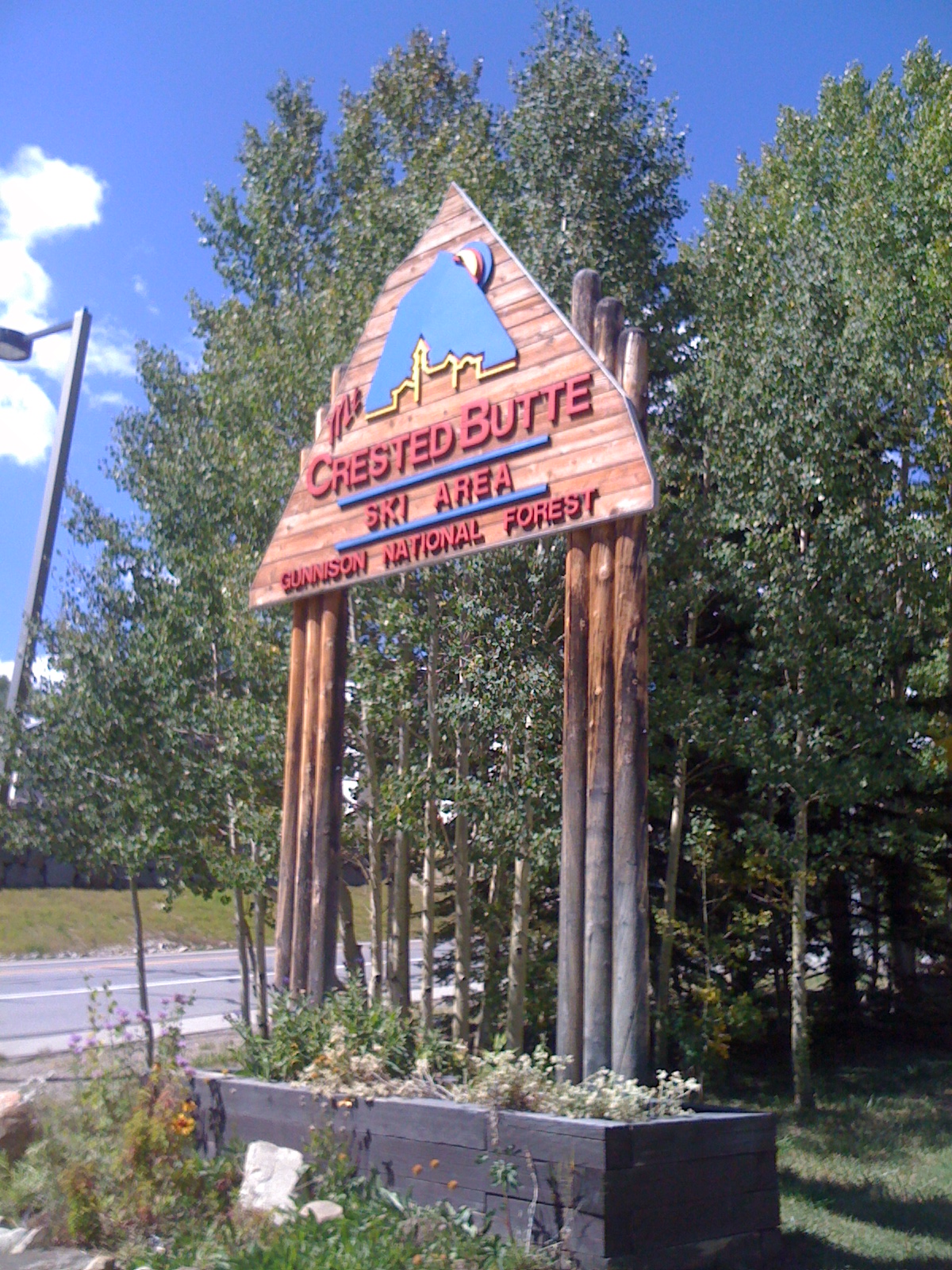 Photo: Draconrex, CC BY-SA 3.0 (via Wikimedia Commons)
Crested Butte Mountain Resort
~3 min drive
Crested Butte Mountain Resort in Colorado has 15 lifts and 95 runs with 2,315 ft of vertical drop.
 Photo: Sheila Sund from Salem, United States, CC BY 2.0 (via Wikimedia Commons)
Washington Gulch Road
~8 min drive
Short, beginner-friendly road ski in Colorado's Washington Gulch.
Photo: Helimedic39, CC BY-SA 3.0 (via Wikimedia Commons)The Maze
Next door
0.97-mile route in Colorado with 34 ft of elevation gain.
Photo: Nicholas Swanson
http://nicholasswanson.com/
http://dribbble.com/NicholasSwanson, CC0 (via Wikimedia Commons)Tony'S
Next door
2.80-mile cross-country ski trail in Colorado with 874 ft of elevation gain.
 Photo: www.Pixel.la Free Stock Photos, CC0 (via Wikimedia Commons)
Inner Magic Meadows 3
~4 min drive
0.49-mile route in Colorado with 74 feet of elevation gain.

Map and trail data © OpenStreetMap contributors
