

SUP Marble
Kayaking business nearby (~17 mi away) — hasn't claimed their Roamze page yet
Free — you'll pick up right here.
Watch this water
Sign up to watch it — saving subscribes you to gate, closure and report changes.
Colorado
An agency closure order is in effect for this area; weather is good
2 factors · 2 sources
Newest 2 h ago · oldest 2 h
problem: Agency alerts
34 active alerts in Grand Mesa, Uncompahgre and Gunnison National Forests; most severe: Gold Mountain Wildfire Roads and Trails Closure Order v 4.0
USFSPosted Sep 15 · checked 2 h ago
clear: Weather
Clouds, high 67°F / low 38°F, 0% precip — 99/100 for canoeing
OpenWeather2 h ago
Been out here in the last few days? One report keeps this current for everyone.
Why you'll love it
Long-term averages modeled by USGS (NHDPlus HR), not today's conditions. Check a gauge before you go.
Slate River
AI-suggested draft · review before you go
No permit or access details on file for this water — check with the local land manager before you go.
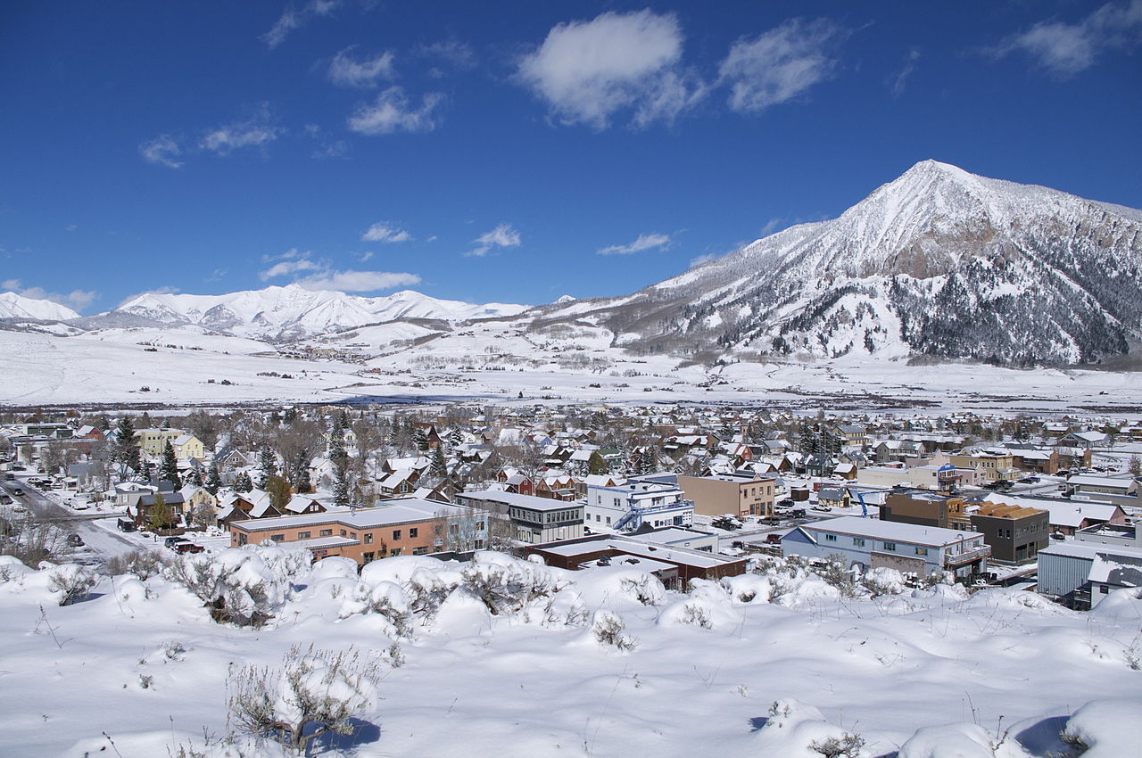
Slate River is a 23-mile paddling stretch near Crested Butte, Colorado. It flows year-round. USGS models an average flow of about 152 cfs and a gradient of about 82.3 feet per mile.
 Photo: Jeffrey Beall, CC BY-SA 3.0 (via Wikimedia Commons)
North Fork Gunnison River
~34 min drive
North Fork Gunnison River is a 0.1-mile paddling stretch near Somerset, Colorado. It flows year-round. USGS models an average flow of about 273 cfs. Land along it is managed by the state fish and wildlife agency.
Spring Creek Reservoir Boating Site
~27 min drive
A worthwhile stop near Colorado.
Stevens Creek Campground
~48 min drive
A worthwhile stop near Colorado.
One Mile
~29 min drive
A worthwhile stop near Colorado.
 Photo: Jeffrey Beall, CC BY-SA 3.0 (via Wikimedia Commons)
Taylor River
~31 min drive
Taylor River is a 18-mile paddling stretch near Almont, Colorado. It flows year-round. USGS models an average flow of about 111 cfs and a gradient of about 87.4 feet per mile. Land along it is managed by the U.S. Forest Service.
Five Mile Access
~28 min drive
A worthwhile stop near Colorado.
Lodgepole (Taylor River Canyon near Gunnison, COLORADO)
~35 min drive
A worthwhile stop near Colorado.
Brush Creek
~11 min drive
Brush Creek is a 4.8-mile paddling stretch near Crested Butte, Colorado. It flows year-round. USGS models an average flow of about 67 cfs and a gradient of about 97.1 feet per mile. Land along it is managed by the U.S. Forest Service.
South Bank Access Boating Site
~29 min drive
A worthwhile stop near Colorado.
Ruby Anthracite Creek
~16 min drive
Ruby Anthracite Creek is a 13-mile paddling stretch near Crested Butte, Colorado. It flows year-round. USGS models an average flow of about 66 cfs and a gradient of about 248.9 feet per mile. Land along it is managed by the U.S. Forest Service.
Also worth it near here
Local operators near Crested Butteoffering guided trips. You book directly with them — Roamze doesn’t take a cut.
SUP Marble
Kayaking business nearby (~17 mi away) — hasn't claimed their Roamze page yet
Taylor Park Marina
Kayaking business nearby (~23 mi away) — hasn't claimed their Roamze page yet
Arrowhead Point Campground and Cabins
Kayaking business nearby (~45 mi away) — hasn't claimed their Roamze page yet
