Gunsight Pass Road 585
 Photo: Sheila Sund from Salem, United States, CC BY 2.0 (via Wikimedia Commons)
- 0.7 mi
- distance
- 55 ft
- climb
- 9,011 ft
- high point
- Hard
- difficulty
- Jun–Aug
- best months
Gunsight Pass Road 585 is a short, hard cross-country ski route in Colorado, about 0.67 miles long and rising from roughly 9,000 feet to about 9,010 feet. The climb is steep at the start, with an 8% grade at the first 0.05 miles, and the route ends with a slight drop of about 95 feet. The nearest town is Mount Crested Butte, about 3 miles away. Winter is the natural season for this route. Typical averages from the Crested Butte weather station, about 3.5 miles away, show January highs around 26°F with lows near -7°F, while June runs about 70°F by day and 34°F at night. The station sits a few hundred feet lower than the road, so temperatures on the pass run slightly cooler. Slate River Road and the Coal Train Trail both start within about a tenth of a mile. Oh Be Joyful Campground is about 0.6 miles away, and the Slate River, a canoeing spot, is about 2 miles off.
Local outfitters
- SUP Marble15 mi away
- Hanging Lake Adventure Co-op47 mi away
Not on Roamze yet. Their page has how to reach them.
Best time to go · Jun–Aug
Best time to visit Gunsight Pass Road 585
Best months: June–August. Best months have typical highs of 55–85 °F, lows of 30 °F or warmer (32 °F where the station doesn't record snow), at most one snowy day and no more than 12 wet days.
Jan
26° / -7°
12 wet
Feb
29° / -2°
11 wet
Mar
38° / 7°
10 wet
Apr
47° / 19°
9 wet
May
58° / 28°
8 wet
Jun
70° / 34°
7 wet
Jul
76° / 40°
10 wet
Aug
74° / 38°
12 wet
Sep
66° / 31°
9 wet
Oct
54° / 22°
8 wet
Nov
39° / 9°
9 wet
Dec
27° / -4°
11 wet
Typical high / low (°F) and days with rain or snow, 1991–2020. Measured at Crested Butte, CO, 3.5 mi away at 8,867 ft. This station doesn't record snowfall. Source: NOAA NCEI U.S. Climate Normals 1991–2020.
Keep exploring — more snow worth the drive
Photo: Sheila Sund from Salem, United States, CC BY 2.0 (via Wikimedia Commons)Coal Train Trail
Next door
0.48-mile trail in Colorado with 161 ft of elevation gain.
Photo: Sheila Sund from Salem, United States, CC BY 2.0 (via Wikimedia Commons)Gunsight Pass Road Road
Next door
0.22-mile route on Gunsight Pass Road Road in Colorado with 142 ft of elevation gain.
 Photo: www.Pixel.la Free Stock Photos, CC0 (via Wikimedia Commons)
Inner Magic Meadows 3
~3 min drive
0.49-mile route in Colorado with 74 feet of elevation gain.
 Photo: Nick Taylor, CC BY-SA 2.0 (via Wikimedia Commons)
Pooch'S Paradise
~5 min drive
Beginner-friendly 1.82-mile Colorado ski trail perfect for families and new skiers.
 Photo: Sheila Sund from Salem, United States, CC BY 2.0 (via Wikimedia Commons)
Washington Gulch Road
~3 min drive
Short, beginner-friendly road ski in Colorado's Washington Gulch.
Photo: Nick Taylor, CC BY-SA 2.0 (via Wikimedia Commons)Woods Walk
~5 min drive
Easy, short forest loop in Colorado ideal for beginner cross-country skiers.
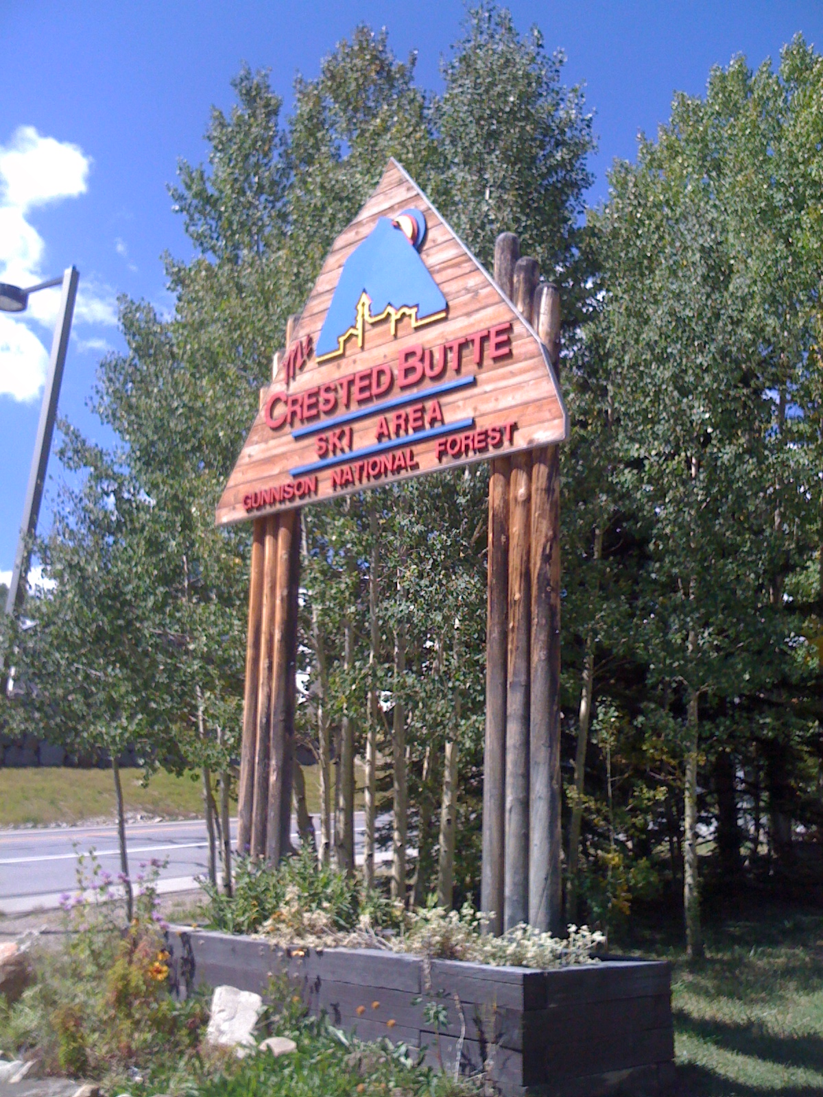 Photo: Draconrex, CC BY-SA 3.0 (via Wikimedia Commons)
Crested Butte Mountain Resort
~8 min drive
Crested Butte Mountain Resort in Colorado has 15 lifts and 95 runs with 2,315 ft of vertical drop.
Photo: Sheila Sund from Salem, United States, CC BY 2.0 (via Wikimedia Commons)Oh-Be-Joyful Road
~2 min drive
0.38-mile route in Colorado with 13 ft of elevation gain.
Photo: www.Pixel.la Free Stock Photos, CC0 (via Wikimedia Commons)Paradise Park
~2 min drive
0.75-mile cross-country ski trail in Colorado with 202 ft of elevation gain.
 Photo: Helimedic39, CC BY-SA 3.0 (via Wikimedia Commons)
Middle Earth
~7 min drive
Middle Earth is a 1.23-mile cross-country ski trail in Colorado with 310 feet of elevation gain.
Also worth it near here


Map and trail data © OpenStreetMap contributors
