Crested Butte Mountain Resort
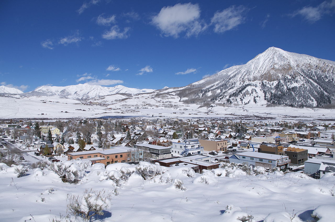
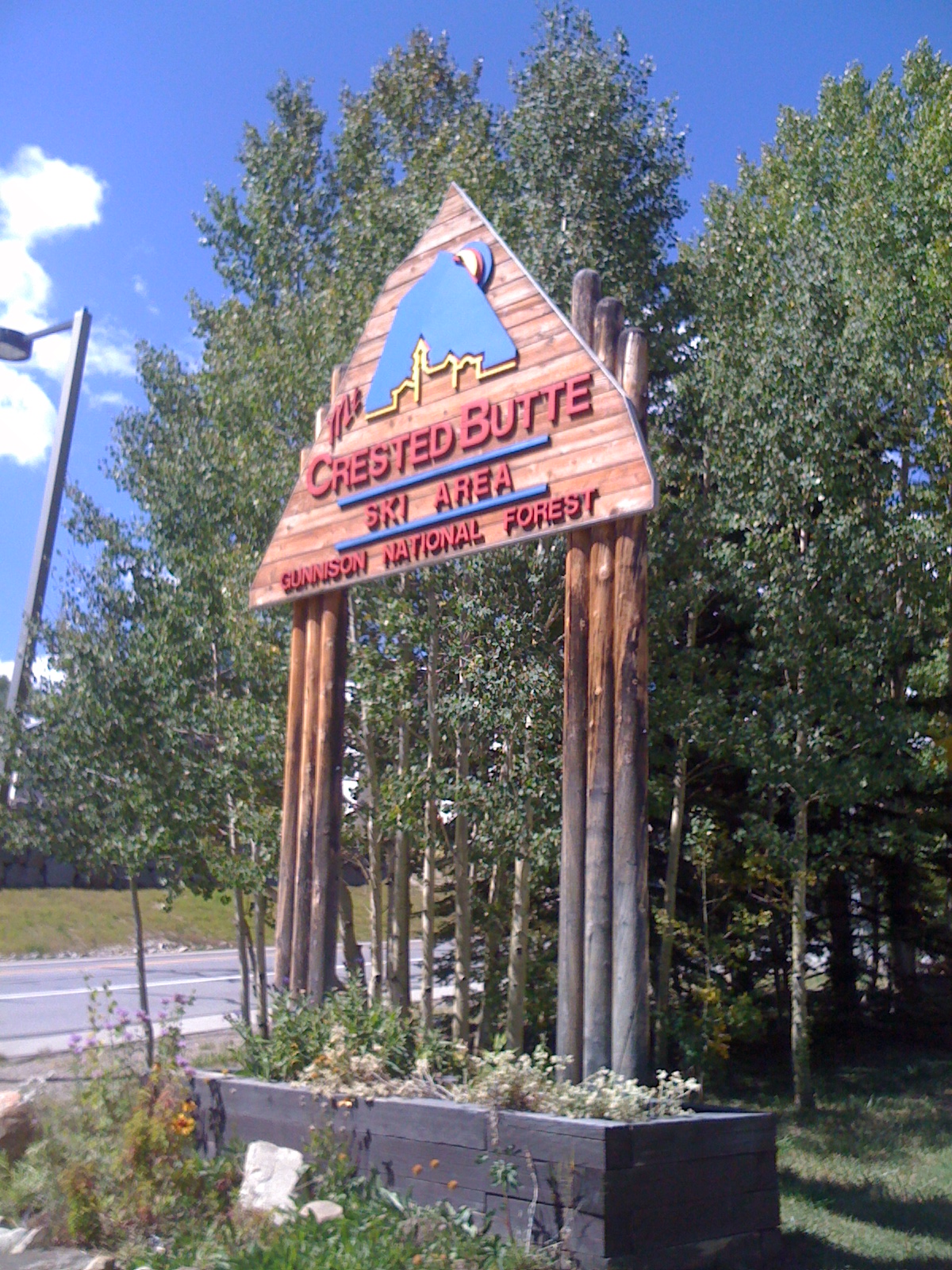 Photo: Draconrex, CC BY-SA 3.0 (via Wikimedia Commons)
- 11,444 ft
- high point
Caution at last check
Agency alerts are in effect for this area; weather is good · USFS, OpenWeather · checked 20 h ago
Is Crested Butte Mountain Resort open right now?
Closure in the area
There's a closure order in Grand Mesa, Uncompahgre and Gunnison National Forests. It doesn't name Crested Butte Mountain Resort, so check the source for the area it covers (2 listed).
Gold Mountain Wildfire Roads and Trails Closure Order v 4.0
Agency closure covering Grand Mesa, Uncompahgre and Gunnison National Forests · USFS · Grand Mesa, Uncompahgre and Gunnison National Forests
Ophir Pass Road Closure
Agency closure covering Grand Mesa, Uncompahgre and Gunnison National Forests · USFS · Grand Mesa, Uncompahgre and Gunnison National Forests
Potter Basin Road Closure Order
Agency alert covering Grand Mesa, Uncompahgre and Gunnison National Forests · USFS · Grand Mesa, Uncompahgre and Gunnison National Forests
Beaver Park Road Closure Order
Agency alert covering Grand Mesa, Uncompahgre and Gunnison National Forests · USFS · Grand Mesa, Uncompahgre and Gunnison National Forests
TERMINATION OF ORDER - FIRE RESTRICTIONS
Agency alert covering Grand Mesa, Uncompahgre and Gunnison National Forests · USFS · Grand Mesa, Uncompahgre and Gunnison National Forests
As of · Source: USFS · Grand Mesa, Uncompahgre and Gunnison National Forests. Agencies don't list every closure — check before you go.
Crested Butte Mountain Resort is a downhill ski area in Colorado with 15 lifts and 95 runs, including 21 easy, 45 intermediate, and 29 advanced runs. The resort's mapped runs span a vertical drop of 2,315 feet from a top elevation of 11,444 feet.
- Summit elevation
- 11,444 ft
- Base elevation
- 9,129 ft
- Vertical drop
- 2,315 ft
- Lifts (mapped)
- 15
- Runs (mapped)
- 95 — 21 easy · 45 intermediate · 29 advanced
 Tony'S Trail 603Ski touring · ~3 min drivePhoto: Nicholas Swanson
http://nicholasswanson.com/
http://dribbble.com/NicholasSwanson, CC0 (via Wikimedia Commons)
 Old Ditch TrailCross-country skiing · ~3 min drivePhoto: Helimedic39, CC BY-SA 3.0 (via Wikimedia Commons)
- GulchCross-country skiing · ~3 min drivePhoto: Helimedic39, CC BY-SA 3.0 (via Wikimedia Commons)
- Middle EarthCross-country skiing · ~3 min drivePhoto: Helimedic39, CC BY-SA 3.0 (via Wikimedia Commons)
 PowerlineCross-country skiing · ~5 min drivePhoto: Nick Taylor, CC BY-SA 2.0 (via Wikimedia Commons)
 Washington Gulch RoadBackcountry skiing · ~8 min drivePhoto: Sheila Sund from Salem, United States, CC BY 2.0 (via Wikimedia Commons)
- Woods WalkSki touring · ~6 min drivePhoto: Nick Taylor, CC BY-SA 2.0 (via Wikimedia Commons)
- The MazeCross-country skiing · ~3 min drivePhoto: Helimedic39, CC BY-SA 3.0 (via Wikimedia Commons)
- Tony'SCross-country skiing · ~3 min drivePhoto: Nicholas Swanson
http://nicholasswanson.com/
http://dribbble.com/NicholasSwanson, CC0 (via Wikimedia Commons)
- Skyland CcCross-country skiing · ~4 min drivePhoto: Helimedic39, CC BY-SA 3.0 (via Wikimedia Commons)

Map and trail data © OpenStreetMap contributors
