Inner Magic Meadows 3
 Photo: www.Pixel.la Free Stock Photos, CC0 (via Wikimedia Commons)
- 0.5 mi
- distance
- 55 ft
- climb
- 8,959 ft
- high point
- Moderate
- difficulty
- Jun–Aug
- best months
Is Inner Magic Meadows 3 open right now?
Closure in the area
There's a closure order in Grand Mesa, Uncompahgre and Gunnison National Forests. It doesn't name Inner Magic Meadows 3, so check the source for the area it covers (2 listed).
Gold Mountain Wildfire Roads and Trails Closure Order v 4.0
Agency closure covering Grand Mesa, Uncompahgre and Gunnison National Forests · USFS · Grand Mesa, Uncompahgre and Gunnison National Forests
Ophir Pass Road Closure
Agency closure covering Grand Mesa, Uncompahgre and Gunnison National Forests · USFS · Grand Mesa, Uncompahgre and Gunnison National Forests
TERMINATION OF ORDER - FIRE RESTRICTIONS
Agency alert covering Grand Mesa, Uncompahgre and Gunnison National Forests · USFS · Grand Mesa, Uncompahgre and Gunnison National Forests
Dallas Area Closure order
Agency alert covering Grand Mesa, Uncompahgre and Gunnison National Forests · USFS · Grand Mesa, Uncompahgre and Gunnison National Forests
Island Lake Road Closure
Agency alert covering Grand Mesa, Uncompahgre and Gunnison National Forests · USFS · Grand Mesa, Uncompahgre and Gunnison National Forests
As of · Source: USFS · Grand Mesa, Uncompahgre and Gunnison National Forests. Agencies don't list every closure — check before you go.
Inner Magic Meadows 3 is a cross-country skiing route in Colorado's Gunnison Ranger District, part of the Grand Mesa, Uncompahgre and Gunnison National Forests. It sits within the Peanut Mine/Mill area, and the land is managed by a non-governmental organization. The route is short, about half a mile, and the climb is gentle, with a total gain of 55 feet from a starting point around 8,900 feet to a high point of about 8,959 feet. Winter is the natural season for this route. Typical averages from the nearby Crested Butte weather station show January highs around 26°F with lows near -7°F, while July highs reach about 76°F. The station sits at nearly the same elevation as the route, so temperatures here run similarly. The Budd Trail and the lower loop wide path are both about 0.2 miles away, and the Slate River is about 0.3 miles off. For an overnight stay, Oh Be Joyful Campground is about 2.4 miles away.
Local outfitters
- SUP Marble16 mi away
- Hanging Lake Adventure Co-op49 mi away
Not on Roamze yet. Their page has how to reach them.
Best time to go · Jun–Aug
Best time to visit Inner Magic Meadows 3
Best months: June–August. Best months have typical highs of 55–85 °F, lows of 30 °F or warmer (32 °F where the station doesn't record snow), at most one snowy day and no more than 12 wet days.
Jan
26° / -7°
12 wet
Feb
29° / -2°
11 wet
Mar
38° / 7°
10 wet
Apr
47° / 19°
9 wet
May
58° / 28°
8 wet
Jun
70° / 34°
7 wet
Jul
76° / 40°
10 wet
Aug
74° / 38°
12 wet
Sep
66° / 31°
9 wet
Oct
54° / 22°
8 wet
Nov
39° / 9°
9 wet
Dec
27° / -4°
11 wet
Typical high / low (°F) and days with rain or snow, 1991–2020. Measured at Crested Butte, CO, 1.7 mi away at 8,867 ft. This station doesn't record snowfall. Source: NOAA NCEI U.S. Climate Normals 1991–2020.
Keep exploring — more snow worth the drive
Photo: www.Pixel.la Free Stock Photos, CC0 (via Wikimedia Commons)Paradise Park
Next door
0.75-mile cross-country ski trail in Colorado with 202 ft of elevation gain.
 Photo: Nick Taylor, CC BY-SA 2.0 (via Wikimedia Commons)
Pooch'S Paradise
~2 min drive
Beginner-friendly 1.82-mile Colorado ski trail perfect for families and new skiers.
 Photo: Sheila Sund from Salem, United States, CC BY 2.0 (via Wikimedia Commons)
Slate River Road
~3 min drive
7.70-mile cross-country ski trail in Colorado with 1,369 ft of elevation gain.
 Photo: Helimedic39, CC BY-SA 3.0 (via Wikimedia Commons)
Middle Earth
~4 min drive
Middle Earth is a 1.23-mile cross-country ski trail in Colorado with 310 feet of elevation gain.
Photo: Nick Taylor, CC BY-SA 2.0 (via Wikimedia Commons)Woods Walk
~2 min drive
Easy, short forest loop in Colorado ideal for beginner cross-country skiers.
 Photo: Sheila Sund from Salem, United States, CC BY 2.0 (via Wikimedia Commons)
Washington Gulch Road
~5 min drive
Short, beginner-friendly road ski in Colorado's Washington Gulch.
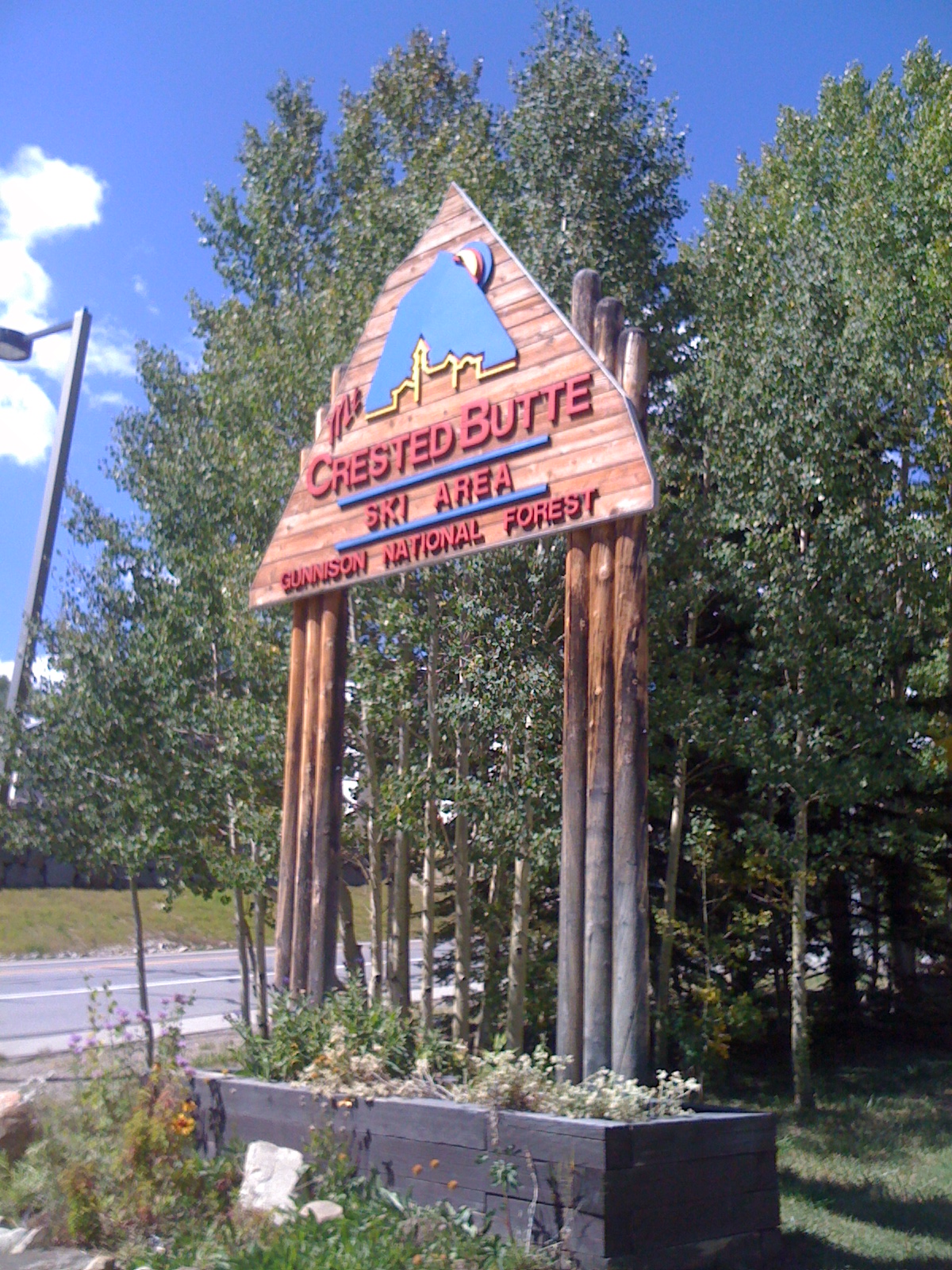 Photo: Draconrex, CC BY-SA 3.0 (via Wikimedia Commons)
Crested Butte Mountain Resort
~6 min drive
Crested Butte Mountain Resort in Colorado has 15 lifts and 95 runs with 2,315 ft of vertical drop.
Photo: Nick Taylor, CC BY-SA 2.0 (via Wikimedia Commons)Powerline
~2 min drive
Powerline is a 0.14-mile ski trail in Colorado.
 Photo: cogdogblog, CC BY 2.0 (via Wikimedia Commons)
Cb Nordic Stadium
~3 min drive
0.28-mile trail at Cb Nordic Stadium in Colorado with 47 ft of elevation gain.
Photo: Sheila Sund from Salem, United States, CC BY 2.0 (via Wikimedia Commons)Coal Train Trail
~3 min drive
0.48-mile trail in Colorado with 161 ft of elevation gain.
Also worth it near here


Map and trail data © OpenStreetMap contributors
