Brewery Creek Guard Station
Campground
Campground · 6.1 mi from the trail
Alert in the area
The Forest Service lists 7 alerts for Pike and San Isabel National Forests.
FSR 286, Radical Hill, is closed due to washouts and unsafe conditions
Agency alert covering Pike and San Isabel National Forests · USFS · Pike and San Isabel National Forests
Interlaken Hotel Tree Hazards
Agency alert covering Pike and San Isabel National Forests · USFS · Pike and San Isabel National Forests
Sharpe Fire Update
Agency alert covering Pike and San Isabel National Forests · USFS · Pike and San Isabel National Forests
Turquoise Lake Road (County Road 4) Closure
Agency alert covering Pike and San Isabel National Forests · USFS · Pike and San Isabel National Forests
Food Storage Prohibitions on Pike-San Isabel National Forests
Agency alert covering Pike and San Isabel National Forests · Order 02-12-00-23-07 · USFS · Pike and San Isabel National Forests
As of · Source: USFS · Pike and San Isabel National Forests. Agencies don't list every closure — check before you go.
Silver Creek is a moderate hike in the Salida Ranger District of the Pike and San Isabel National Forests in Colorado, managed by the Forest Service. The trail is about 9 miles long, with an elevation gain of about 1,640 feet, and it follows a natural surface. The route is an out-and-back, starting at a low point of about 9,491 feet and reaching a high of about 11,238 feet. The Colorado Trail 1776 passes just 0.1 mile from the trail, and the Summit hike is about a mile away. The Monarch Crest Trail is roughly 3 miles off, and Silver Creek Dispersed Campground sits about 7 miles from the trail.
Brewery Creek Guard Station
Campground
Waunita Pass
Viewpoint
Places © OpenStreetMap contributors
More in PitkinNot on Roamze yet. Their page has how to reach them.
Source: Roamze catalog (indexable pages within 10 miles, PostGIS distance)
 Agate CreekHiking · ~9 min drivePhoto: jl_2, CC BY-SA 2.0 (via Flickr)
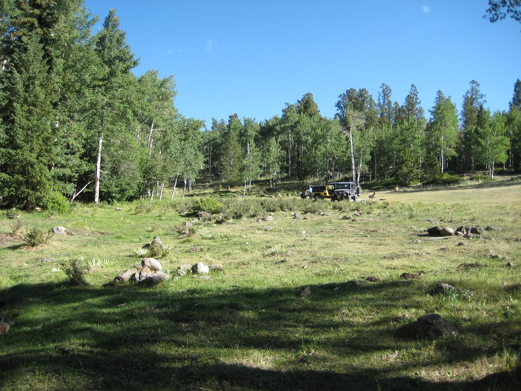 Brewery CreekHiking · ~9 min drivePhoto: GSEC, CC BY 2.0 (via Flickr)Antora CreekHiking · ~9 min drivePhoto: GSEC, CC BY 2.0 (via Flickr)FlagstaffHiking · ~10 min drivePhoto: GSEC, CC BY 2.0 (via Flickr)
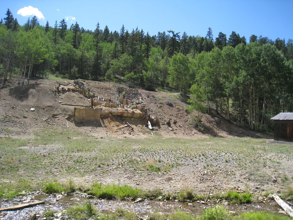 Elk HornHiking · ~12 min drivePhoto: GSEC, CC BY 2.0 (via Flickr)
Map and trail data © OpenStreetMap contributors


