Elk Horn
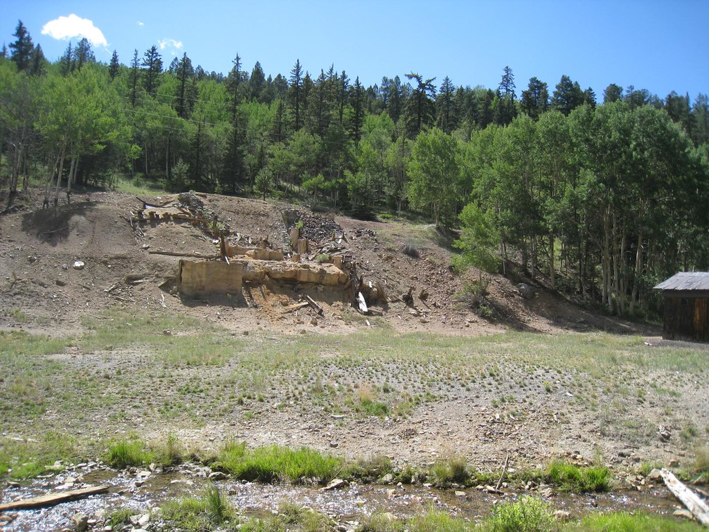 Photo: GSEC, CC BY 2.0 (via Flickr)
- 6.8 mi
- round trip
- 2,071 ft
- climb
- 11,381 ft
- high point
- Out and back
- route
Elk Horn is a 7.0-mile out-and-back trail located in Colorado near Colorado, managed by the Grand Mesa, Uncompahgre and Gunnison National Forest's Ouray Ranger District. This trail offers hikers a straightforward route with a turnaround point, making it suitable for those seeking a moderate day hike experience. The trail is maintained by the GMUG National Forest, ensuring regular upkeep and adherence to forest service standards. The out-and-back format means hikers will retrace their steps on the return journey, covering a total distance of 14.0 miles round trip. While elevation gain details are not currently available, hikers should prepare accordingly for a 7.0-mile trek. The trail's proximity to Colorado and management by the Ouray Ranger District indicate access to the diverse terrain and scenery characteristic of this region of the national forest. Before heading out, check with the Ouray Ranger District for current trail conditions, any seasonal closures, and specific access information to ensure a safe and enjoyable hiking experience.
Local outfitters
- San Luis Valley Campground11 mi away
- Monarch Spur RV Park18 mi away
Not on Roamze yet. Their page has how to reach them.
- Brewery Creek CabinCamping1.4 mi
- Brewery Creek Guard StationCamping1.4 mi
 FlagstaffHikingPhoto: GSEC, CC BY 2.0 (via Flickr)1.8 mi
- Antora CreekHikingPhoto: GSEC, CC BY 2.0 (via Flickr)2.1 mi
- Brewery CreekHikingPhoto: GSEC, CC BY 2.0 (via Flickr)2.2 mi
- Kelly CreekHiking5.4 mi
- Silver Creek Dispersed CampgroundCamping8.4 mi
- Ohaver LakePier fishing10 mi
Source: Roamze catalog (indexable pages within 10 miles, PostGIS distance)
- FlagstaffHiking · ~3 min drivePhoto: GSEC, CC BY 2.0 (via Flickr)
 Agate CreekHiking · ~20 min drivePhoto: jl_2, CC BY-SA 2.0 (via Flickr)
- Antora CreekHiking · ~4 min drivePhoto: GSEC, CC BY 2.0 (via Flickr)
- Mount OurayHiking · ~16 min drive
- Brewery CreekHiking · ~4 min drivePhoto: GSEC, CC BY 2.0 (via Flickr)
- LIME CREEKHiking · ~23 min drive
- CottonwoodHiking · ~10 min drive
- Hunts PeakHiking · ~25 min drive
 BIG BEND CREEKHiking · ~26 min drivePhoto: aspidoscelis, Public Domain Dedication (CC0) (via Flickr)
- Lime Creek Trail 485Hiking · ~23 min drive


