Antora Peak
 Photo: Jeffrey Beall, CC BY 4.0 (via Wikimedia Commons)
- 13,265 ft
- summit
- Forest Service
- managed by
Is Antora Peak open right now?
Closure in the area
There's a closure order in Rio Grande National Forest. It doesn't name Antora Peak, so check the source for the area it covers.
Closures and dangerous conditions on roads, bridges, and trails from flooding
Agency closure covering Rio Grande National Forest · USFS · Rio Grande National Forest
As of · Source: USFS · Rio Grande National Forest. Agencies don't list every closure — check before you go.
Antora Peak is a summit of about 13,265 feet in Saguache County, Colorado, within the Saguache Ranger District of the Rio Grande National Forest. The Forest Service manages the land, and the nearest town is Bonanza, about 4.6 miles away. Several trails start close by. Indian Creek Cut-Off and Silver Creek are each about 2.3 miles away, and Brewery Creek is about 2.9 miles off. For an overnight base, Brewery Creek Guard Station sits about 3.8 miles from the summit.
Conditions and forecast
Daily highs and lows, wind and the chance of precipitation at the summit for the next 7 days, from the Open-Meteo model.
- Summit elevation
- 13,265 ft
- Land manager
- Forest Service
Elevation from USGS 3D Elevation Program terrain data (about 10 m resolution).
We don't know of a mapped trail or route to the summit of Antora Peak. Plan the approach with local maps, a guidebook or a local guide, and check conditions before you go.
Questions about Antora Peak
How tall is Antora Peak?
13,265 ft (4,043 m).
Is there a trail to the top of Antora Peak?
We don't know of a mapped trail or route to the summit. Plan the approach with local maps, a guidebook or a local guide.
 Mount Ouray13,977 ft · Colorado1 route6.8 mi awayPhoto: David Herrera from Albuquerque, NM, Bernalillo, CC BY 2.5 (via Wikimedia Commons)
 Chipeta Mountain13,490 ft · Colorado1 route8.6 mi awayPhoto: Jbsco, CC BY-SA 4.0 (via Wikimedia Commons)
 Hunts Peak13,057 ft · Colorado1 route15 mi awayPhoto: Jeffrey Beall, CC BY-SA 2.0 (via Wikimedia Commons)
 Bushnell Peak13,106 ft · Colorado1 route18 mi awayPhoto: Jeffrey Beall, CC BY-SA 2.5 (via Wikimedia Commons)
 Taylor Mountain13,651 ft · Colorado1 route18 mi awayPhoto: David Herrera from Albuquerque, NM, Bernalillo, CC BY 2.0 (via Wikimedia Commons)
 Mount Aetna13,741 ft · Colorado1 route19 mi awayPhoto: Bill Ward, CC BY 2.0 (via Wikimedia Commons)
- Indian Creek Cut-OffHiking2.3 mi
- Silver CreekHiking2.3 mi
- cdnst - colorado trail 1776Mountain biking2.4 mi
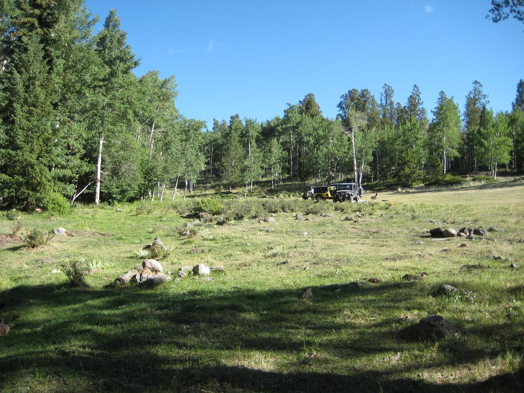 Brewery CreekHikingPhoto: GSEC, CC BY 2.0 (via Flickr)2.9 mi
- Brewery Creek Guard StationCamping3.8 mi
- Brewery Creek CabinCamping3.8 mi
- Silver Creek Dispersed CampgroundCamping7.4 mi
- Ohaver LakePier fishing8.2 mi
Source: Roamze catalog (indexable pages within 10 miles, PostGIS distance)
- Mount OuraySummit · ~12 min drivePhoto: David Herrera from Albuquerque, NM, Bernalillo, CC BY 2.5 (via Wikimedia Commons)
- Chipeta MountainSummit · ~15 min drivePhoto: Jbsco, CC BY-SA 4.0 (via Wikimedia Commons)
 Long Branch BaldySummit · ~24 min drivePhoto: Jbsco, CC BY-SA 4.0 (via Wikimedia Commons)
- Hunts PeakSummit · ~26 min drivePhoto: Jeffrey Beall, CC BY-SA 2.0 (via Wikimedia Commons)
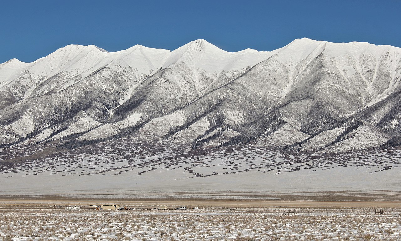 Mount OttoSummit · ~31 min drivePhoto: Jeffrey Beall, CC BY-SA 2.5 (via Wikimedia Commons)
- Mount AetnaSummit · ~32 min drivePhoto: Bill Ward, CC BY 2.0 (via Wikimedia Commons)
 Galena PeakSummit · ~33 min drivePhoto: Jeffrey Beall, CC BY-SA 2.0 (via Wikimedia Commons)
 Tomichi DomeSummit · ~35 min drivePhoto: Draconrex, CC BY-SA 3.0 (via Wikimedia Commons)
 Tabeguache PeakSummit · ~36 min drivePhoto: John Sowell, CC BY-SA 4.0 (via Wikimedia Commons)
 Carbonate MountainSummit · ~36 min drivePhoto: John Sowell, CC BY-SA 4.0 (via Wikimedia Commons)

