
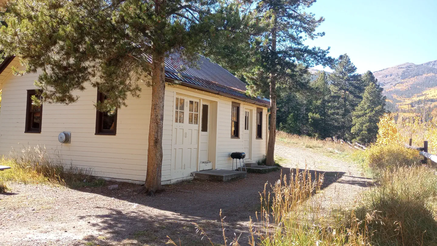

San Luis Valley Campground
Hiking business nearby (~13 mi away) — hasn't claimed their Roamze page yet
Free — you'll pick up right here.
Watch this trail
Sign up to watch it — saving subscribes you to gate, closure and report changes.
Colorado
6.8 mi
Distance
2,223 ft
Gain
No agency boundary, access route or field report is mapped to it — so there is no verdict, and we won't guess. We'll tell you the moment this trail has something to say.
Covered nearby
Trails within 25 miles where we do have a current picture.
Nobody's filed a report here yet — be the first.
Why you'll love it
Flagstaff
AI-suggested draft · review before you go
The Flagstaff Trail is a 7.0-mile out-and-back hike located near Colorado in Colorado and managed by the Grand Mesa, Uncompahgre and Gunnison National Forest's Ouray Ranger District. This trail offers hikers a straightforward out-and-back route, making it easy to customize your distance based on fitness level and available time. The trail is maintained by the GMUG NF, ensuring reliable trail conditions throughout the hiking season. The out-and-back format means you'll retrace your steps on the return journey, allowing you to enjoy the landscape from a different perspective. This structure also makes the trail accessible to a range of abilities, as hikers can turn around at any point along the route. The trail's location within the Ouray Ranger District places it in a scenic area of the Uncompahgre Plateau region, known for diverse terrain and mountain views. Whether you're planning a full 14-mile day or a shorter partial hike, the Flagstaff Trail provides a flexible option for exploring this part of Colorado's national forest system.

Elk Horn
~3 min drive
6.8 mi · Hard

Waterdog Lakes
~32 min drive
3.2 mi · Easy
Antora Creek
~0 min drive
3.0 mi · Moderate

Garner
~36 min drive
15 mi · Hard
Hot Springs
~37 min drive
2.4 mi · Easy
Indian Creek Cut-Off
~7 min drive
3.4 mi · Moderate
Brewery Creek
~1 min drive
6.1 mi · Hard
Gutz
~27 min drive
3.1 mi · Easy
Silver Creek
~10 min drive
8.9 mi · Moderate
Indian Creek
~12 min drive
8.9 mi · Hard
Local operatorsoffering guided trips. You book directly with them — Roamze doesn’t take a cut.
San Luis Valley Campground
Hiking business nearby (~13 mi away) — hasn't claimed their Roamze page yet
Monarch Spur RV Park
Hiking business nearby (~17 mi away) — hasn't claimed their Roamze page yet
Four Seasons RV Park
Hiking business nearby (~19 mi away) — hasn't claimed their Roamze page yet