Indian Creek Cut-Off
- 3.4 mi
- round trip
- 1,762 ft
- climb
- 12,230 ft
- high point
- Out and back
- route
Caution at last check
Agency alerts are in effect for this area; weather is good · USFS, OpenWeather · checked 16 h ago
Is Indian Creek Cut-Off open right now?
Closure in the area
There's a closure order in Rio Grande National Forest. It doesn't name Indian Creek Cut-Off, so check the source for the area it covers.
Closures and dangerous conditions on roads, bridges, and trails from flooding
Agency closure covering Rio Grande National Forest · USFS · Rio Grande National Forest
As of · Source: USFS · Rio Grande National Forest. Agencies don't list every closure — check before you go.
Indian Creek Cut-Off is a 3.4-mile out-and-back hike in the Saguache Ranger District of Colorado's Rio Grande National Forest, managed by the Forest Service. The trail rises from about 10,469 feet to about 12,230 feet, with a total elevation gain of 1,762 feet, and is rated moderate. The trail is natural-surfaced and allows both horses and bikes, so it works for riders and pack animals as well as hikers. The route is a single loop, so the climb and descent are part of the same outing. Several other trails sit within a few miles, including East Middle, Indian Creek and Middle Creek Trail. For an overnight base, Brewery Creek Guard Station and Brewery Creek Cabin are about 4.6 miles away.
Local outfitters
- Monarch Spur RV Park16 mi away
- San Luis Valley Campground17 mi away
Not on Roamze yet. Their page has how to reach them.
- East MiddleHiking3 mi
- Indian CreekHiking3.2 mi
- Middle Creek TrailHiking3.2 mi
- Tank SevenHiking3.3 mi
- Silver CreekHiking3.5 mi
- Brewery Creek Guard StationCamping4.6 mi
- Brewery Creek CabinCamping4.6 mi
- Silver Creek Dispersed CampgroundCamping9.7 mi
Source: Roamze catalog (indexable pages within 10 miles, PostGIS distance)
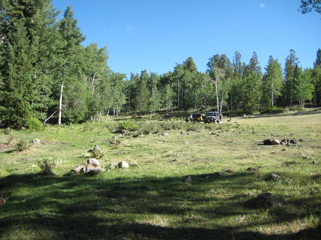 Brewery CreekHiking · ~6 min drivePhoto: GSEC, CC BY 2.0 (via Flickr)
- Antora CreekHiking · ~7 min drivePhoto: GSEC, CC BY 2.0 (via Flickr)
 Agate CreekHiking · ~15 min drivePhoto: jl_2, CC BY-SA 2.0 (via Flickr)
- Mount OurayHiking · ~18 min drive
- FlagstaffHiking · ~7 min drivePhoto: GSEC, CC BY 2.0 (via Flickr)
- Tank SevenHiking · ~6 min drive
- Lime Creek Trail 485Hiking · ~16 min drive
- AGATE CREEKHiking · ~20 min drive
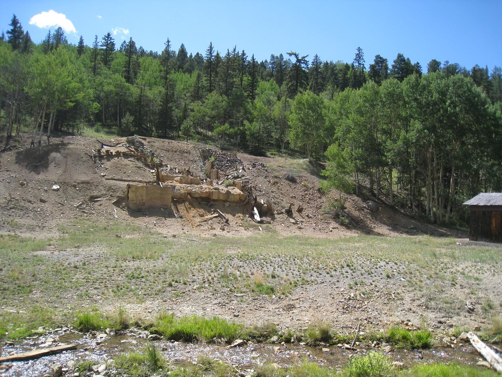 Elk HornHiking · ~10 min drivePhoto: GSEC, CC BY 2.0 (via Flickr)
- Silver CreekHiking · ~6 min drive


