O'Haver Campground
Campground
Campground · 6.5 mi from the trail
Alert in the area
The Forest Service lists 7 alerts for Pike and San Isabel National Forests.
FSR 286, Radical Hill, is closed due to washouts and unsafe conditions
Agency alert covering Pike and San Isabel National Forests · USFS · Pike and San Isabel National Forests
Interlaken Hotel Tree Hazards
Agency alert covering Pike and San Isabel National Forests · USFS · Pike and San Isabel National Forests
Sharpe Fire Update
Agency alert covering Pike and San Isabel National Forests · USFS · Pike and San Isabel National Forests
Turquoise Lake Road (County Road 4) Closure
Agency alert covering Pike and San Isabel National Forests · USFS · Pike and San Isabel National Forests
Food Storage Prohibitions on Pike-San Isabel National Forests
Agency alert covering Pike and San Isabel National Forests · Order 02-12-00-23-07 · USFS · Pike and San Isabel National Forests
As of · Source: USFS · Pike and San Isabel National Forests. Agencies don't list every closure — check before you go.
Summit is a moderate out-and-back hike in Colorado's Pike and San Isabel National Forests, within the Salida Ranger District. The trail is about 4.3 miles long, with a total elevation gain of 1,499 feet, and it starts and ends at the high point of 11,168 feet. The climb is steady, and the steepest stretch comes early, around 0.2 miles from the start, where the grade reaches about 14 percent. The route is a loop in shape, with the same amount of gain and loss over the full trip. That makes it a good choice for a day on foot, with the high point reached about halfway through the hike. The trail sits on Forest Service land, and the nearest town is Salida. The trip takes about two hours, so plan on a full day if you want to pair it with other stops in the area. Nearby, the Colorado Trail 1776 and the Silver Creek hike are each about a mile away. The Monarch Crest Trail is about 2 miles off, and O'Haver Campground is roughly 6.5 miles away for an overnight stay.
O'Haver Campground
Campground
Waunita Pass
Viewpoint
Places © OpenStreetMap contributors
More in PitkinNot on Roamze yet. Their page has how to reach them.
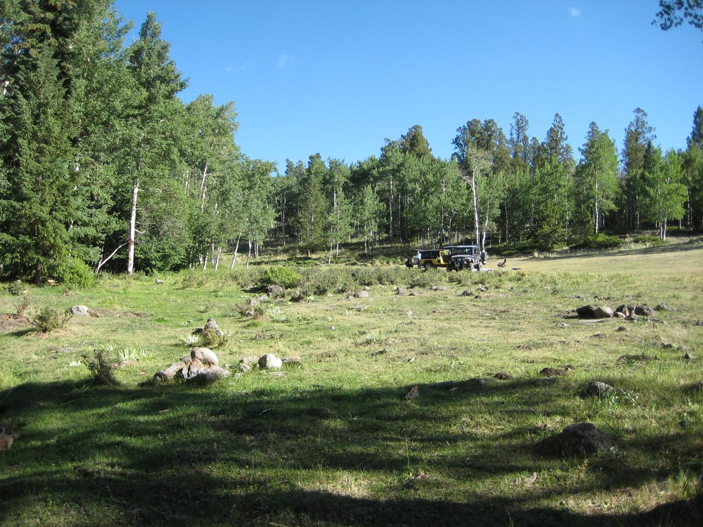
 O'Haver CampgroundCampingPhoto: Jeffrey Beall, CC BY 4.0 (via Wikimedia Commons)6.5 mi
Source: Roamze catalog (indexable pages within 10 miles, PostGIS distance)
 Agate CreekHiking · ~7 min drivePhoto: jl_2, CC BY-SA 2.0 (via Flickr)
 Brewery CreekHiking · ~10 min drivePhoto: GSEC, CC BY 2.0 (via Flickr)Antora CreekHiking · ~11 min drivePhoto: GSEC, CC BY 2.0 (via Flickr)FlagstaffHiking · ~11 min drivePhoto: GSEC, CC BY 2.0 (via Flickr)
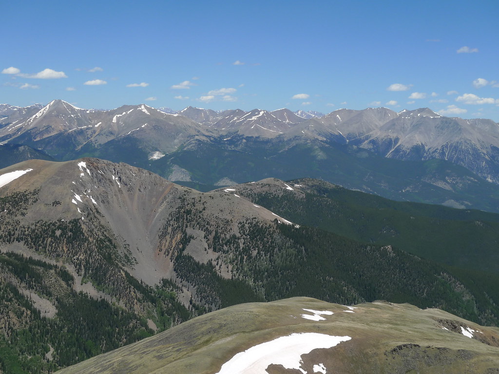 Pass Creek Trail 1412Hiking · ~11 min drivePhoto: jl_2, CC BY-SA 2.0 (via Flickr)
